White government building

Join world-leading governments by adopting advanced telematics solutions

Realise the safety, efficiency and cost-reducing possibilities of joining the world’s largest connected fleet.
Request a demo

Key points

Dark blue lock icon with bright blue data points inside

Exceptional data security and local support for regulatory compliance standards

Bright blue seat belt icon inside dark blue circle

Advanced driver safety notifications and reporting for employee and public safety

Dark blue bar graph icon with a bright blue leaf icon above it

Leading electric vehicle support from transition to ongoing EV management


Government-level data security
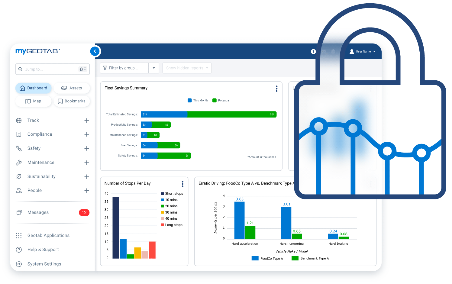
Geotab works with major federal, state and local governments around the world. We offer the level of service these jurisdictions require by having world-class data security. Geotab’s data is encrypted between the device and the server, and is only accessible to designated personnel. To provide the highest level of data protection and security, Geotab has achieved the FIPS 140-2 standard to protect the confidentiality and integrity of your private information.
government level data security
data of vehicles and suitable ev recommendations

Support your current fleet and transition to the electric future

Government authorities across Australia are imposing electric vehicle quotas as we transition to a carbon-neutral future. To help you make the transition, Geotab has developed the Electric Vehicle Suitability Assessment (EVSA) to compare the data of your fleet’s daily requirements over a long enough period to match each vehicle with a suitable EV replacement. Geotab can then help you report on EV battery levels and trends to optimise your charging strategies and cut costs as well as carbon.

Why Geotab

  • Live tracking to manage emergency services
  • Collision detection and reporting for public safety
  • Unparalleled EV support
  • Meet EV objectives with the EVSA
  • Predictive maintenance to stretch budgets further
  • Include driver ID for pooled vehicles
View brochure

Keep everyone safe on the road

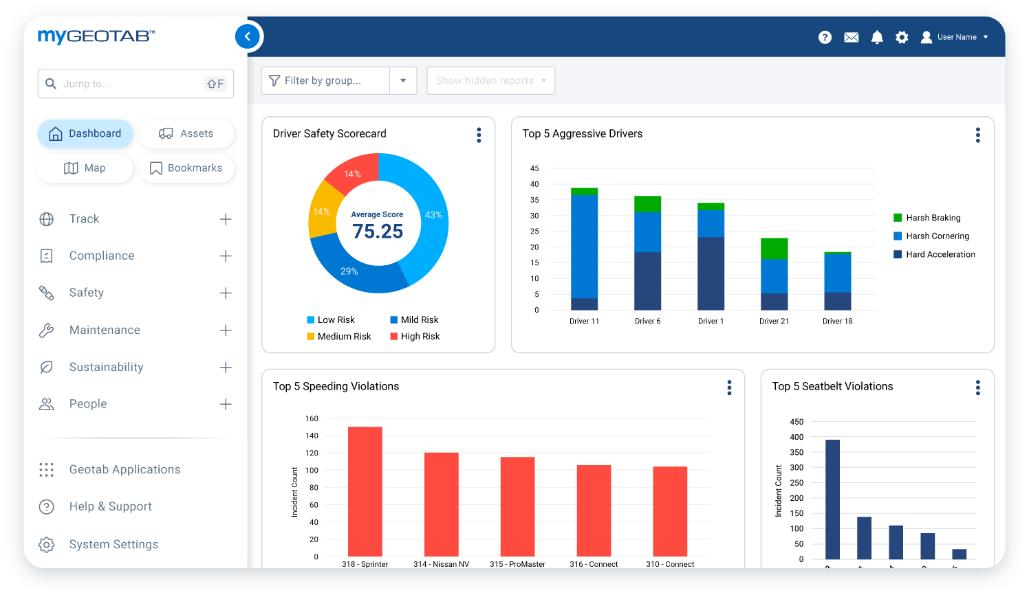
Keeping your team and the public safe is the goal of every fleet manager. Geotab’s advanced safety features let you report on current and historical vehicle usage and safety habits. This includes seat belt use, speeding, harsh acceleration, braking, turning and more. Review driver safety scorecards or receive instant notification when a driver breaks your safety rules. Geotab’s technology can also reconstruct collision events to help you investigate safety issues in real-time.
mygeotab data on driver safety scorecard
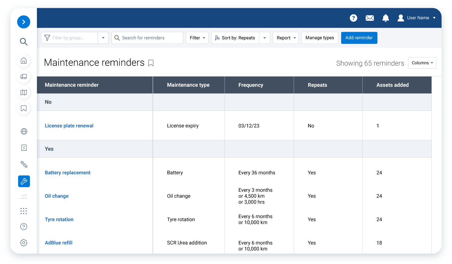
data for maintenance reminders

Cut asset procurement and maintenance expenses with smarter fleet management

As fleets try to reduce assets, efficient allocation of vehicles is key. Use Geotab’s vehicle tracker with a driver ID module to remove the need to assign one person per vehicle. Reduce procurement costs and ongoing maintenance by using your assets in a more productive way. Expand your solutions farther and predict maintenance requirements before issues arise to better deploy your team.

Solutions from the Geotab Marketplace

person working on an engine

Maintenance and diagnostics

Maximise uptime by ensuring your vehicles are operating at their peak. Solutions include predictive maintenance, remote diagnostics, collision reconstruction and maintenance management.
two people discussing data on TMS

Fleet management and TMS

Enterprise-level solutions to assist in day-to-day operations. Solutions include maintenance trackers, fleet tracking software, and the official MyGeotab app.
fleets showing fuel data

Fuel management

Track fuel metrics that have a direct impact on your bottom line. Solutions include emissions and idling trend reports, overall fuel usage, and fuel card integration.


Commonly asked questions

Public sector fleet management is a specific subset of telematics management that is designed for fleets of all sizes. Public sector fleet management solutions are designed for emergency services, utilities, smart cities and any other public sector vehicle fleet.

Geotab's public sector fleet management solutions offer the following benefits: 

  • Simplified contracts 
  • Support for Council and Local government authorities 
  • Rigorous data security 
  • Support for meeting electric vehicle (EV) acquisition targets 
  • Support for meeting sustainability targets 
  • Critical intelligence to help streamline regulatory compliance and reporting 
  • Reduced total cost of ownership (TCO) of fleet vehicles 
  • Improved public and employee safety 
  • Minimized greenhouse gas emissions

Geotab uses a small, easy-to-install telematics device to capture rich vehicle and driving data, including ultra-accurate engine and EV battery diagnostics. 


With fast GPS acquisition time and high-quality recording, these devices ― in combination with MyGeotab fleet management software ― enable councils, local government authorities and other public and third sector fleets to access and leverage vital data from their fleets. 


Through analytics and machine learning, Geotab transforms this large volume of data into critical intelligence for fleets, helping to improve fleet management and performance.

With 2,000 public sector customers and counting, Geotab is continuously developing and expanding its solution offering based on the growing and evolving needs of public sector fleet managers. But some requirements remain fundamental across all authorities and at all levels of government. 


To keep pace with current trends and demands in the public sector, Geotab's telematics platform solution works to: 

  • Promote sustainability 
  • Support and advance EV adoption employee and public safety 
  • Automate compliance 
  • Boost efficiency 
  • Streamline maintenance and lower maintenance costs, detecting engine issues in advance 
  • Simplify deployment and expansion 
  • Lower fuel costs 
  • Right-size fleets

Geotab’s fleet management solutions for government fleets can help authorities improve their fleets’ safety as well as the safety of other road users. Geotab’s GO devices and the MyGeotab open telematics platform support authorities in monitoring their fleets at all times. Use active tracking for emergency vehicles. By doing so, they will be able to reach operation sites faster. MyGeotab enables you to monitor, analyse and visualise important vehicle and fleet data to help you make better decisions. 

Geotab’s web-based software and fleet tracking devices are perfect for managing government fleets on all levels such as: 

  • Police and first responders 
  • Winter operations 
  • Utilities 
  • Smart City

Geotab’s tracking devices allow you to monitor your fleet vehicles at all times. You will be able to access important safety information in real time. You can introduce custom rules in MyGeotab to monitor driver behaviour and improve safety. Geotab fleet management solutions offer the highest level of security and are FedRAMP-certified.