Trans Adriatic Pipeline controls fleet health and safety with Geotab
Geotab provided the Trans Adriatic Pipeline (TAP) with a sophisticated, global fleet management solution to help manage a diverse fleet and workforce. With Geotab, TAP was able to tackle driver safety by vehicle but also by driver, to ensure a safe fleet for safe pipelines.
Published: Jan 30, 2018
Updated: Aug 17, 2022
Introduction: Changing Energy in Europe
Eventually able to transport 10 billion cubic metres (bcm) of natural gas to Europe annually, the Trans Adriatic Pipeline (TAP) helps set the stage to diversify and better secure Europe’s energy market. To summarize the importance of securing more natural gas for Europe, global gas demand is expected to rise nearly 2% by 2022 — increasing by nearly 400 bcm to about 4,000 bcm.1 The pipeline is expected to supply natural gas to about 7 million households.2
In bringing more natural gas to the area, TAP will also help reduce CO2 emissions compared to other energy options available such as coal,3 natural gas produces fewer greenhouse gases, so improving air quality and thus human health as well.4 Economically speaking, the diversification should ultimately help to reduce prices by creating more competition amongst energy providers.5
At over 870 km long, the pipeline covers a vast area. It spans Northern Greece and Albania, then travels underneath the Adriatic Sea to connect to the natural gas network in Southern Italy. Once completed, the pipeline opens the Southern Gas Corridor bringing more natural gas to Austria, Germany, France, Bulgaria and many other countries in central and south east Europe.6
TAP’s commitment to health and safety recognises that the project has a duty of care to its host communities, workforce, and shareholders. The project’s target is zero fatalities or serious incidents. Geotab is an essential tool in implementing the health and safety guidelines and achieving the project target.
The Challenge: Local to Global Needs
Not only does the pipeline span several countries, TAP covers difficult and remote terrain. New roads are being constructed and old ones are being either upgraded or repaired to allow access to the pipeline’s route.7
From its beginning at the Greece/Turkey border where the altitude is just 25m above sea level, the pipeline’s highest altitude reaches 1,800m, as it passes through the mountains of Albania, and crosses the Adriatic Sea at a depth of 820m, before it finally enters Italy.8
Terrain is not the only challenge for such an enormous civil engineer project. Ambient temperatures range from well below freezing during winter, to as high as 45 degrees celsius in summer. The project transits three different countries and involves more than 2,500 drivers, speaking at least nine languages.
Day-to-day fleet and operational challenges:
- Managing a diverse fleet of 37 vehicle makes, 83 models of cars, pickups, SUVs, trucks, and heavy construction equipment, ranging in age from brand new to some more than 20 years old
- Varying levels of driver and operator skill and experience
- Measuring against international standards of safety and performance, while allowing for differing local legislation in each country and for each vehicle type
- GSM-network coverage is inconsistent, particularly in remote areas
- Publically available detailed local mapping and speed-limit data is often inaccurate or simply not available at all
- The system security must be in accordance with international guidelines and data must be hosted within the EU
- TAP personnel, respective contractors and subcontractors must be able to access system data relevant to their particular area of responsibility
- Access must be limited to each user’s own vehicles, in accordance with predefined data access levels
These challenges require a sophisticated, global solution to help manage the diverse fleet and workforce.
The Solution: Complexity, by Design
Vehicle Hardware
To facilitate more than 2,500 possible drivers, Geotab’s GO7 solution combines NFC Driver-ID technology and an Iridium satellite module. This means that TAP can track operations by driver, as well as access backup communication in areas without active GSM coverage.
The first installations began in February 2016, to vehicles in Albania, by Geotab Certified Installers ensuring seamless installation, optimum system performance and reliability.
Software
A central database, hosted at Geotab facilities in Belgium, connects the TAP Journey Management Centres (JMCs) based in Thessaloniki, Greece and Tirana, Albania. Manned continuously while vehicles are active on the project, the JMCs are responsible for safeguarding driver and vehicle activity and implementing relevant response protocols in case of emergency.
The JMCs also provide feedback and performance information to relevant TAP personnel, management teams and contractors and subcontractors. Using Geotab’s customisable grouping and user-access features, each contractor and subcontractor also has access to the system, allowing them to view their vehicles with varying degrees of data and reporting access, as required.
Within driver and vehicle activity, TAP clearly defined a detailed series of “non-negotiable” rules and requirements based around driver safety and vehicle impact on the local environment and other road users. To follow this activity, a series of rules were set up within MyGeotab to record and alert managers on the following:
Speeding: Different limits were set for public roads and construction sites, for example, a maximum of 20 km/h was set in construction zones.
Driving times: Tracking by driver, limits were set to 2 hours of driving followed by a minimum 15-minute break.
Seat belts: Seat belts must be worn at all times, so with this rule managers can see when drivers are not wearing a seatbelt.
Customised reports can then be created to easily measure and report on performance against these non-negotiable rules.
The Need for Local Data
Tracking this activity required a complex solution for such a diverse fleet. Cars, buses and trucks have different speed limits depending on the type of road, with limits and rules also varying in each country TAP transited through. The unreliability or inaccuracy of publicly available mapping data, particularly in remote areas, compounded the complexity of measuring this activity.
Accordingly, TAP elected to utilise their GIS mapping data to accurately create and import detailed “Zones” to MyGeotab.
Geotab Marketplace partner, Zenduit, provided its GIS integration tool. Almost 1,800 zones were imported to MyGeotab and allocated against various “Zone Types” to manage specific speed rules for each region, vehicle type and for each local condition.
The Results: A Full View for Zero Casualties
Aligned with their commitment to safety, TAP has a targeted goal of zero casualties and zero serious incidents during all phases of construction. To accomplish this goal, TAP complies with the European Bank for Reconstruction and Development (EBRD) standards along with their own Health, Safety, Security and Environment (HSSE) policies. Additionally, TAP has strategically instituted comprehensive risk-based competency training programs to closely monitor the health and safety of all it’s contractors and suppliers. The goal is to eliminate, prevent, detect, control, and mitigate all hazards.
TAP has been able to tackle driver safety with the Geotab solution giving them the ability to track activity not just by vehicle but also by driver. The addition of the Iridium module means they can stay in constant contact with the field by being able to access communication in areas without active GSM coverage. Without this backup coverage, it would be much harder, if not impossible to mitigate many of the hazards that workers and drivers encounter every day.
Timeline of Adopting Telematics:
February 2016: Initial Geotab installations begin on vehicles based in Albania.
August 2016: Installations begin on fleet in Greece.
December 2016: Installations begin on fleet in Italy.
February 2017: Approximately 90% of the installations are completed, while installations continue to rollout as new sub-contractors join the project and as new or replacement vehicles arrive.
Timeline of fleet safety milestones:
January 2017: TAP announces 15 million kilometres driven without a serious road accident.
September 2017: At the end of September TAP reached 38.6 million kilometres which is exactly 10 times this Earth/Moon comparison.
It is also of note that these safety milestones have taken place in a region with very high accident fatality rates. TAP has initiated public Road Safety Awareness campaigns, particularly in Albania whose Ministry of Transport and Infrastructure report that with just 565,000 registered vehicles nationally, on average 168 road accidents occur each month of which 22 are fatal.9
Using Data for Training and Counsel
Using individual driver information and custom reports on the non-negotiable rules, TAP and its contractors are able to see the “best and worst” drivers via a Driver Rating Report. While complex on the back-end, as it utilises TAP’s own driver scoring system, this report gives managers a quick look at which drivers may need more training and counselling, while drivers with a strong safety score can be recognised for their efforts. Conversely, for repeat offenders, it allows TAP to reduce risk before a serious accident occurs by working with drivers early and developing a performance improvement programme.
To help drivers meet TAP’s safety standards, drivers are equipped with several tools as a result of implementing telematics in fleet:
- In-cab alerts: Geotab’s system helps remind drivers of safety protocols and provide live feedback on their driving behavior.
- Guidebook: all drivers are given an extensive guidebook in their respective language which advises them how the Geotab system is used to create a safer fleet. It also uses information from the system to provide detailed maps of the areas around the pipeline, what the road speeds are and other restrictions that may apply. Essentially, this printed document gives drivers clear guidelines of what will be expected of them out on the road.
Conclusion
The significant fleet safety milestones reached so far by TAP are a testament to the winning combination of a strong driver safety program, skilled management, and the robust fleet tracking solution. Using Geotab technology to help track, modify, improve and measure success along the way, TAP serves as a great example of how to execute a multinational, modern and comprehensive safety program.
From the Fleet Manager
“Transportation remains the greatest risk of any international construction project. Safety is our number one priority and the successful performance of the TAP fleet can be attributed to several factors: management buy-in, team commitment as well as investment in training.
The fact that TAP executive management and the senior project managers have bought into the concept of safe fleet management has been key to our robust track record. Using Geotab to constantly monitor activities, we have been able to adjust driver behaviour and, above all, reduce, prevent and mitigate transport risks.
Secondly, TAP has a highly committed contractors team. Their hard work, competency and persistence in managing vehicle maintenance and journey management systems have been truly outstanding.
Finally, TAP has invested and continues to invest in refining and updating our reports and the Geotab system, training drivers and, above all, implementing key learnings. Constant awareness training for drivers, backed up by the deterrent of a disciplinary process, has been key to the success of our fleet management.”
— Joe Shone – TAP Project Logistics Manager
Table of contents
Client profile
Client name:
Trans Adriatic Pipeline
Industry:
Oil, Gas and Mining
Fleet size:
1500
Fleet focus:
Client profile
Client name:
Trans Adriatic Pipeline
Industry:
Oil, Gas and Mining
Fleet size:
1500
Fleet focus:
Other stories
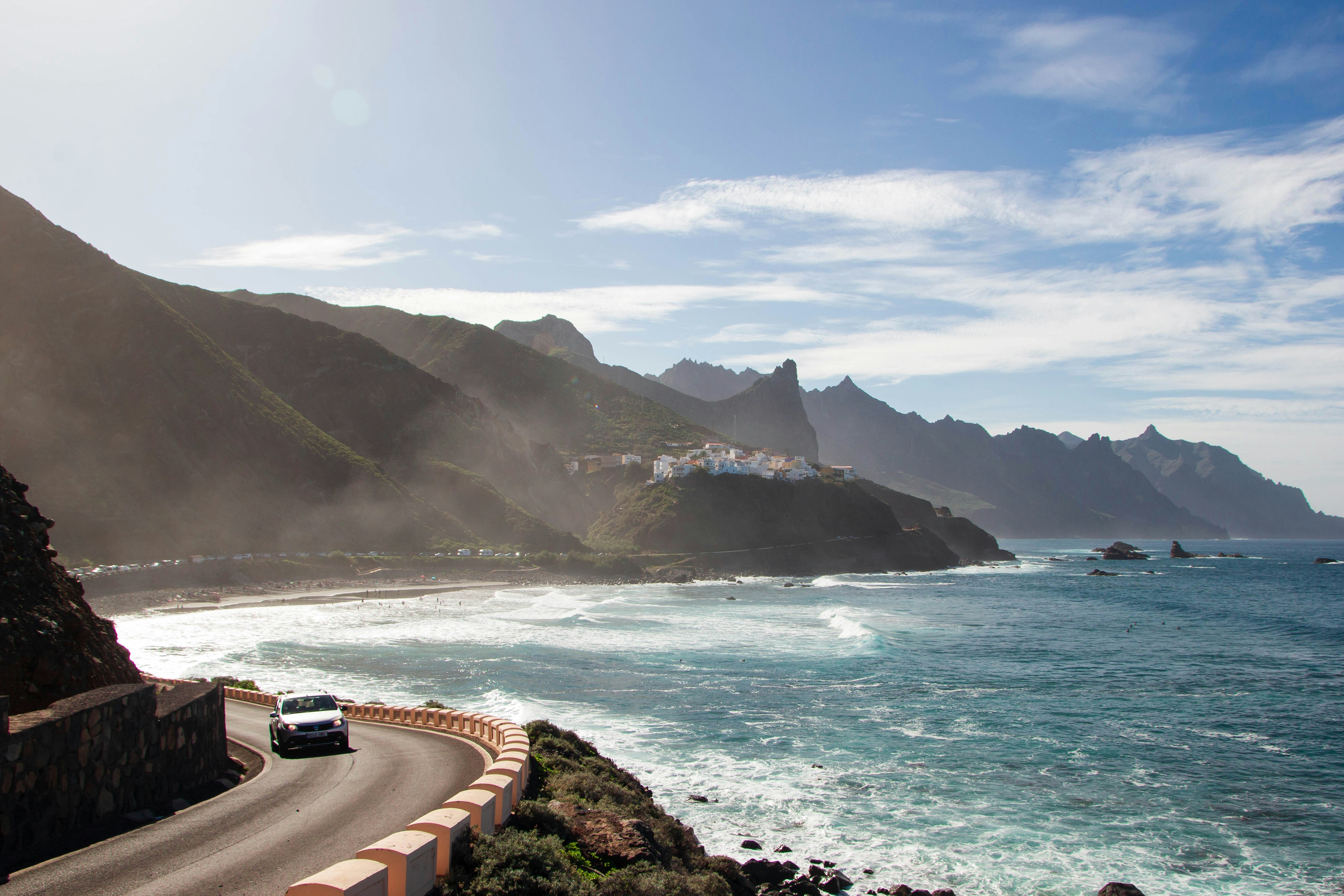
How Canarias.com manages 1200 vehicles on Europe's most in-demand island
June 8, 2026
3 minute read
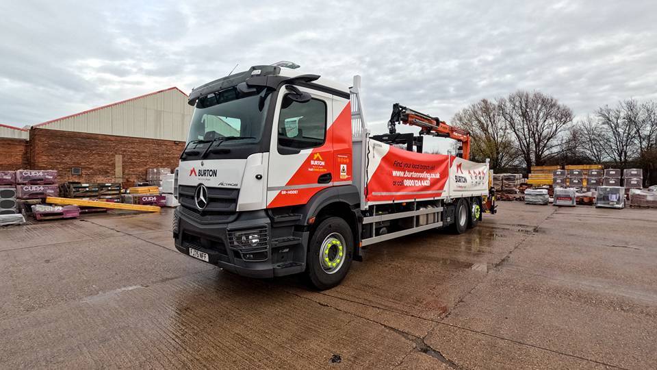
Motormax & Geotab: Driving Safety, Efficiency and Compliance for Burton Roofing Merchants
February 5, 2026
5 minute read
Dipesa Group Ibiza sees a 20% decrease in fuel consumption and a 10% decrease in traffic accidents
November 21, 2023
5 minute read
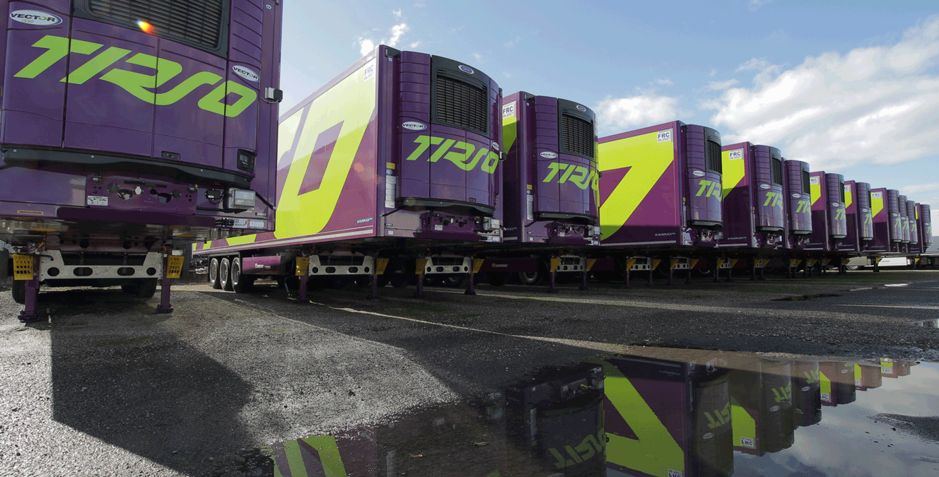
Telematics, logistics and Industry 4.0: Geotab central link in Tirso's cold chain
October 16, 2023
5 minute read