The accuracy of geographical positioning systems
Geographical positioning systems (GPS) have become a ubiquitous part of our lives. How good is a modern-day positioning system in measuring coordinates?

By Serge Pavlov
Oct 25, 2022

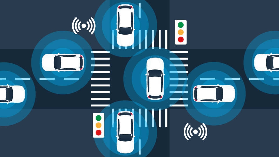
Geographical positioning systems (GPS) have become a ubiquitous part of our lives. Whether it is through their involvement with routing applications or fleet management systems, we are often taking the technology and the results it generates for granted.
Management by Measurement?
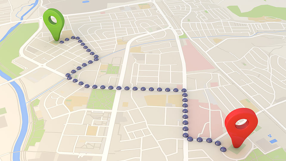
So how good is a modern-day positioning system in terms of measuring geographical coordinates? Can we reliably base our decision-making on the data it provides?
For the U.S. government-operated and most widely used commercial positioning system, high-quality receivers provide better than 2.2-meter horizontal accuracy in 95% of cases, and better than 3 meter accuracy at a 99% confidence level [1].
Accuracy tends to be higher in open areas with no adjacent tall buildings (also known as Urban Canyons) or bridges/tunnels to obstruct or interfere with the signals.
Developments in improving the quality of geographical positioning:
- The ongoing GPS modernisation programme is adding new civilian signals and frequencies to the GPS satellites [2].
- Integration of two or more positioning systems (i.e. GPS & GLONASS) within a single receiver [3].
- Low cost “hybrid” systems that are capable of continuous reliable positioning even when GPS signals are not available. This is achieved through the integration of GPS with inertial sensors that would override invalid or unavailable GPS [4].
With respect to accuracy and the possibility of sudden changes in positioning error rates, there are geographical positioning system limitations that should always be taken into account. These limitations are essential to consider for alarm-sensitive applications like security/geofencing systems, posted road speed detection/risk management, or any kind of automatic control system. When the issue becomes apparent, steps must be taken to reduce GPS accuracy dependency.
Contact Geotab if you are experiencing frequent GPS accuracy-related issues to discuss details and attain help in resolving the problem.
See also: History of GPS satellites and commercial GPS tracking
References:
[1] National Coordination Office for Space-Based Positioning, Navigation, and Timing. (2014, March 17). GPS Accuracy. Retrieved from gps.gov: http://www.gps.gov/systems/gps/performance/accuracy/
[2] National Coordination Office for Space-Based Positioning, Navigation, and Timing. (2014, March 17). GPS Accuracy. Retrieved from gps.gov: http://www.gps.gov/systems/gps/performance/accuracy/
[3] GPS World Staff. (2014, January 8). Quad-Constellation Receiver: GPS, GLONASS, Galileo, BeiDou. Retrieved from GPS World: http://gpsworld.com/quad-constellation-receiver-gps-glonass-galileo-beidou/
[4] Carlos III University of Madrid. (2013, February 12). Precision of GPS in cities improved by 90 percent. Retrieved from ScienceDaily: http://www.sciencedaily.com/releases/2013/02/130212121858.htm
Subscribe to the Geotab Blog
Serge Pavlov is a Software Architect, Team Lead for Geotab.
Table of contents
Subscribe to the Geotab Blog
Related posts

Data-Driven Innovations in Fleet Management: highlights from Geotab Mobility Connect 2024
November 28, 2024
3 minute read