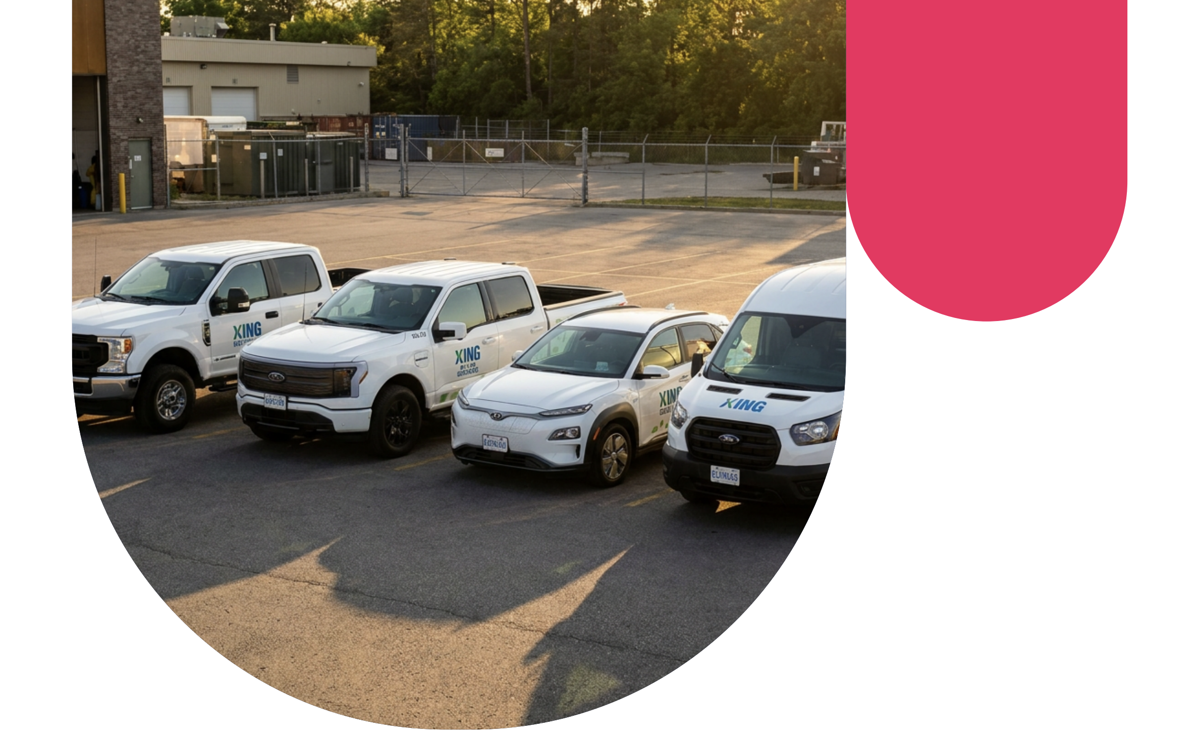
How Port Colborne uses Geotab to manage 300+ vehicles across five departments
With Geotab, Port Colborne turns fleet data into faster insurance resolutions, safer roads, and a clear path to fleet electrification — all from an easy-to-use platform
Published: Nov 28, 2024
Updated: Apr 24, 2026

Success Highlights
- The City of Port Colborne resolves insurance claims related to slip-and-fall incidents, parking lots, and waterway operations in hours by accessing GPS data and camera footage directly from MyGeotab.
- Port Colborne uses Geotab-integrated cameras to prevent collisions, monitor field conditions remotely, and protect workers and residents.
- Port Colborne is using usage patterns, route data, and idle time already captured by Geotab to identify which vehicles are ready for electric vehicle conversion — reducing costs for taxpayers while advancing municipal sustainability goals.
The City of Port Colborne, a small municipality in Ontario, Canada, manages over 300 pieces of equipment across five departments — bylaw enforcement, parks, roads, waterways, and snow removal. With Geotab's easy-to-use fleet management platform and integrated camera systems, the city now resolves insurance claims in hours instead of weeks, has achieved a driver performance score of 75% or higher across all departments, and is actively planning the electrification of its municipal fleet using real-world data.
The challenge: managing a growing municipal fleet without real-time visibility
The City of Port Colborne operated a legacy fleet management system that was slow and difficult to use when staff needed to retrieve data quickly. Insurance claims involving slip-and-fall incidents, parking lot accidents, and vehicle collisions required days or weeks to investigate — placing the burden of proof on the city with limited evidence. Without real-time location data or integrated video, supervisors had no way to remotely monitor winter road operations or verify equipment deployment during waterway emergencies.
As the fleet grew in complexity across five departments, the city needed a solution that could serve both operational oversight and risk management without requiring technical expertise from its staff.
The solution: Geotab fleet management platform with integrated cameras
The City of Port Colborne implemented Geotab's fleet management platform through Dican Inc., integrating onboard cameras with the MyGeotab dashboard. The platform, provides all five municipal departments with a single, intuitive interface for real-time operational data, video access, driver performance monitoring, and fleet analytics — no IT specialist required.
How the city of Port Colborne uses Geotab?
Port Colborne applies Geotab across four core areas, each generating measurable impact on safety, efficiency, and accountability:
1. Insurance Claim Resolution
The City of Port Colborne uses Geotab camera footage and GPS data to resolve insurance claims related to slip-and-fall incidents, parking lot disputes, and vehicle collisions. Claims that previously took days or weeks to investigate are now resolved in hours. Fleet Manager Tim Anderson confirmed the city used Geotab to handle a waterway-related insurance claim by identifying exactly which vehicles responded, at what time, and where — pulling footage and location data directly from the MyGeotab dashboard in minutes.
2. Camera Safety Systems for High-Risk Vehicles
- 360-degree camera in the road sweeper: Installed to give the operator full visibility of curbs, gutters, and passing vehicles, improving safety during street cleaning operations. The city is now replicating this setup in a second sweeper.
- Side-bin camera on the lugger truck: Allows the operator to visually confirm that the surrounding area is clear before the side bin activates — preventing pedestrian collisions during waste collection operations.
- 4-camera live view system on snow plows: Supervisors can monitor plow operations remotely from home or any off-site location through the MyGeotab dashboard. If an operator reports deteriorating weather or requests additional resources, supervisors can verify field conditions in real time without being physically present.
3. Driver Scorecard Program
The City of Port Colborne activated Geotab's driver scorecard feature and divided reporting by department. Supervisors and managers receive monthly performance reports without manual data collection. When the city submitted a Request for Quotation for insurance renewal, Tim Anderson used scorecard data to demonstrate that Port Colborne maintained a driver performance threshold of 75% or higher across all departments — directly supporting the city's case with objective, data-backed evidence.
Results at a glance
| Category | Key Result |
|---|---|
| Claim Resolution Speed | Near-instantaneous (Hours vs. previous Days/Weeks) |
| Safety Standards | Driver Scorecard performance maintained at 75%+ |
| Camera Hardware | 360° Sweeper, Lugger Side-bin, and 4-Camera Snow Plow (Live) |
| System Integration | 5 Departments (Bylaw, Parks, Roads, Waterways, Snow Removal) |
| Sustainability | Electrification Planning (Data-driven via Geotab analytics) |
| User Accessibility | Zero IT expertise required for standard operation |
"With Geotab, we can log in and access the data within minutes. For collision investigations or insurance claims, the platform makes it easy to pull footage and data in real-time. It's so helpful and it's very easy to navigate on a daily basis. We don't have to be a specialist through Geotab or IT — anyone can just go on and it works."
— Tim Anderson, Fleet, Stores and Facilities Manager, City of Port Colborne
Next Steps
Port Colborne is using Geotab's data analytics to evaluate which vehicles in its fleet are candidates for electric vehicle conversion. By analyzing real-world route data, idle time, and usage patterns already captured by the platform, the city can make evidence-based decisions to reduce greenhouse gas emissions and improve cost efficiency and serve both taxpayers and municipal sustainability commitments — without requiring additional surveys or manual audits.
“As we move towards electrifying our fleet, Geotab is helping us make data-driven decisions on which vehicles to electrify, aligning with our sustainability goals and providing real savings for the city,” Anderson concluded.
Frequently asked questions
Geotab provides municipalities with real-time fleet data, driver scorecards, and instant alerts that significantly reduce risks and improve driver performance. The City of Port Colborne integrated onboard cameras with Geotab's platform, enabling comprehensive fleet monitoring and quick resolution of safety incidents. This data-driven approach allows supervisors to track compliance with fleet policies and address unsafe behaviors promptly.
Yes. Geotab supports integration with onboard cameras for sanitation and waste collection vehicles. The City of Port Colborne installed a side-bin camera on its lugger truck so operators can visually confirm the surrounding area is clear before the bin activates — reducing the risk of pedestrian collisions during waste collection.
Geotab supports winter road maintenance by providing real-time GPS tracking, vehicle deployment records, and live camera feeds. The City of Port Colborne deployed a 4-camera live view system on its snow plows, allowing supervisors to monitor operations remotely via the MyGeotab dashboard. The platform also tracks salt loaded, returned, and used during snow events, helping the city optimize material usage and reduce costs.
Yes. The City of Port Colborne is a small municipality that manages over 300 pieces of equipment across five departments without a dedicated IT team for fleet operations. Geotab's MyGeotab platform provides an intuitive interface that fleet managers, supervisors, and operators use independently — making it a practical solution for municipalities of any size.
Client profile
Client name:
City of Port Colborne
Industry:
Public Sector
Fleet size:
100
Fleet focus:
Client profile
Client name:
City of Port Colborne
Industry:
Public Sector
Fleet size:
100
Fleet focus:
Other stories

Swift Ride Eliminates Fleet Theft and Saves Over $400K Annually with Geotab
March 25, 2026
1 minute read