What’s new in MyGeotab — January 2024
Welcome to our latest summary of updates to MyGeotab.
Jan 29, 2024
Updated: Nov 6, 2024
Personalizing user in-app onboarding in MyGeotab
| ! IMPORTANT: This feature is being rolled out gradually throughout February, available exclusively to new Customers. |
As we continue to introduce more valuable solutions to the platform, we’re ensuring we balance offering a range of functionality, while maintaining ease of use, especially for new Customers. We recognize that everyone uses MyGeotab differently according to their business objectives. With that being said, we decided to launch a personalized and interactive onboarding experience from the moment you first log in.
Defining your Job Priorities
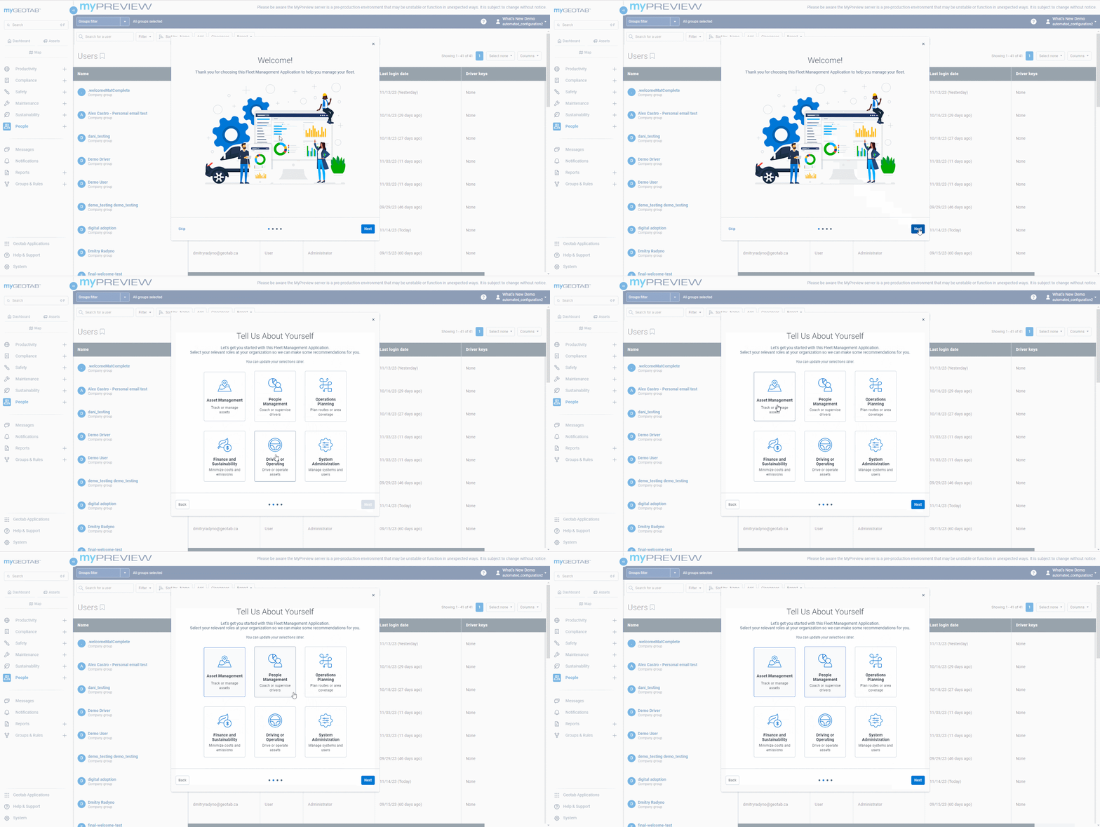
Upon logging into MyGeotab, you now have the opportunity to shape your experience by selecting and ranking your Job Priorities. Priorities can range from Asset tracking, minimizing costs, Route planning, and more.
Receiving your Quick Start Guides
Based on your top priorities, you will receive Quick Start Guides that are designed to streamline your onboarding experience by tailoring the information to your unique needs and reducing information overload.
For instance, Maintenance Managers will receive step-by-step guidance on setting up Maintenance Reminders, reviewing their Upcoming Maintenance, and setting up Maintenance-related rules.
Whereas System Administrators will be guided through adding Users, setting up Groups, and configuring user permissions.
| ✱ NOTE: In this release, the Quick Start Guides will only be available for new users in English, Canadian French, and Latin American Spanish. They will be available for our remaining supported languages soon! |
For a comprehensive overview of each Job Priority’s Quick Start Guide, we encourage you to refer to our New User Onboarding Guide.
Learning with In-App Walkthroughs
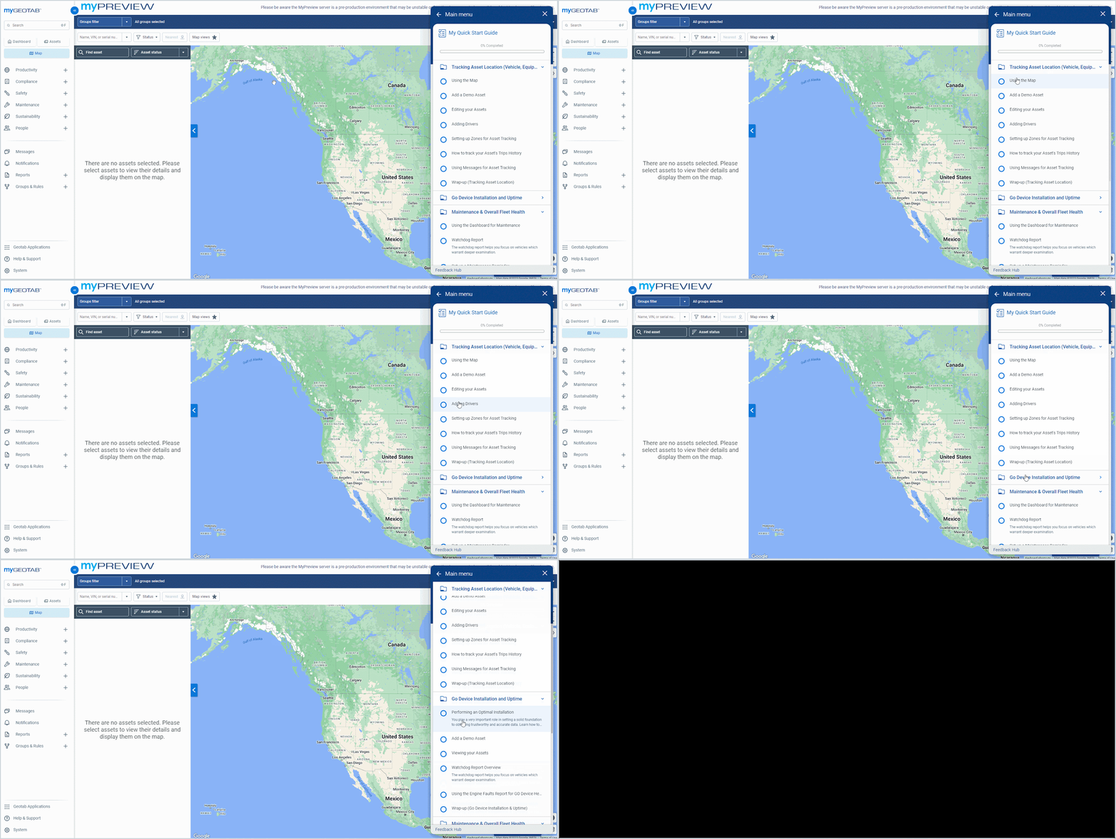
Within the Quick Start Guides, dive deeper into the platform with interactive in-app walkthroughs. These are designed to support you by:
- Highlighting key tasks – Discover your most important tasks in MyGeotab and how to use them
- Getting familiar with your routine – Understand how to perform your daily workflows until it becomes effortless.
- Setting up your configurations – Ensure you are set up correctly in MyGeotab from the outset.
- Tracking your progress – Revisit the walkthroughs at any time by clicking the My Quick Start Guide button and learn at your own pace.
Previewing your Dashboards with sample data
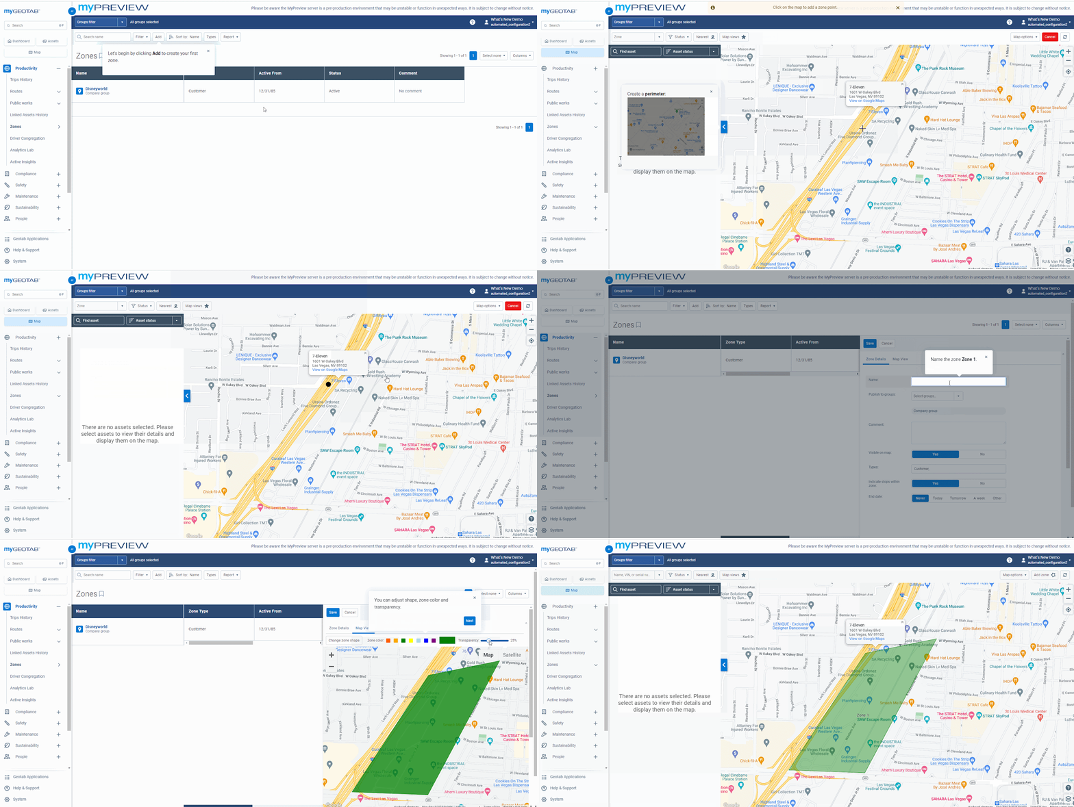
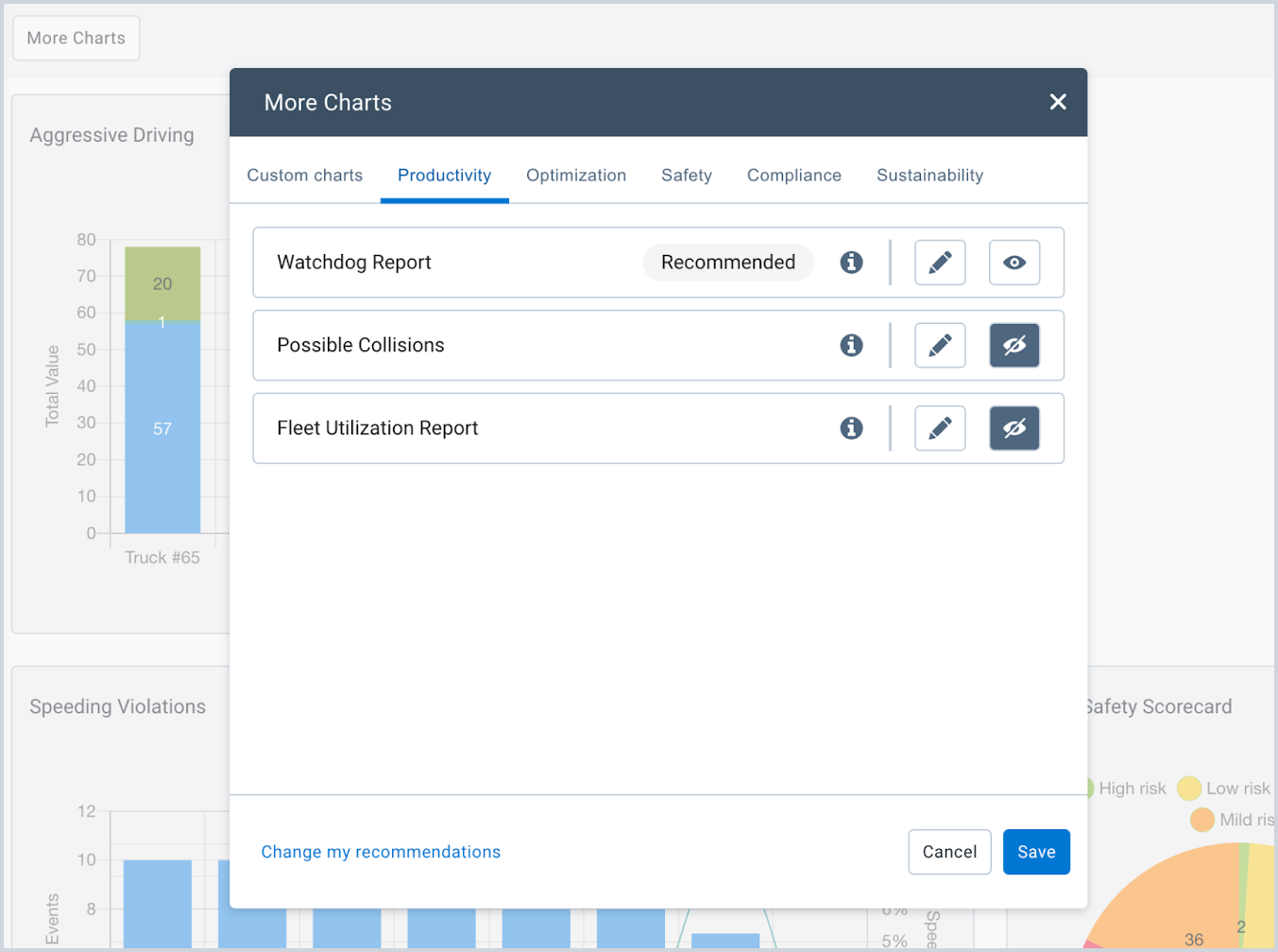
We also provide auto-generated dashboard reports to give you a sneak peek at your future reports. These are based on your chosen Job Priorities and are available even if there are no assets in your database yet! As you begin adding your assets, your real data will replace the sample data.
Register new databases to suit your needs
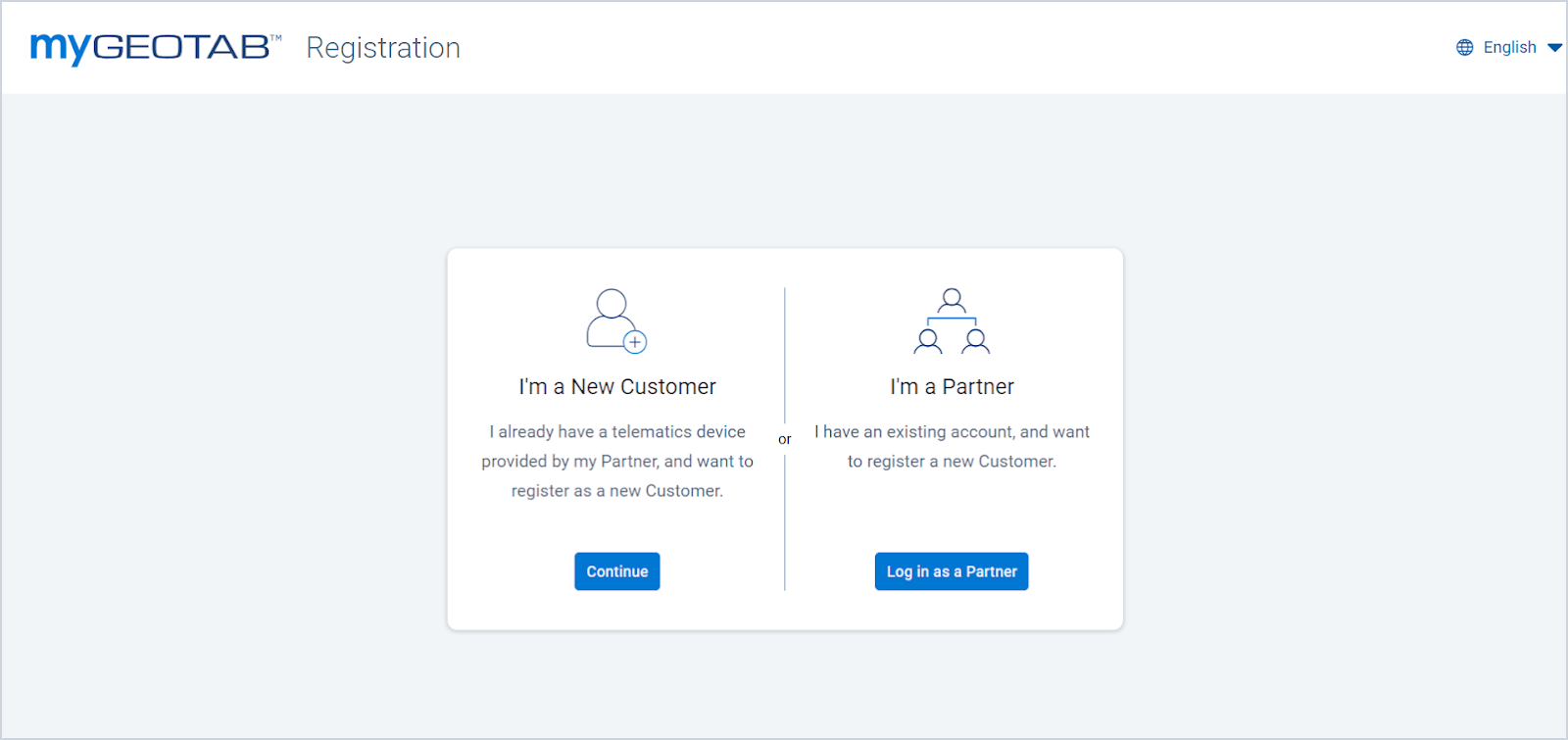
Start the registration process by selecting the path that best fits your profile from the following two options:
- I’m a New Customer — Register as a new Customer.
- I’m a Partner — Register a new account for yourself or on behalf of a Customer.
Check out the Software Setup section of the Product Guide to learn more about your registration options.
Stay on top of your safety using the Major collision detection rule
Our primary focus is to ensure that you’re quickly notified of any major collisions in your fleet immediately when they occur. To achieve this goal, we’ve introduced a new rule to MyGeotab’s Safety Portfolio for all customers:
- Major collisions – Detects major collisions. These are classified as collisions above 2.5 G or the equivalent to a change in speed greater than approximately 90 km/h or 56 mph in 1 second.
This new rule expands on the Possible Collision Detection rule by using machine learning to better identify collisions and minimize false positive collisions in the system.
For additional details about collision detection rules,refer to the Collision Detection User Guide.
What else is new from Geotab
Revamping Public Works
Geotab’s Public Works solution has had a handful of updates to simplify your fleet management by monitoring the effectiveness of public service operations.
Improved Live Route default timestamp
We’ve improved the Live Route page of Public Works tracking to automatically set a date/time if Reset log has never been used. Previously, if you never clicked Reset log, the page would refresh to the current time the page was loaded, and subsequently every time the page was visited until Reset log was selected.
This button is typically used for scenarios where there's a need to start fresh with route tracking. Using the Reset log button allows for a clean slate in recording the subsequent events of the route.
To access this, navigate to the MyGeotab main menu, Productivity > Public Works > Route Completion and select the Live tracking type.
Other Improvements
- Refined the Percent Complete between the Route Completion User Interface (UI) and downloaded reports for consistency and reliability.
- Improved the initial load time for Route Completion in the Live route view to accommodate reloading for areas with large quantity zones (more than 15K - 25K).
- The IOXWorks firmware version 26 is now available. For more information, refer to the Geotab PublicWorks IOXWorks Firmware v26 Release Notes.
In case you missed it, prior to 2024 we also made the following updates to Public Works:
- Improved Shapefile uploads to use Polylines versus simple geographies. Now with any ShapeFile uploads, Public Works Routes are uploaded using Polylines for more accurate results in both Historical and Live settings.
- This feature also adds showing Partially Complete routes in the Live view with legends to help understand what is now Completed, Partially Complete, and Incomplete.
- Improved the discoverability of Public Works Route Completion and Material Management. These features are part of the MyGeotab menu redesign and live as a submenu now under Productivity > Public Works.
- Provided the ability for Citizen Insights Administrators to publish and populate the text that displays on notification banners for Citizens to view from the Citizen Insight public facing websites.
- Added the ability to hide assets not moving on Citizen Insights map.
Release Notes
To learn more about all the latest improvements and fixes we’ve deployed, read through our Release Notes webpage.
Got feedback?
If you would like to submit feedback regarding new features, you can do so at any time through the Feedback Hub or your Partner.
Sign up for Geotab news
Stay up to date on what’s new and subscribe to the Geotab newsletter to get these update posts emailed to you.
Subscribe to get industry tips and insights
The MyGeotab and Technical Writing Teams write about MyGeotab updates for Geotab.
Table of Contents
Subscribe to get industry tips and insights
Related posts
