All county bus ends pedestrian accidents with Geotab and ai camera integration
All County Bus eliminated six recurring pedestrian incidents by integrating Geotab with Roscoe AI cameras across 212 specialized vehicles.
Published: Oct 22, 2024
Updated: May 1, 2026

Success Highlights
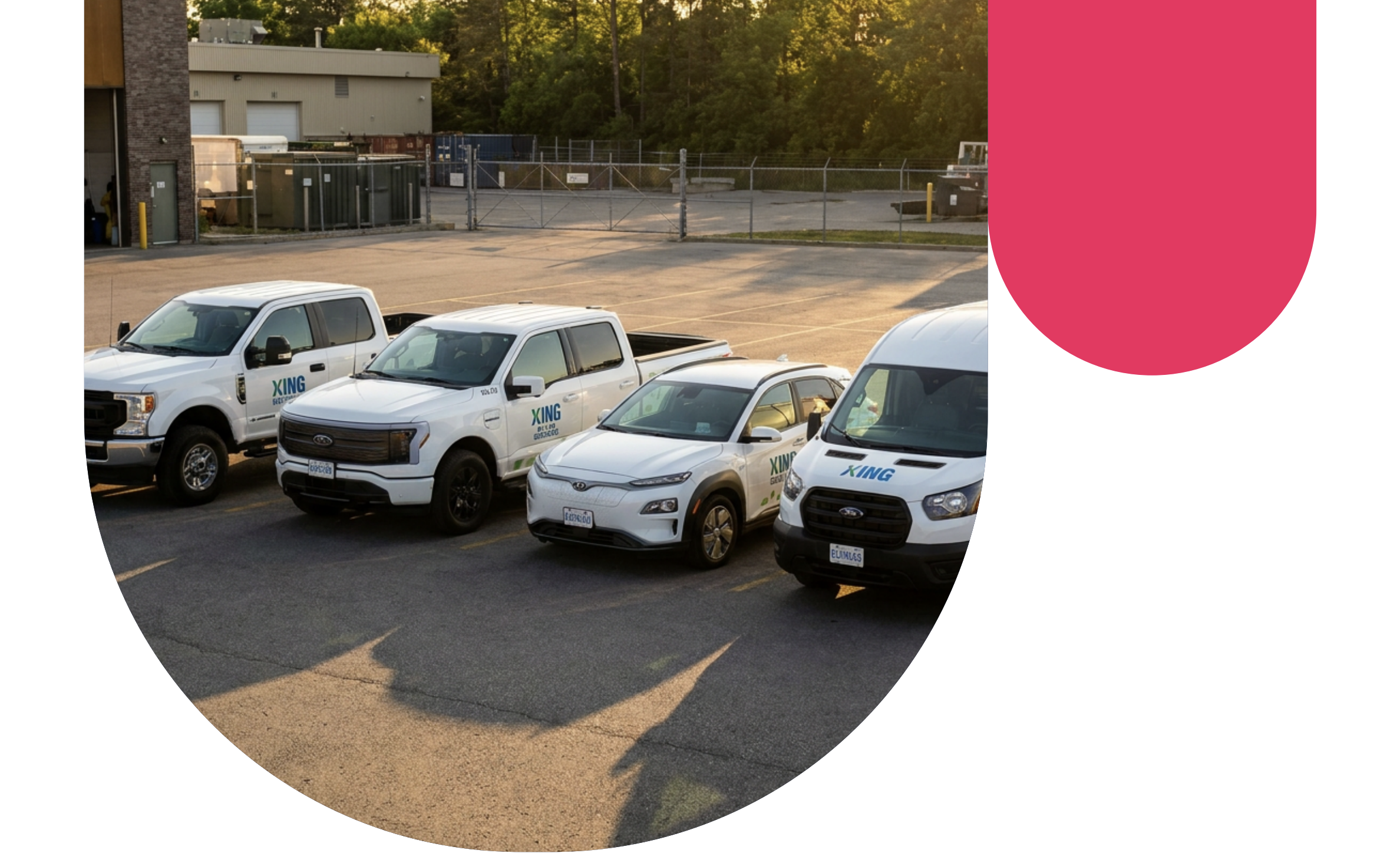
- All County Bus manages a 212-vehicle fleet transporting special needs children and preschoolers, requiring advanced safety and compliance measures beyond standard school bus operations.
- AI-powered forward collision alerts and pedestrian detection give drivers real-time warnings to prevent accidents in high-risk student pickup and drop-off zones.
- Geotab's unified platform consolidates vehicle usage, driver behavior and AI safety alerts into actionable insights for fleet managers.
- Geotab student transportation solutions help specialized fleets reduce risk, improve compliance and optimize routes for vulnerable populations.
Donald Gregory has been running All County Bus for years, but the moment that reframed everything was a count: six pedestrian knockdowns over the course of a couple of years, across a fleet serving some of the most vulnerable riders on the road. Gregory and Randy Vasquez, Director of Fleet Technology, weren’t looking for just a camera system. They needed technology that could identify risk before impact, surface driver distraction the moment it was happening, and consolidate everything into a single operational platform.
Since deploying Geotab with Roscoe AI camera integration through Mobilize, All County Bus has not recorded a single pedestrian accident.
The challenge: high-risk routes, no real-time visibility
All County Bus operates 212 specialized small vans — serving special needs children and preschoolers on complex out-of-district routes. With two employees on each vehicle and sometimes additional monitors, the fleet had significant human oversight on paper. In practice, knowing what was actually happening on the road was nearly impossible.
Three problems compounded each other:
- No real-time driver monitoring: Events were reviewed after the fact, not prevented before impact. By the time footage was pulled, the collision had already occurred.
- No distraction detection: A driver looking at a phone had no accountability mechanism in the moment. The system only knew what happened, never what was about to.
- Six pedestrian knockdowns in two years: The highest-severity incident type for a fleet transporting children. Every one of them, in Gregory’s words, was avoidable.
Gregory and Vasquez knew the answer wasn’t more cameras. It was smarter technology (telematics and video telematics) connected to a platform that could turn data into prevention:
The solution: Geotab, Roscoe AI cameras, and mobilize Integration
Real-time driver distraction detection
The core of All County Bus’s safety transformation is AI-powered distraction detection through Roscoe cameras integrated with Geotab via Mobilize. The system with AI tracks eye movement in real time — the moment a driver’s eyes leave the road, an alert fires immediately back to the office. No delay. No waiting for a review cycle.
“If you’re looking at the alerts, you’re capable of seeing it’s going off the moment those eyeballs are not facing forward — and that’s amazing.” — Randy Vasquez
That real-time signal means dispatch can respond with urgency, calibrated to the severity of the event, before a situation escalates.
Pedestrian and collision alerts
The Roscoe AI system surfaces a full suite of safety alerts through the Geotab platform: forward collision, urban forward collision, lane departure, and pedestrian detection — all feeding back to the office in real time. For a fleet operating in dense urban and suburban environments with vulnerable passengers on board, each alert category directly addresses the conditions that produced the fleet’s prior pedestrian incidents.
Geotab as the central hub
Every solution All County Bus has evaluated runs through the Geotab platform. That consolidation is not a convenience — it’s operationally critical. Vasquez and Gregory can monitor vehicle usage, analyze driver behavior, and act on safety events from a single dashboard, without managing disconnected systems.
The relationship with Eagle, their Geotab reseller partner of 18 years, underpins the entire program.
“I rely on Eagle to keep me on the edge of technology as it’s changing. I feel better putting my head on the pillow at night knowing I’ve got them on it.” — Donald Gregory
Zero pedestrian incidents and a safety culture as a result
From six incidents to none
The result is unambiguous. All County Bus recorded six pedestrian knockdowns over a two-year period before deploying Mobilize with Roscoe cameras. Since deployment: zero. For a fleet serving special needs children on high-complexity routes, that outcome is the metric that matters above all others.
Driver accountability through real-time data
The shift from accident review to accident avoidance required changing what the system measured — and when. By surfacing distraction and collision risk in the moment rather than in a post-incident review, All County Bus moved driver accountability upstream. Operators now have a metric system tied to their behavior, and managers have the data to coach proactively rather than discipline reactively.
Results at a glance:
Detail | Data |
| Fleet size | 212 vehicles |
| Vehicle type | Specialized small vans |
| Ridership | Special needs children and preschoolers |
| Technology stack | Geotab + Roscoe AI cameras + Mobilize |
| Key alerts | Forward collision, pedestrian detection, lane departure, driver distraction |
| Key result | Zero pedestrian accidents since deployment |
| Prior incidents | 6 pedestrian knockdowns in 2 years |
| Reseller partner | Eagle (18 years in business) |
Geotab’s own camera solution
All County Bus built their safety program around Roscoe cameras integrated through Mobilize — one of many third-party solutions that run on the Geotab platform.
But for fleets looking for a native option, Geotab now offers its own camera family with GO FOCUS, designed to deliver AI-powered driver monitoring and safety alerts directly within the Geotab ecosystem — no third-party integration required.Explore the Geotab GO FOCUS camera family
Frequently asked questions
Geotab's integration with AI-powered cameras provides real-time pedestrian detection and forward collision alerts that warn drivers immediately when risk is detected. This proactive approach allows fleet managers to intervene before incidents occur, rather than reviewing footage after accidents have already happened. All County Bus eliminated six pedestrian knockdowns by deploying this technology across their 212-vehicle specialized fleet serving special needs children.
Real-time driver distraction detection uses AI-powered cameras to track driver eye movement continuously while the vehicle is in operation. The moment a driver's eyes leave the road—such as looking at a phone—an alert is sent immediately to dispatch through the Geotab platform. This enables fleet managers to respond with appropriate urgency before a distraction escalates into an incident, moving driver accountability upstream from post-incident review to active prevention.
Yes, Geotab serves as a central hub that consolidates vehicle usage data, driver behavior analytics, and AI safety alerts from integrated systems into a single dashboard. This eliminates the need to manage disconnected systems and provides fleet managers with actionable insights from one unified platform. All County Bus uses this consolidation to monitor forward collision alerts, pedestrian detection, lane departure warnings, and driver distraction data simultaneously.
Special needs transportation fleets operate specialized vehicles on complex out-of-district routes carrying highly vulnerable passengers, often requiring multiple staff members per vehicle. These fleets need advanced safety measures beyond standard school bus operations, including real-time visibility into driver behavior and proactive accident prevention in high-risk pickup and drop-off zones. Geotab's student transportation solutions address these challenges by providing AI-powered alerts and unified data platforms designed specifically for fleets serving vulnerable populations.
Client profile
Client name:
All County Bus
Industry:
Student Transportation
Fleet size:
212
Client profile
Client name:
All County Bus
Industry:
Student Transportation
Fleet size:
212
Other stories
Swift Ride Eliminates Fleet Theft and Saves Over $400K Annually with Geotab
March 25, 2026
1 minute read
Waste Connections of Canada improves safety and accountability across 18,000 vehicles with Geotab
February 6, 2026
4 minute read
How Richards Building Supply reduced unsafe driving behaviour by 41% with Geotab Vitality
January 28, 2026
4 minute read