Arlington County: Increasing operational efficiency
Geotab provided a solution for Arlington County based on their unique needs.
Published: Jun 1, 2021
Updated: Aug 12, 2022

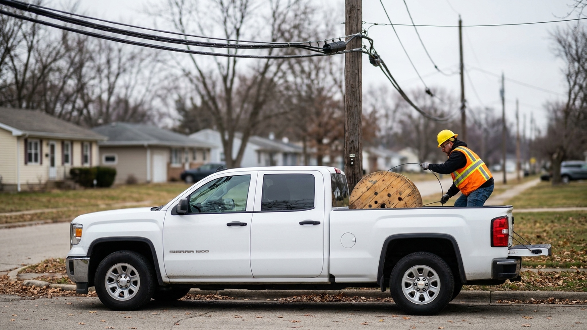
The team in Arlington needed an accurate, easy-to-install solution to serve the densely populated Northern Virginia county on the west side of the Potomac River. They found a solution with Geotab.
The Challenge: Finding flexibility
Covering 26 square miles, Arlington County, VA, faces the common challenges of a densely populated Mid-Atlantic urban community, including aging infrastructure and the almost-constant threat of powerful weather events, particularly heavy rains and snow.
Arlington’s fleet-related jobs were often managed with spreadsheets, which required slow and frequently labor-intensive updates. The County monitored its vehicles with a variety of GPS systems over the years, but those could not record the specific driver for each run nor did they offer a wider view for best practices like insight into the most effective storage locations around the County.
“We needed a multi-tiered view,” says Ben Baldwin, a safety specialist for Arlington.
Geotab offered the right combination of tools for efficiency and flexibility.
The Solution: Implementing easy and affordable telematics
Making the switch to Geotab in 2016 was a no-brainer, according to Jeremy Hassan, Chief Operating Engineer for Arlington’s sewers and streets. “We were using many different solutions but Geotab’s ease of install and reliability were great from the beginning.”
Baldwin adds that price was another deciding factor. Geotab represented a 10% savings in costs for the county. “And, we’ve gotten [several] other benefits from it, including engine data and preventative maintenance.”
Improving winter operations
A big plus has been with the County’s snow removal operations.
Because previous monitoring systems had to be hardwired into vehicles, the County either had to install telematics into contractors’ snow removal vehicles during a storm or pair telematics-equipped vehicles with ones lacking the technology. The tandem approach was less than ideal for accuracy.
With Geotab, every contractor vehicle can be properly equipped on the fly, providing more valuable data. For example, Geotab can help determine when a contractor’s vehicle is on Arlington streets or outside the County, allowing for precise billing records. Hassan is impressed by the reliability of this one feature alone.
Geotab also gives the County’s snow removal operations better ability to share its progress with residents in a storm.
“During winter operations, if we get 2 inches or more of snow, we turn on the County’s public-facing online Snow Activity Map,” says Hassan.
This gives residents an accurate overview of how many trucks are out, where they’ve been and where they’re going, in near real time.
Increased accuracy in operations
The Geotab solution also allows the Arlington team to take a wider look at other aspects of its operation.
“It helps with investigations, like tolling violations,” Hassan explains. “We can identify the vehicle down to the time and location. There’s no more guessing.”
Other monitoring uses include:
- Vehicle idling and health
- DVIR completion
- Use of transported equipment
Baldwin explains that by automating certain procedures, Geotab gives employees more time to focus on other matters.
“With the Geotab dashboard you can see engine faults in real time,” he says. “A report goes out and it pre-populates the auto maintenance request form. So employees don’t have to do anything in that regard.”
Advanced driver safety and benchmarking
The County uses Geotab’s Driver Safety Scorecard, requiring employees to swipe in and buckle up in order to use a vehicle. Failure to do so triggers an audible alarm. Any patterns of noncompliance with operational guidelines can be flagged quickly so they can be addressed and corrected. Hassan appreciates the wealth of information now available to him.
The Geotab solution has allowed the County to do regular fleet benchmarking of its vehicles.
“We can see where things stand now by looking at past history, routing and more,” explains Baldwin. “From an operational standpoint, Geotab has been very helpful.”
The Results: Enhanced visibility and reduced costs
With increased visibility, efficiency and productivity, Arlington County continues to move forward in serving its residents with telematics-generated insights.
With Geotab, fuel monitoring has never been more reliable. And vehicle diagnostic data and alerts can identify issues for maintenance long before costly repairs would have been necessary. The results can save thousands of dollars.
More broadly, Baldwin and Hassan say Geotab is helping to shape employee productivity by creating clear records of the most effective work methods.
Among the goals: “We’re talking about tying in salt application and brine reporting,” says Hassan. “We report on those on a storm-by-storm basis, but want to know where it was used, not just how much. We also want to get more plow and spreader data as well.”
Another application that has been useful is adding Geotab technology to street sweepers.
“We want to know when the brush is up and when it is down and then look at a map and know for sure where they’re sweeping,” Baldwin says. “Little wins just breed more uses and applications, and we don’t have to switch to another solution,” he adds.
The hope is to have GPS reporting down to the centimeter level in the not-so-distant future.
From the Fleet Manager
“Geotab is invaluable. It’s allowed us to comfortably expand our telematics project without feeling confined.” – Ben Baldwin, Safety Specialist, Arlington County, VA
Table of Contents
Client profile
Client name:
Arlington County
Industry:
Government
Fleet size:
475
Fleet focus:
Client profile
Client name:
Arlington County
Industry:
Government
Fleet size:
475
Fleet focus:
Other stories
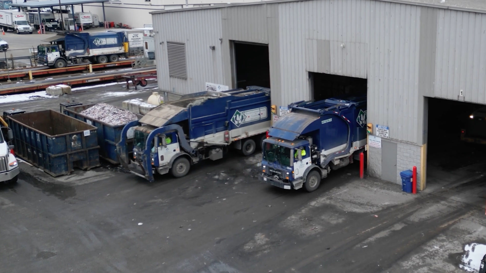
Waste Connections of Canada improves safety and accountability across 18,000 vehicles with Geotab
February 6, 2026
4 minute read
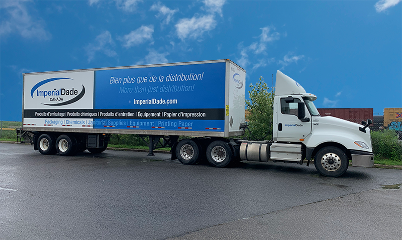
Imperial Dade Canada Boosts Safety and Sustainability with Geotab
January 27, 2026
1 minute read
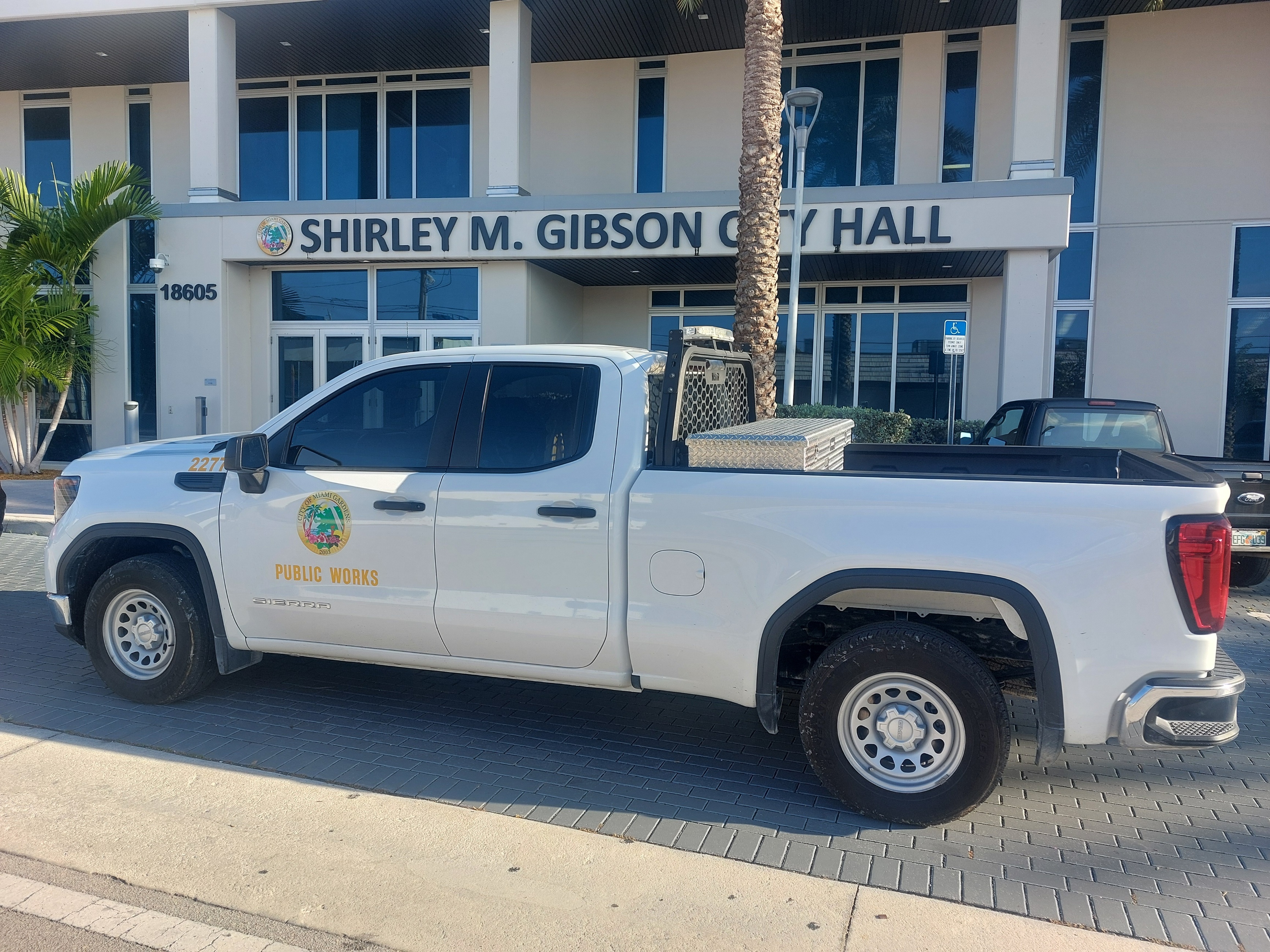
City of Miami Gardens: Cutting costs, saving lives with Smart Fleet Management
November 4, 2025
3 minute read