Delivering proof, control and accountability
Public Works fleet management
Budget control: Strengthen fiscal control by optimizing materials, risk, fuel, and maintenance.
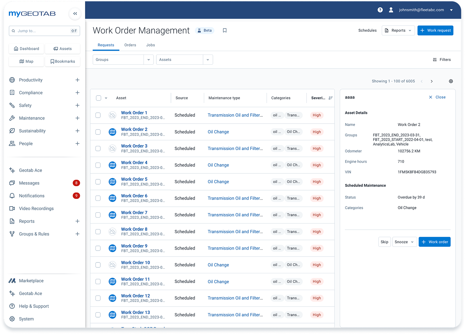
Complete fleet view: Consolidate all assets into one platform for streamlined data management and automated reporting.
Undeniable proof of service: Capture in-depth operational data for verifiable service documentation
Public transparency: Build trust with a public-facing online portal sharing real-time asset location and operational statuses
Transform your Public Works operations

Build public trust with real-time transparency
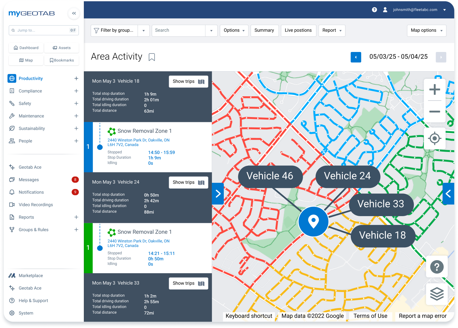
Transform complaints into confidence with a public-facing map showing your fleet operations in near real-time. Citizens can see snow removal progress, street sweeping schedules and service completion status, dramatically reducing complaint calls while empowering your 3-1-1 operators with a single source of truth.
The purpose-built solution for every Public Works operation
From snow removal to waste collection, we understand your unique challenges
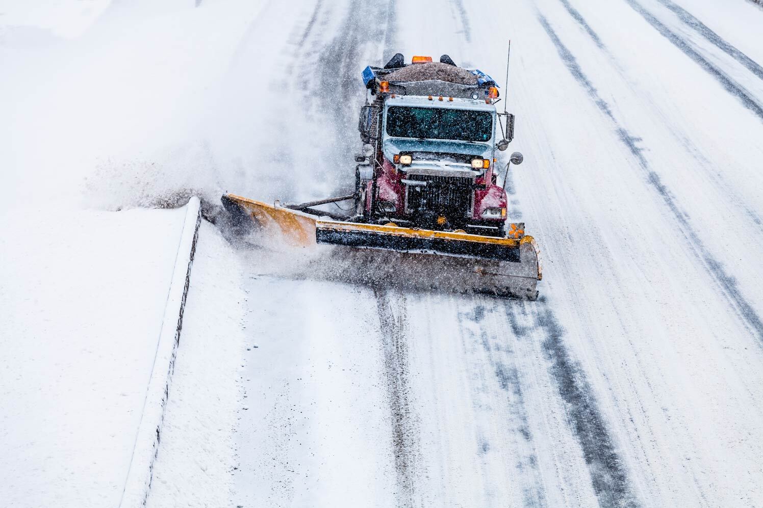

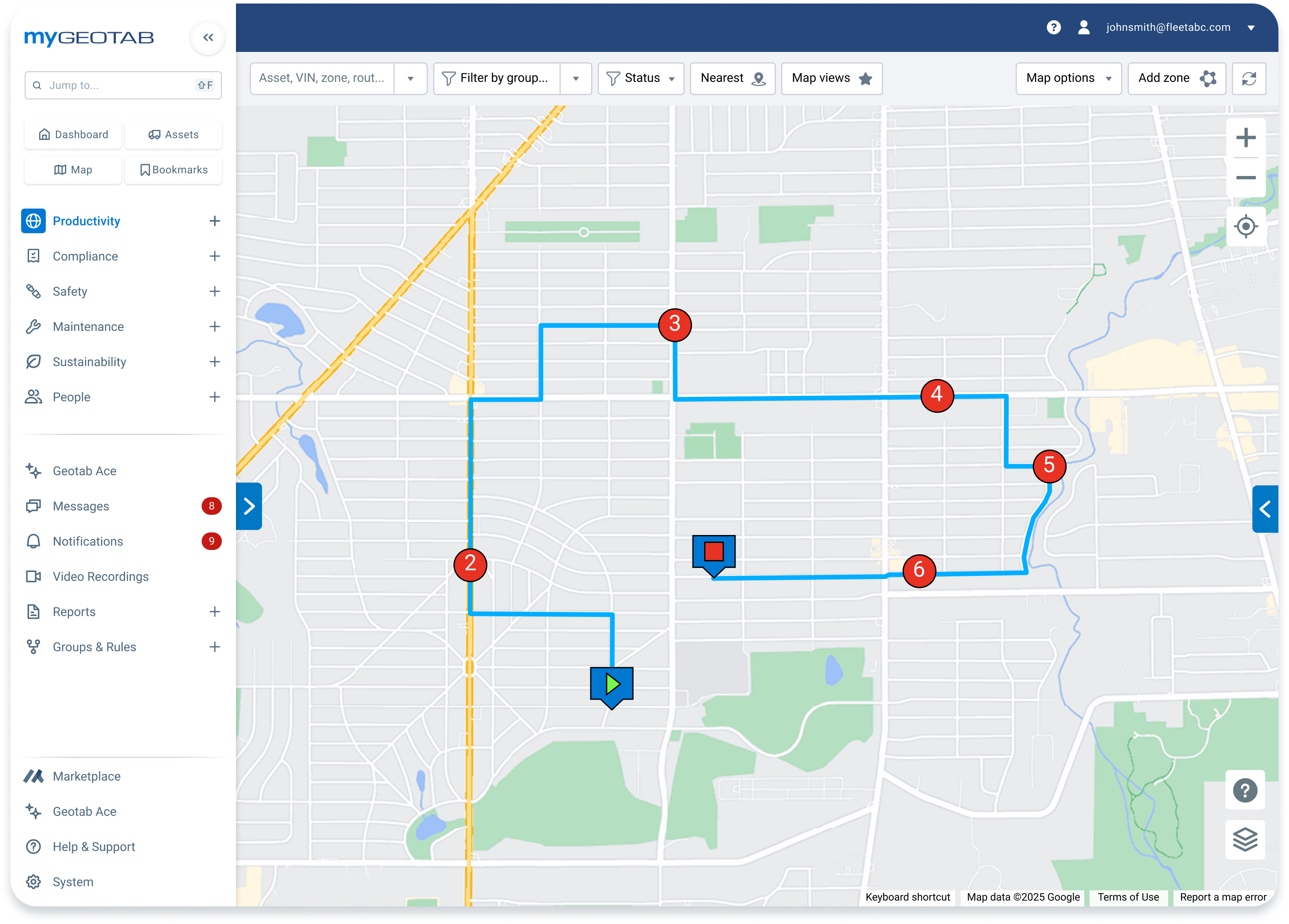
Monitor plow routes, salt application and equipment status in real-time during critical weather events.
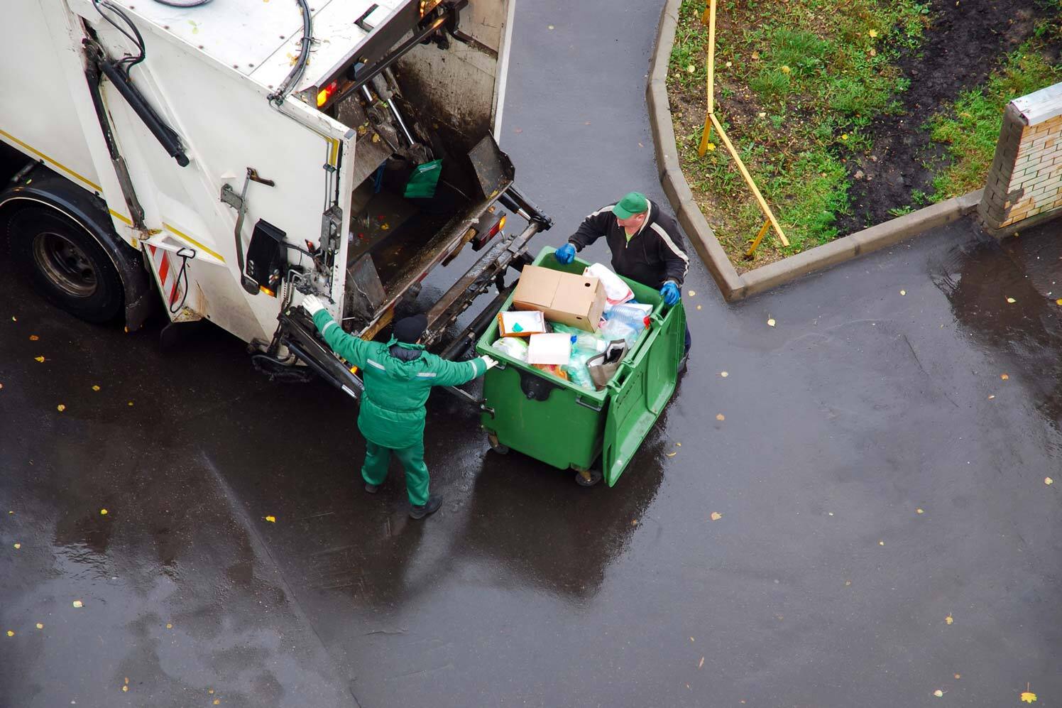
Optimize collection routes and monitor vehicle performance to deliver consistent service.
Verify cleaning schedules, track brush engagement and provide citizens with proof of service completion.
Trusted by 3,000+ public sector customers
-inline@2x.jpg)
Case study
King Township achieves 25% reduction in winter operations costs
Discover how King Township leveraged Geotab's comprehensive fleet intelligence to slash winter maintenance expenses while improving service delivery. Through optimized salt usage, predictive maintenance and route efficiency improvements, they transformed their most expensive seasonal operation into a model of fiscal responsibility and operational excellence.
The public sector's most trusted fleet intelligence partner
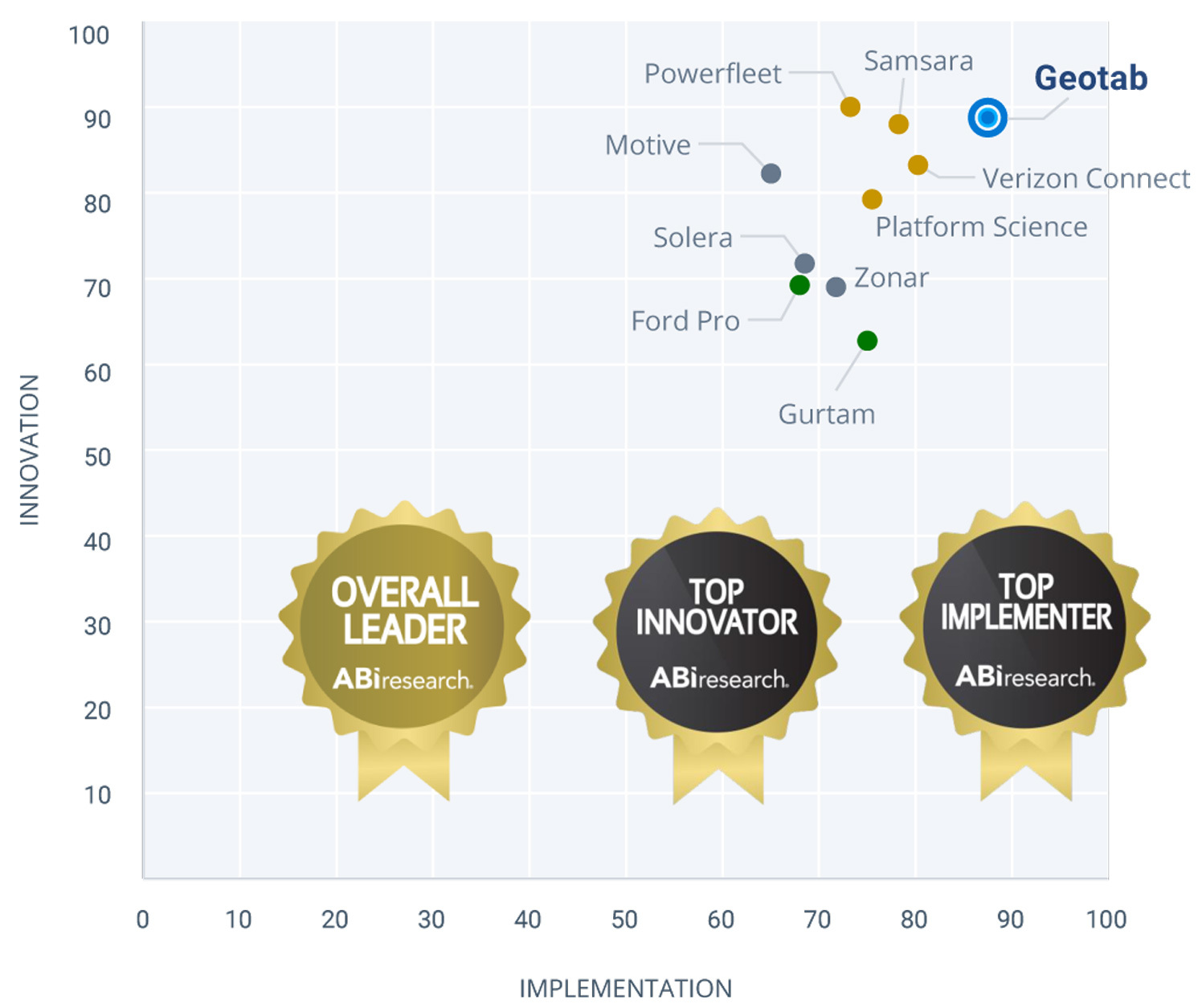
We're right there with you, understanding the unique pressures of public service. With 3,000+ public sector customers and over 1 million public sector subscriptions in North America, Geotab is recognized as the #1 telematics vendor by ABI Research. Get the reliability, support and specialized solutions your department needs. As the single-source telematics provider to the GSA Fleet, we bring enterprise-scale experience to your local operations.
Advanced solutions built for government fleets
VisionTrack 360 Cameras
Complete fleet visibility
Protect drivers and vehicles with 360-degree camera coverage, incident reconstruction and real-time monitoring capabilities designed for public works environments.
Rasters.io by NSIM
GIS integration & mapping
Seamlessly integrate fleet data with your existing GIS systems for enhanced route optimization and service verification across all public works operations.

GO Analytics
Advanced data intelligence
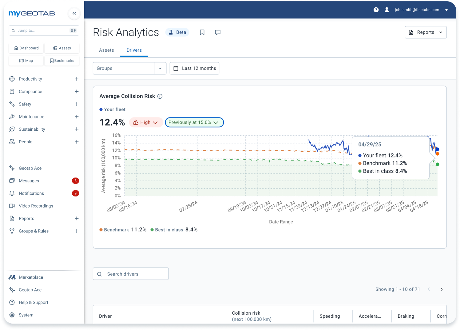
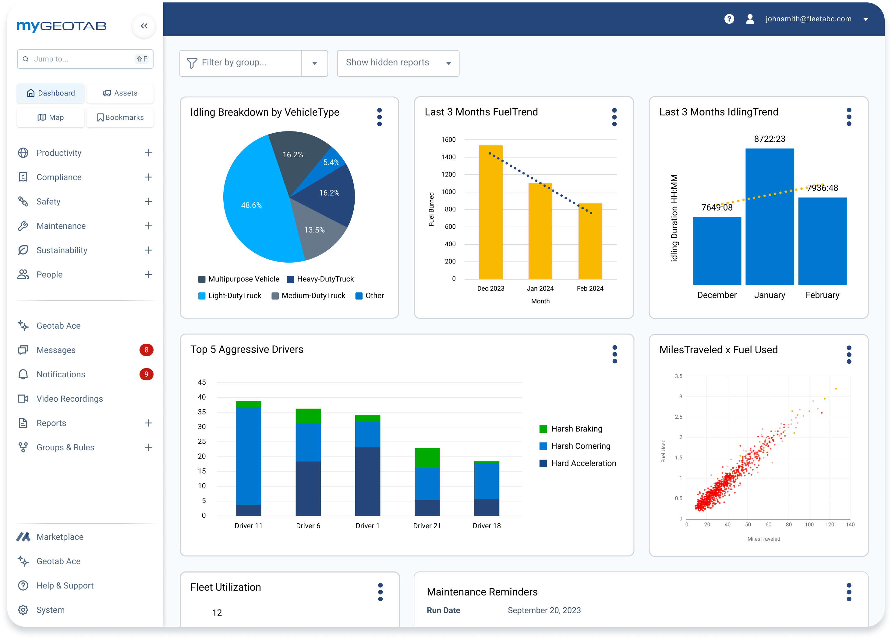
Transform raw fleet data into actionable insights with customizable dashboards and automated reporting tailored for public sector compliance requirements.
Expert resources for Public Works leaders
Commonly asked questions
What is a Public Works fleet management solution?
A Public Works fleet management solution is typically a software platform that integrates various technologies to help government agencies efficiently manage their vehicles and equipment. These solutions are designed to address the specific challenges of public sector fleets, which include diverse asset types, strict budgetary constraints, and a high degree of public accountability.
What are the advantages of using Geotab for Public Works fleet management?
Geotab offers Public Works departments unmatched data depth with second-by-second vehicle and equipment monitoring, specialized solutions like Citizen Insights maps for public transparency, comprehensive proof of service documentation and the ability to manage diverse fleets—from heavy-duty snowplows to light-duty supervisor vehicles—on a single, scalable platform. As the #1-ranked telematics provider serving 3,000+ public sector customers, Geotab delivers enterprise reliability with public sector expertise.
How can Geotab provide verifiable proof of service?
Geotab captures rich, real-time data directly from vehicle engines and integrates with specialized equipment sensors and controllers, such as sweeper brooms, plow blades and material spreaders. This provides time-stamped, GPS-verified evidence of service completion, route coverage and equipment operation that can definitively prove work was performed at specific locations and times, protecting departments from false claims and building public trust.
How can Geotab's fleet software help your Public Works fleet?
Geotab's Public Works fleet management software helps departments transition from reactive to proactive operations through real-time vehicle diagnostics, automated maintenance scheduling, optimized routing, material usage tracking and comprehensive reporting. The platform reduces operational costs, improves asset utilization, enhances driver safety, supports regulatory compliance and provides the data needed to justify budget requests and defend against liability claims.
What are the benefits of choosing Geotab?
Choosing Geotab for your public works management software needs delivers multiple benefits: proven ROI with documented cost savings, reduced liability exposure, improved public transparency, enhanced operational efficiency, better asset longevity through predictive maintenance and the confidence of partnering with the industry's most trusted telematics provider. With specialized public sector solutions and unparalleled customer support, Geotab transforms fleet data into operational excellence.
