An overview of geofencing and routing in MyGeotab
Combine geofencing (zones) with exception reporting for greater insight into fleet activities and driver behavior. Read about real-world examples.
By Geotab Team
Dec 7, 2021

A geofence is a virtual perimeter or a fence around a geographical real-world area of interest. With geofencing, users are able to draw virtual perimeters around places of work, customers’ sites, airports, gas stations, entire states, homes, and more. It can also be a critical component for analyzing fleet behavior when combined with exception reporting and notifications. There are several benefits that can be gained through making use of geofencing, some of which include:
- Establishing driver accountability
- Increasing productivity
- Tracking high value assets
Geofencing within MyGeotab
In the MyGeotab fleet management software, geofences are known as zones and the software provides simple tools for the user to create them. A large number of zones can be created by importing a bulk list of latitude and longitude information prepared through a spreadsheet application, or by defining the boundaries of the zone through the map.
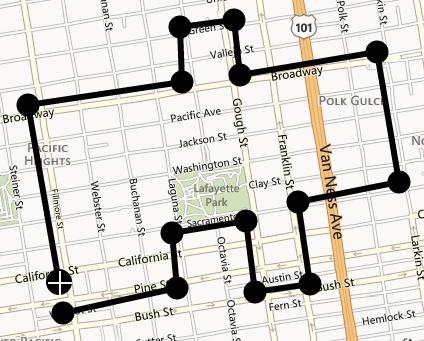
Figure 1: Example of creating a zone on the map within MyGeotab
A unique aspect of MyGeotab is that it allows for zones to be combined with exception reporting. As a result, the zone-based exceptions generated by drivers can provide information about which zones the drivers were nearby throughout their day and the duration spent around these zones. This allows for the following potential scenarios:
- Send an email when drivers arrive or leave a certain zone
- Sound an in-vehicle alert to a driver who has left a certain zone early
- Notify a shipping department on when a delivery truck is about to arrive
- Notify managers if a driver has entered a no-go zone or if a driver is spending too much time in a certain zone
- Special cases of zone use with MyGeotab
Exception reporting in MyGeotab is normally used to report when a vehicle is breaking a rule and may typically not be related to zones. The fact that the MyGeotab software is able to combine regular exception reporting with zones allows for some uniquely useful scenarios.
Example 1:
An oil and gas company in Australia typically has to send their fleets to the outskirts of town to work on their projects. Most of the places where these fleets need to go are off-roads and may not have speed limits. What this company has done with MyGeotab is create speed limit zones in these areas so that the fleet manager gets notified if the driver is surpassing a certain speed. This allows fleet managers to create their own custom speed limits and to help ensure the safety of the drivers.
Example 2:
A taxi company in Nova Scotia has combined the use of zones with auxiliaries. The company has attached auxiliaries to the taxi fare meters so that they are able to receive reports through MyGeotab whenever the fare meters are in use. In addition, the taxi company has placed different zones in the area where the taxi company operates. As a result, the company is able to receive reports on what areas their taxis are picking up customers and they are able to gain useful insight into where to allocate their taxis.
Routing within MyGeotab
MyGeotab allows for the option to create routes based on zone locations. Some of the benefits that result from routing include reduced fuel consumption, mileage, CO2 emissions, and increased organization operational efficiencies. Users can create a zone in the software by connecting a sequence of zones together to create a path. The routes can be defined in any order the user wishes, and can alternatively begin and end at the same zone. Further to this, MyGeotab offers users the option to optimize the order of zones in which the driver should visit once the route has been created in an effort to minimize fuel consumption. Routing is especially useful for fleets that consist of school buses, for example, where these vehicles have predefined locations to visit every day.
Additional Resources
The MyGeotab getting started guide provides a wealth of information for users to get started on zone and route creation. The guide provides details on how to utilize zones and routes with reporting options for users to get the most value out of these features.
We want to hear how you use zones, or if you have any questions. Please leave us a comment below, or tag us in your social media message.
Subscribe to get industry tips and insights
The Geotab Team write about company news.
Subscribe to get industry tips and insights
Related posts
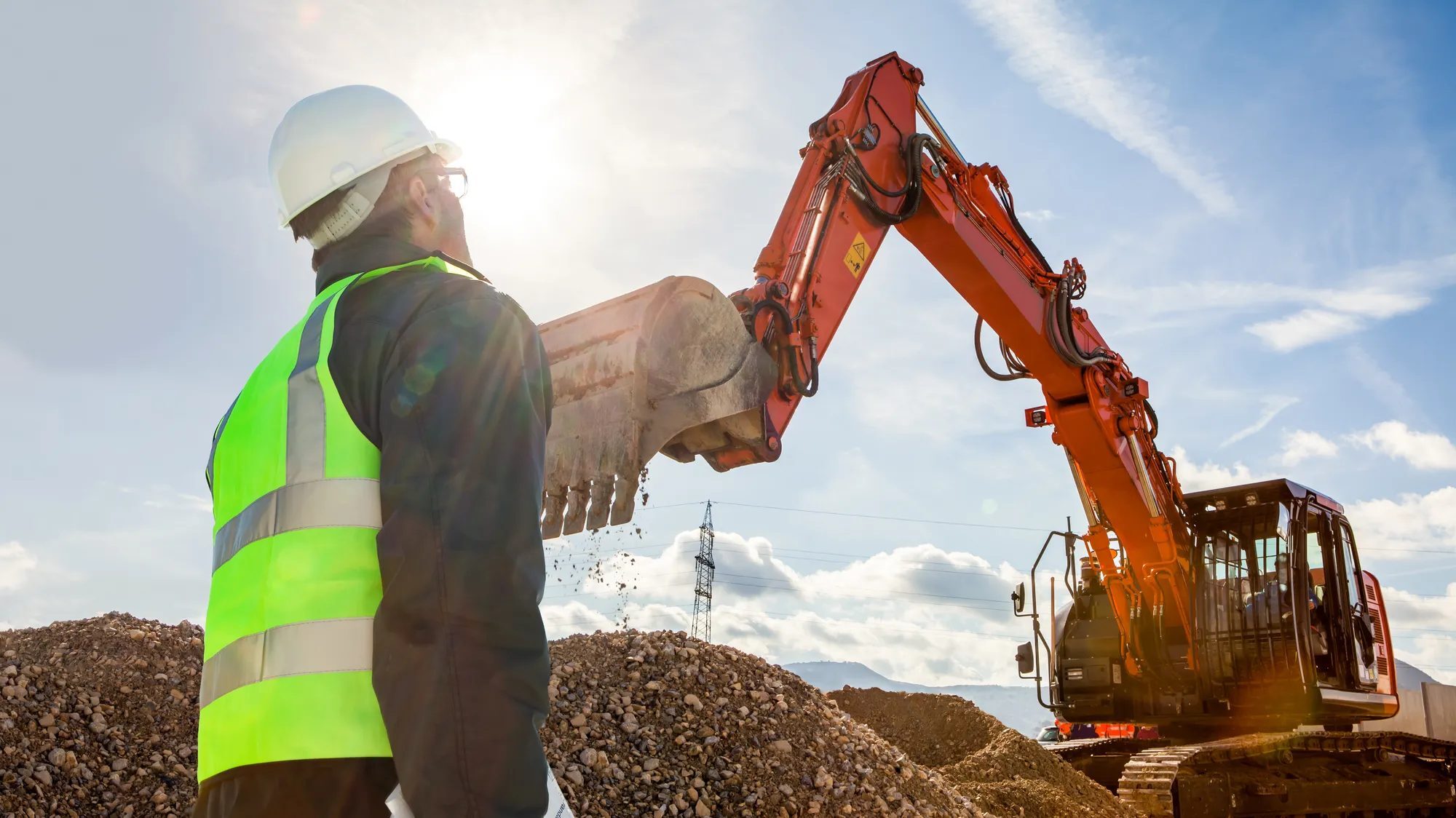
Construction fleet management software: What mixed fleets should look for
July 29, 2026
5 minute read

From video archives to active prevention: The case for AI dash cams
July 22, 2026
4 minute read

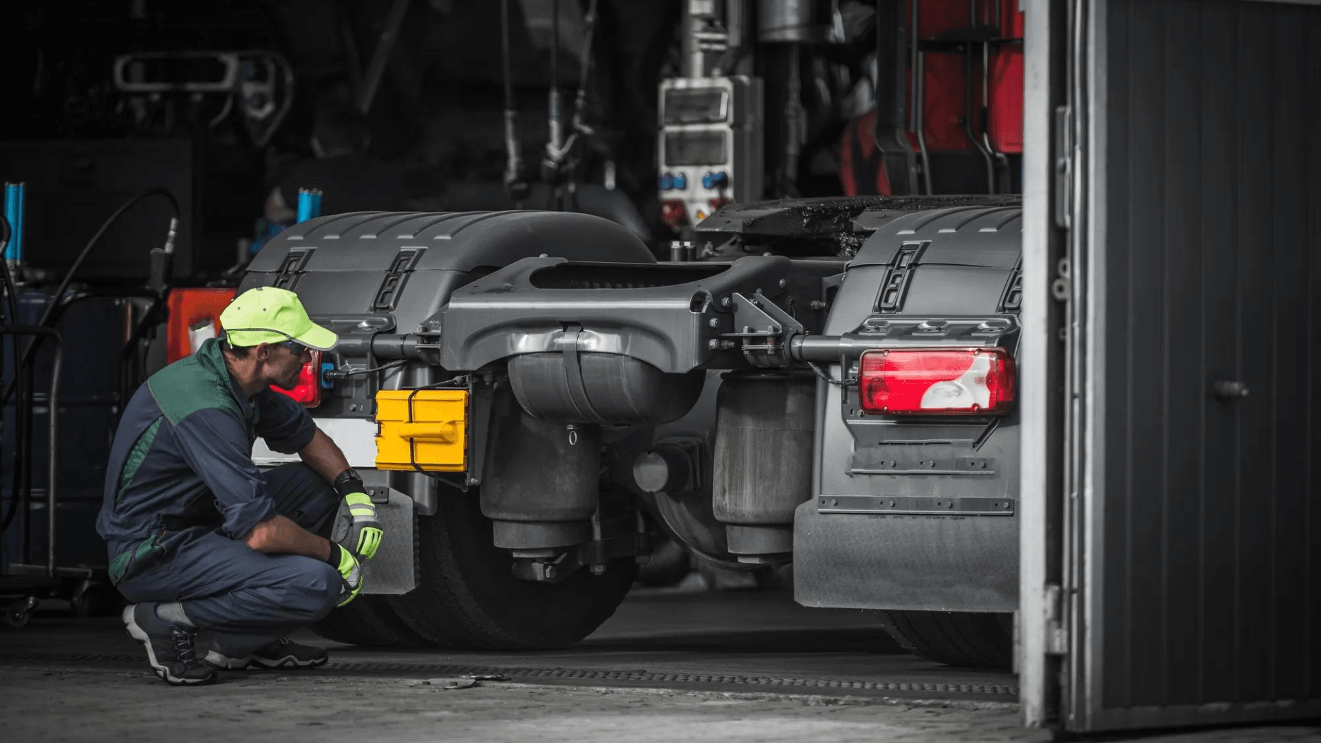
Why maintenance scheduling for fleet assets requires more than a calendar
May 7, 2026
5 minute read
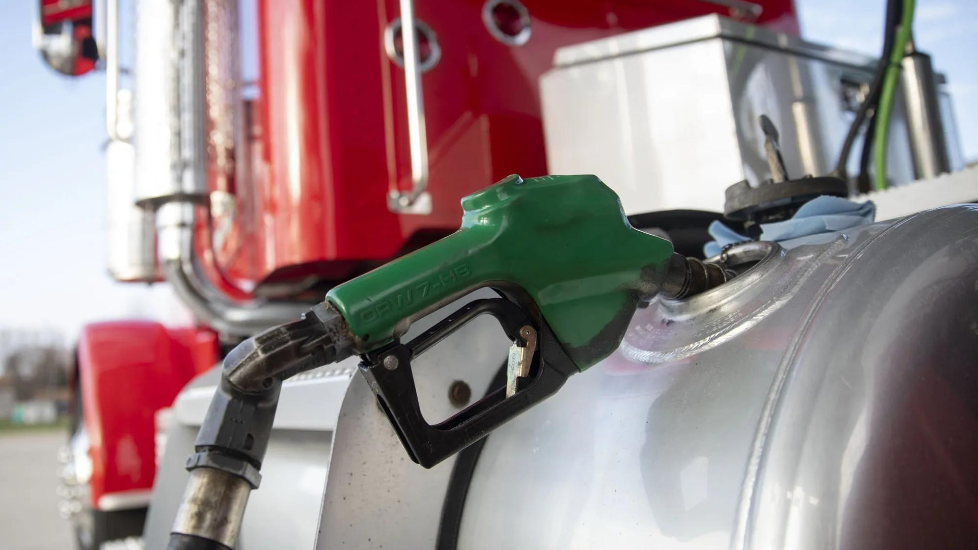
How fuel transaction controls help fleets manage costs in a volatile market
April 28, 2026
3 minute read

The 'ghost fleet' crisis: Why idle rental cars are your biggest liability
April 27, 2026
4 minute read