British Antarctic Survey: Pushing the boundaries of scientific exploration
Telematics technology developed in Canada will help improve deep field safety of the BAS team in the South Pole.
Published: Feb 16, 2022
Updated: Aug 31, 2022

The British Antarctic Survey (BAS) is an interdisciplinary research organization with stations in polar regions across the globe. The British Antarctic Survey is one of the world’s most respected polar science organizations and has helped to shed light on important issues surrounding climate change since its founding in 1962.
The goals of the organization’s Antarctic operations are to:
- Provide education on the effects of climate change in the polar regions
- Help governments and businesses form sustainability policies
In the Antarctic, all of this is done with mixed fleets of snowmobiles, snow groomers and tractors in sub-zero temperatures, on rough terrain and in harsh and unpredictable conditions. In remote areas like the Antarctic, communication is limited, which is why the organization partnered with Geotab to create a custom solution to meet their unique needs.
The Challenge: Managing remote communications
With three stations across the Antarctic and regular field missions that take them away from base for 2-3,000 kilometers at a time, the British Antarctic Survey operational teams face unique challenges not commonly found anywhere else in the world.
Lack of cell service complicates staying connected
In Antarctica, there is no cell service, making it difficult for researchers in the field to stay in touch when they are on the move.
Russell Cockerton, a Senior Automotive Specialist at Geotab who works directly with the BAS to develop solutions for Antarctic operations, explains that: “If they wanted to communicate, they would have to stop at predetermined times during the day, put up an old-fashioned high frequency (HF) antenna for use with an HF radio. From there the team would radio into the base with their location and status.”
“As you can imagine, that was quite frustrating for them,” Cockerton adds. “It’s not very practical in an emergency either.”
Ben Norrish, Head of Vehicle Engineering at British Antarctic Survey, adds that currently, they use the IRIDIUM network for verbal communication as well as HF radio in the Antarctic. But neither gives their operations team a grid location of where they are on a map unless a call is made. Calling in can take several minutes that could be life-threatening in an emergency scenario.
“Having the ability to live track teams on the ice is a huge asset to route planning and safety of the teams with an added benefit of peace of mind to each person on the ice knowing that if they get into trouble, a search and rescue can be deployed fast and accurately to save life,” says Norrish.
Trip tracking
The researchers also needed a way to record stops during each trip. The reasons for stopping could vary from refilling their fuel tanks to setting up camp for the night or even the discovery of dangerous crevassing that could impact the safety of their team when traveling.
This information is vital not only to the safety of the researchers in the field, but also to the environment in which they are traveling. Tracking exactly where they have been, where team members took biological breaks or where they set up camp is an important part of limiting their environmental impact on the region.
The Solution: Building custom solutions
To help BAS more accurately track its teams in Antarctica, Geotab created a customized solution tailored to their unique needs. Cockerton explains that the device initially started out as a Geotab GO device connected to an IRIDIUM Satellite Network Input Output Expander with one switch that acted as a distress beacon. The IRIDIUM device is mounted on the snowmobile, while the GO device is plugged into the machine directly.
“If they’re in trouble, they press the button and it sends a signal through the Geotab GO device. That signal immediately makes the GO device start beeping to tell them help is coming,” says Cockerton. “The signal then goes through MyGeotab via email directly to the station commanders at each of the three stations so that they can initiate communication with the team involved and send whatever help is needed.”
Cockerton adds, “Having those distress beacons is absolutely essential.”
Geotab also worked with BAS to add four additional switches to their on-machine devices. This served to further customize the solution.
The custom BAS devices offer the following trackable features for each switch:
- Red: distress beacon
- White: refueling
- Black: crevasse marking
- Yellow: biological break
- Green: setting up camp
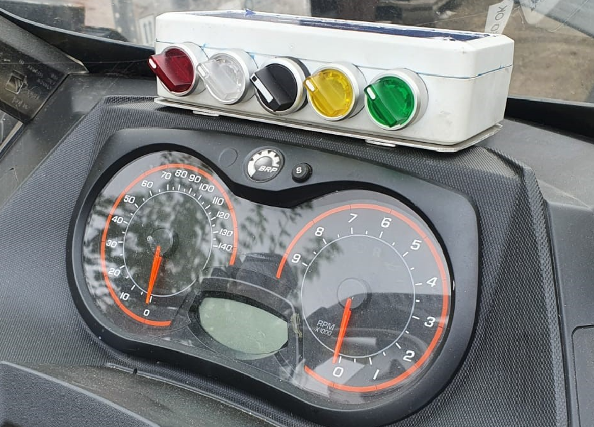
The British Antarctic Survey team’s custom switch box mounted on one of their vehicles.
Building weatherproof devices
In addition to the IRIDIUM switch devices, BAS also uses a Geotab GO device, which is plugged into the machine's on-board computer system. However, due to the extreme temperatures in the Antarctic, the device needed to be sealed beyond the usual measures Geotab takes to protect its devices.
The GO devices needed to be placed in waterproof, dustproof boxes packed with insulation to keep them from freezing in sub-zero temperatures. Cockerton explains that Geotab had to get the devices to operate well below the average temperature a regular GO device can support. Each device takes roughly three hours to build, insulate and seal.
“If they leave their machines in the ice or out in the field, just by the nature of ice, it creeps in. If there's even the tiniest little pinprick hole, you could open up the machine and see it’s literally just filled with a solid block of ice,” Cockerton adds.
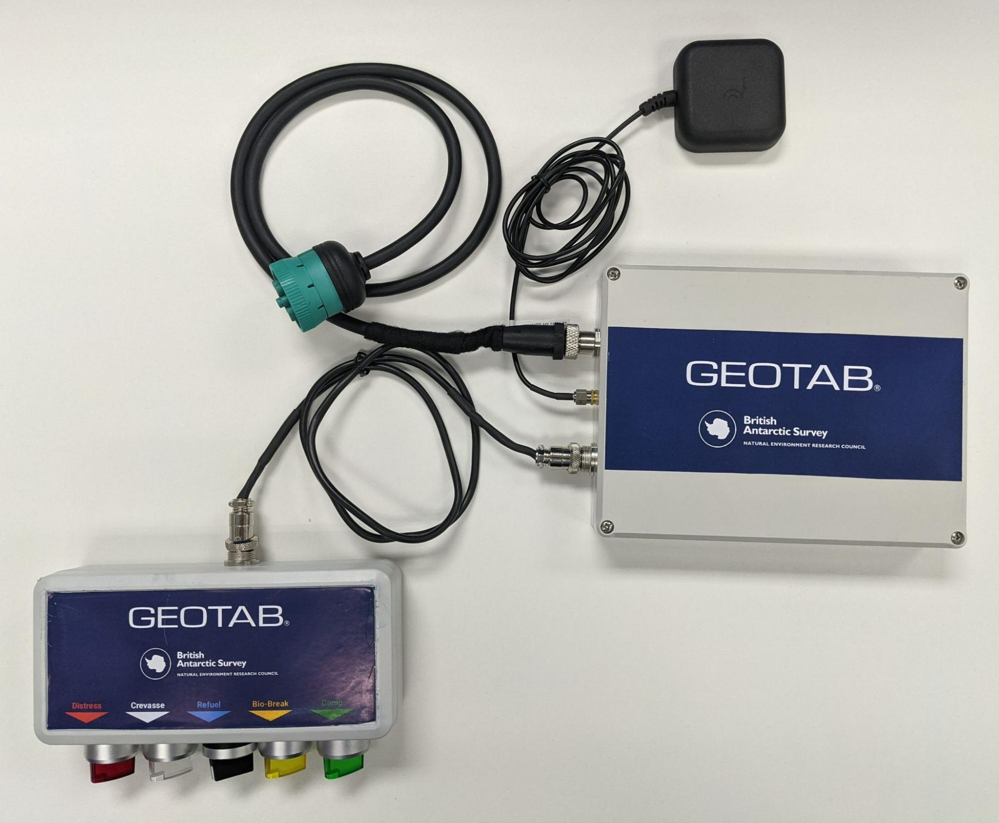
An example of the switch box and Geotab GO device casing used by the British Antarctic Survey team.
The Results: Key improvements in major areas
BAS and Geotab have built a one-of-a-kind partnership that allows for advanced exploration of Antarctica and the environmental benefits that research can offer the world. This partnership has created new and improved operations for the fleet in three key areas:
Increasing team member safety in the field
Using the Geotab API to connect MyGeotab to the British Antarctic Survey’s own mapping system and Geotab’s standard reports, the British Antarctic Survey has been able to fully map out every journey taken by the researchers. They can also pinpoint the time of day, real-time latitude and longitude of each trip and record the stops made.
BAS now has more confidence in the safety of their field teams, knowing that a distress signal can be sent at the flip of a switch if an incident were to occur.
Supporting science and sustainable operations
With environmental science at the core of what they do, the British Antarctic Survey is aware of the effects their work has on the environment. However, with the help of telematics, they are now better equipped to record and monitor this data.
After implementing the custom devices in their fleet, they have been able to tackle issues surrounding fuel efficiency and refill locations to build a more environmentally-friendly operation. The British Antarctic Survey is now able to better plan and monitor their trips to minimize any impact on the environment.
What’s next for the BAS?
In the summer of 2021, Geotab supplied 20 units to the British Antarctic Survey for installation, with plans to expand to all of their machines in the future. The British Antarctic Survey also intends to review the data collected through Geotab devices so far to help map out future excursions and determine route efficiency between BAS and other Antarctic operators.
“They can now see how efficient they are. They can see that they went in a big loop last year, whereas this year, they're going to go more direct,” says Cockerton. “The whole efficiency aspect is going to be interesting to see develop.”
From the Fleet Manager
“It’s our primary goal to make working remotely, deep-field in the Antarctic safer, more efficient and carbon accountable going forward. Using this technology allows us to achieve all three.” — Ben Norrish, Head of Vehicle Engineering at British Antarctic Survey
Table of Contents
Client profile
Client name:
British Antarctic Survey
Industry:
Environmental research
Fleet size:
180
Fleet focus:
Client profile
Client name:
British Antarctic Survey
Industry:
Environmental research
Fleet size:
180
Fleet focus:
Other stories

Swift Ride Eliminates Fleet Theft and Saves Over $400K Annually with Geotab
March 25, 2026
1 minute read
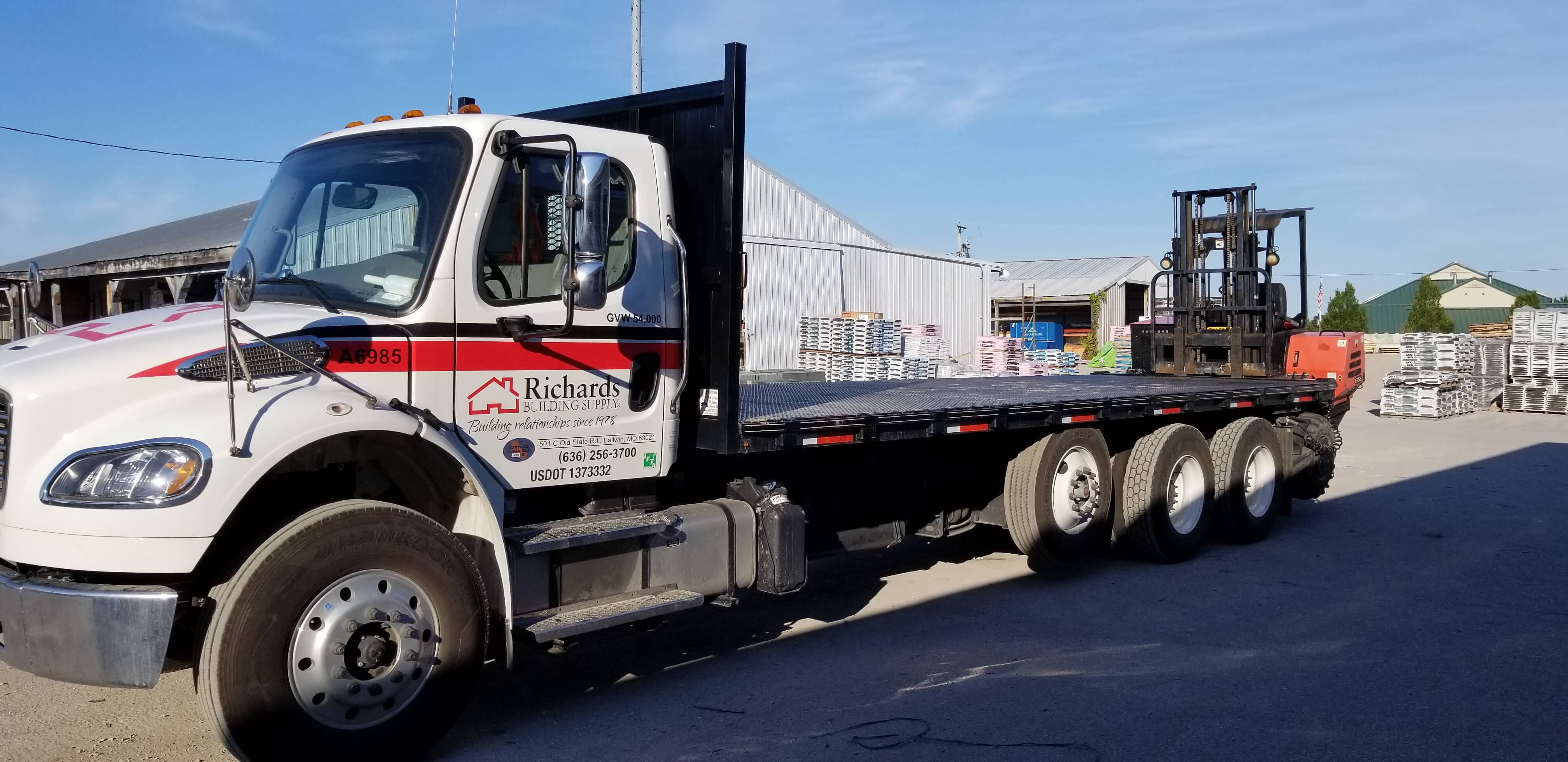
How Richards Building Supply reduced unsafe driving behaviour by 41% with Geotab Vitality
January 28, 2026
4 minute read

Kentucky Transportation Cabinet: Revolutionizing mobile work zone safety
August 6, 2025
6 minute read

How White Cap reduced aggressive driving by 62% and speeding by 97% with Geotab telematics
July 25, 2025
2 minute read