How cities are using telematics to achieve their Vision Zero safety objectives
See how large cities like NYC are using telematics data to boost road safety.

Aug 26, 2024
Vision Zero is an initiative originally conceived in Sweden in 1997, born out of the philosophy that traffic fatalities and serious injuries are not accidents and instead are results of poor road design, management and driving culture. Today dozens of municipal and state governments across North America are adopting Vision Zero fundamentals in efforts to create safer roads and reach the goal of zero traffic fatalities.
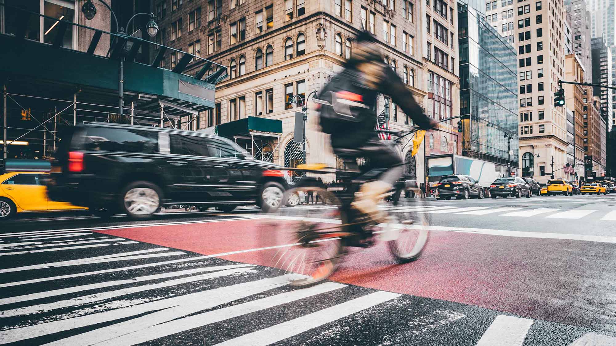
In January of 2014, Mayor Bill de Blasio announced the implementation of the Vision Zero program for New York City. The purpose – to eliminate all traffic fatalities and serious injuries by 2024. An early adopter of using technology to meet Vision Zero objectives, New York City is now demonstrating the culture change and strategies that are necessary to achieve real results in road safety, as well as fleet sustainability, while also showing positive return on investment.
Data is vital to achieving Vision Zero goals
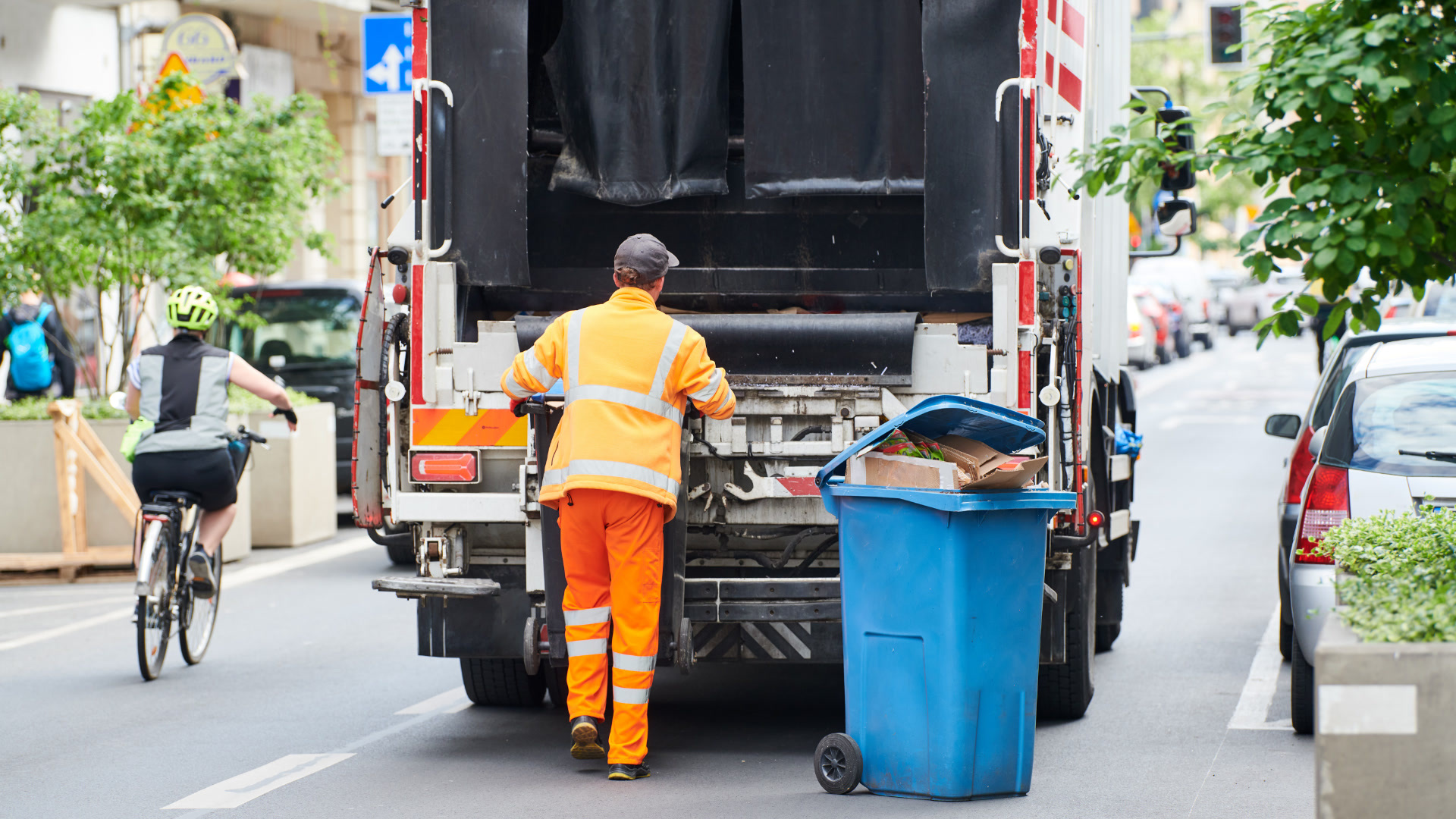
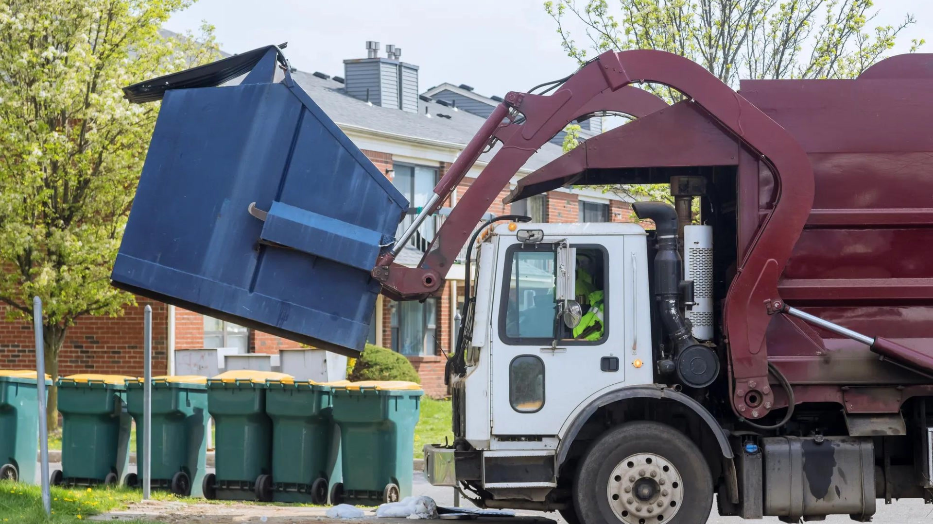
Those managing the world’s largest municipal fleet at the NYC Department of Transportation (DOT) have overwhelmingly recognized that data and analysis is the key to unlocking the desired solutions. To do so, they have installed Geotab’s telematics solution across the fleet, into over 11,000 fleet vehicles from police, fire, parks and recreation, snow removal and sanitation. Telematics has become the preeminent data capture and analytics platform empowering NYC to make informed and strategic decisions to tackle this serious public safety concern.
At the core, telematics can monitor speeds, location, traffic congestion, road conditions, driving behaviors, accidents, vehicle maintenance, environmental conditions, and more – and report it all in real-time. Seeing these types of variables and the accompanying data arms officials to better understand issues through advanced analytics, at the central command center in NYC called the Fleet Office of Real-Time Tracking (FORT).
New York City has used telematics for seven years, but until recently they directed that effort toward increasing fleet efficiencies. Prior to Vision Zero, telematics was used primarily for downstream productivity, such as fuel economy, route optimization, dispatch, location and mapping. Although these are still major utilizations of the technology, they’ve shifted to a more holistic approach to smart transportation for the megacity, backed by telematics, with wider roadway safety strategies being implemented.
For example, NYC fleet has put into action Driver Safety Scorecards. Fleet drivers are scored based on speed vs. indicated limits, seat belt usage, harsh braking, quick acceleration, severe cornering and more. The resulting scorecards can help dictate customized individual training to target and rectify specific problematic driving behaviors.
Taking it a step further, travel data provides the fleet with excellent insights on traffic flow, intersection efficiency and hazardous roads sections or areas. Understanding average road speeds across the city, for instance, can help determine the effectiveness of traffic lights, cameras, enforcement, signage, traffic calming initiatives, road design and more.
Telematics is helping advance road safety in NYC
Some examples of telematics functions being used to boost safety are real-time tire pressure and vehicle maintenance alerts, as well as geofencing, which helps monitor speeding in sensitive areas such as school zones or to ensure fleet vehicles do not park in front of fire hydrants. Telematics data is also helping educate fleet drivers. Alongside the customized training mentioned earlier, the team in NYC has created safety-themed campaigns based on data findings, to help tackle specific problem areas. Example campaigns include: “Following Too Close”, “Buckle Up”, “Turn Cautiously” or “Slow Down – Speed Limit 25.”
Perhaps the most important benefit is the instant collision notification to the command center, so emergency response can be notified quickly to attend to any potential human injury. Utilizing this data to find solutions to decrease these traffic incidents has obvious benefits regarding serious or fatal injuries.
To learn more about how telematics from Geotab can help you achieve your Vision Zero goals, contact government@geotab.com.
Subscribe to get industry tips and insights
Marsilino Bilatos is a Business Development Manager, Public Works and Smart Cities for Geotab.
Table of Contents
Subscribe to get industry tips and insights
Related posts

Crafting a fleet incident management plan that helps your municipality get ahead of claims
July 16, 2026
5 minute read
Best small fleet management software providers and how to choose one for your business
July 16, 2026
8 minute read


How sanitation fleets can prevent return trips and reduce solid waste collection costs
June 15, 2026
3 minute read