World’s longest highways: Australia’s Highway 1
Take a detour and read about Australia’s Highway 1, the world’s second longest highway, which loops around the Australian coast.
By Geotab
Jun 28, 2024
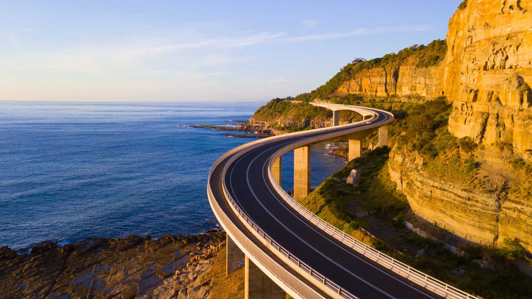
When you think of the world’s longest highways, you likely imagine long stretches of almost-straight road, mile after mile of land dotted by towns and villages, and punctuated by cities big enough to be on a national map. But one of the longest highways is actually a ring road. Australia’s Highway 1, traces around the entire continent, following the Australian coast in a giant loop, with a few exceptions.
Longest highways in the world
The Pan-American is the longest highway in the world. This epic route, first proposed in 1889, runs south to north, or north to south, whichever way you prefer to travel. From Prudhoe Bay, Alaska in the U.S., all the way to the port city of Ushuaia, Argentina in the Tierra del Fuego.
Here are the top five longest highways in the world:
- Pan-American Highway - Total length: 30,000 miles (48,000 km)
- Highway 1, Australia - Total length: 9,009 miles (14,500 km)
- Trans-Siberian Highway - Total length: 6,800 miles (11,000 km)
- Trans-Canada Highway - Total length: 4,860 miles (7,821 km)
- Golden Quadrilateral - Total length: 3,633 miles (5,846 km)
Australia Highway 1— The Big Lap
Australia’s Highway 1, also called the “Big Lap,” has two distinct designations, including the world’s second-longest highway and overall longest national highway. It roughly connects seven of Australia’s eight capitals. The route passes through Sydney, Brisbane, Cairns, Darwin, Broome, Perth, Esperance, Adelaide, Melbourne and also hops across the Bass Strait to Hobart, Tasmania.
Starting with wildflowers
Australia is famous for animal species found nowhere else in the world: 87% of its mammals, 93% of its reptiles, 94% of its frogs, and 45% of its birds are unique to the country/continent. Its plant species are no exception.
Only about 10% of Australia’s population lives in Western Australia, the biggest state in the country, and yet this state has 12,000 wildflower species. Highway 1 travels right through the state.
Along Highway 1 in this part of the country, you’ll find attractions like the Walpole Wilderness Area, Mount Frankland National Park, and the Valley of the Giants Tree Top Walk, where you can see 400-year-old Red Tingle eucalyptus trees.
Heading back to Earth, you can also visit Esperance, a seaside town with about 10,000 inhabitants, which is where NASA's Skylab space scientific station famously crashed to Earth in July 1979, causing a sonic boom and littering the tiny community with debris.
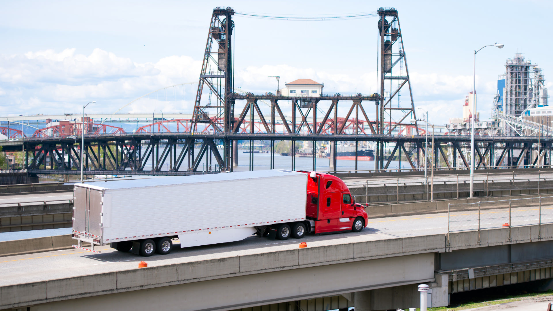
From space stations to road trains
Driving through American plains or Canadian prairies will seem like a blip in time compared to the long stretches of Australia’s famous Outback, which engulfs much of the country. In fact, only 5% of the country’s population lives here, making for a very lonely drive, especially for road train drivers.
Until the 1930s, goods were transported through Australia via camels, which were gradually replaced by motorized caravans. Then Kurt Johannson created “Bertha.” Using a tank retrieval tractor the U.S. Army had left behind after WWII, Johannson built trailers to transport cattle out of his place in Alice Springs, which lay right in the middle of Australia.
Road trains are more than just articulated trailers hooked up to one another and finally to a powerful tractor. The trailers are actually connected via converter dollies, which add extra axles to the rig. Various configurations are possible, but the end result is a giant: A road train with four trailers can run 175.5 ft (53.5 m) long.
As trucking business increases, the Australian transport industry is concerned with improving road safety and combating driver fatigue. Australia’s Heavy Vehicle National Law (HVNL) is currently under review, including fatigue management and rest stop provisions.
Finishing the Circle
Highway 1 connects all Australian states except for Brisbane and Darwin, and more than 1 million people use it every day. Whether it’s for transporting goods, commuting or exploring, Australia’s Highway 1 is the never-ending circle of travel possibilities.
Stay on your detour. Here are some more fun reads:
Busiest Highways in America: I-90
Subscribe to get industry tips and insights
Geotab team
Table of Contents
Subscribe to get industry tips and insights
Related posts

Construction fleet management software: What mixed fleets should look for
July 29, 2026
5 minute read
Beyond consumer apps: 5 ways integrated navigation protects your fleet
July 23, 2026
6 minute read

The safest mile in field service is the one nobody drives
July 22, 2026
2 minute read


Crafting a fleet incident management plan that helps your municipality get ahead of claims
July 16, 2026
5 minute read
.jpg)
Marketplace Spotlight: Redefining Fleet Security with Matrix iQ
July 15, 2026
2 minute read