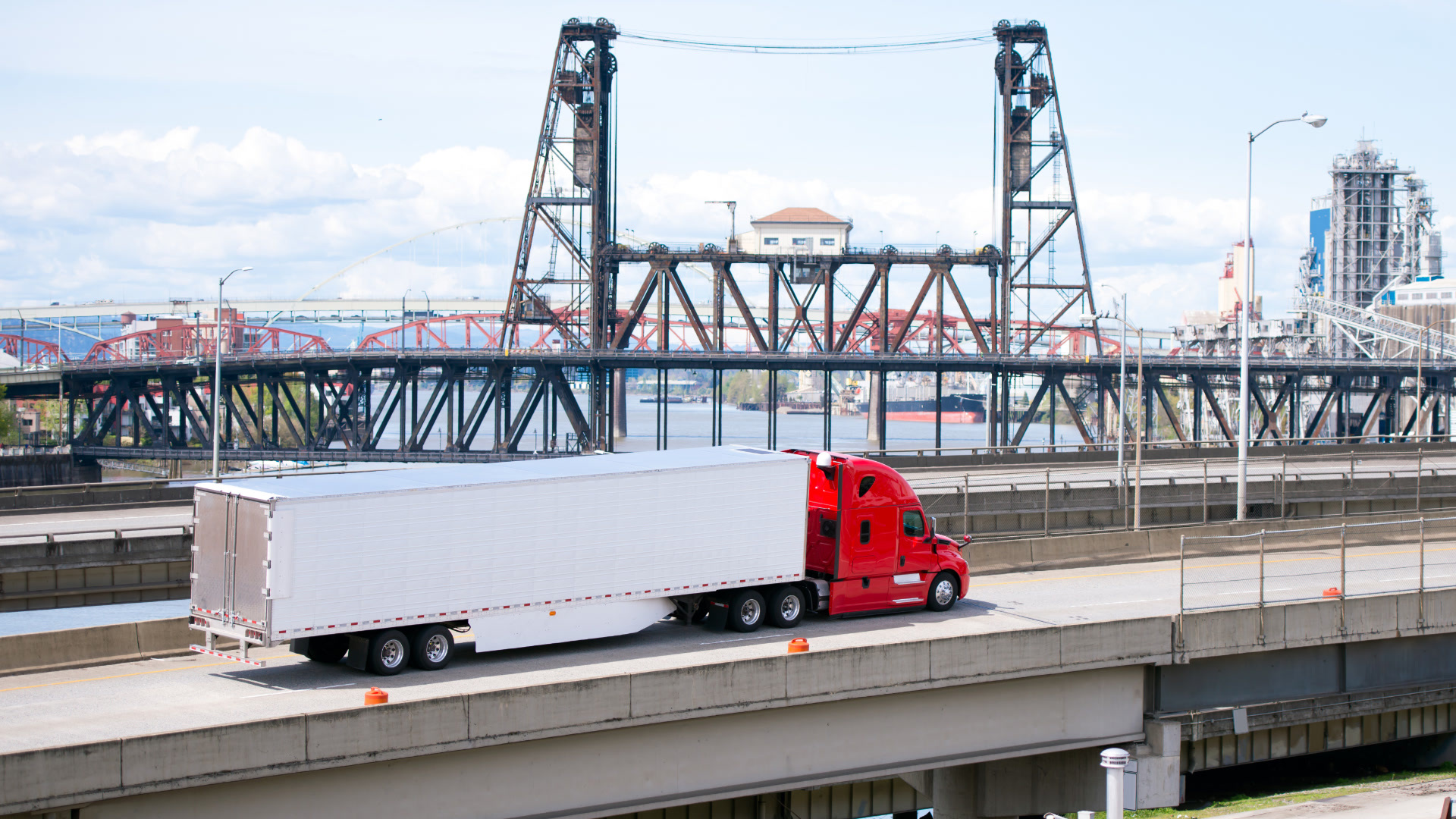
How weather delays can affect your supply chain
For supply chain and logistics companies, the cost of not accounting for future weather delays is high, both financially and logistically.

Oct 2, 2025

Freight delays have a massive impact on the entire supply chain — they spike operating costs, force overtime pay, decrease productivity and most importantly, leave customers dissatisfied and reluctant to work with you again.
According to the Federal Highway Administration (FHWA), weather is responsible for 23% of all roadway delays, causing over 32 billion lost vehicle hours per year and costing trucking companies between $2.2 and $3.5 billion dollars.
The hidden cost of weather inaction
Unexpected delays in transit and late deliveries due to weather events can result in:
- Disruptions to work shifts and hours of unloading personnel
- Time and temperature-sensitive products spoiling
- Additional fuel, oil and truck operational costs
- Extra in-transit inventory holding costs
- Interrupted work flows at unloading bays
- A disturbed production schedule and lower overall productivity
- Late fees and lost customer retention
An Urban Mobility Report from The Texas Transportation Institute (TTI) estimated that the Tampa Bay area had an annual truck delay of 3,223,00 hours in 2011, costing the industry roughly $246 million. Weather alone caused 23% of those delays, costing $56.6 million.
Food transportation facts show that even short delays in temperature-sensitive shipments can result in significant spoilage, loss of product value, and increased food waste.
The same report estimated that in the year 2000, the operational cost of delays alone was about $70 per hour for the southern United States, which would translate to roughly $100 per hour today.
See also: The impact of hurricanes on supply chain and transportation
A study done by researchers at Texas A&M and the University of Wisconsin showed that delays to shippers cost $34 per hour in the year 2000, which would translate to about $50 per hour today. The study also noted that these costs can fluctuate significantly based on the type of product being shipped.
A 2010 risk evaluation report on J.B. Hunt, one of the largest trucking carriers in the world, identified adverse weather conditions as the only “pure risk” of their 18 total “major risks.”
A pure risk in this case is a variable that cannot be controlled and leads to unpredictable losses each year. The evaluation highlighted major financial losses in both physical assets and productivity. $26 million was attributed to weather-related trucking collisions, and a “significant amount of lost productivity.
Proactive action requires more than real-time data
In order to avoid collisions and delays, supply chain and trucking logistics companies need proactive knowledge about when and where they are likely to occur.
Though consumer and business-facing routing tools provide real-time estimated time of arrival (ETA) information, they do not account for weather-related delays outside of real-time.
.png)
Over the last decade, there has been a huge movement towards total end-to-end supply chain visibility in order to improve ETA accuracy and cut down on delays. Freight visibility platforms like FourKites and Project44 are two of the most prominent companies shining light on nuances in the supply chain process in order to produce the most accurate predictive ETAs.
According to a recent Project44 report, 70% of consumers want the ability to track progress of shipments and 47% want an accurate delivery time estimate.
Calculating the ETA of a single shipment is complicated, with hundreds of moving pieces to account for between the shipper, supplier and carrier. The time it takes for a commercial truck to drive from Point A to Point B can fluctuate significantly based on real-time traffic, hours driven, time of day, operational inputs and more.
Despite new cutting-edge technologies, the supply chain industry has been slow to incorporate predictive weather data into their Transportation Management Systems (TMS). However, different weather types in different parts of the country affect the movement of goods. It also affects how weather impact can be applied to thousands of future and ongoing routes.
A recent IBM study showed that 45% of technical executives have difficulty translating weather data into useful insights and 50% have difficulty using weather data to automate decisions.
Even accurate weather data has proven to be difficult to adapt for supply chain and logistics companies. Knowing there is a 70% chance of snow in 3 days is less actionable than knowing how much time will be added to a 4-day route shipped with a 5-axle truck going from New Orleans to Seattle.
The same study highlighted a number of other reasons supply chain executives might shy away from integrating weather data:
- 67% of business executives are uncertain how weather data creates value
- 58% of business executives have difficulty integrating weather data into existing operational processes
- 56% of executives are uncertain how weather data impacts decision-making
A weather solution built for supply chain and TMS
In August 2020, WeatherOptics launched RightRoute, the first ever weather-adjusted ETA API for the supply chain and logistics industry. After working alongside a global telematics provider and other industry leaders, WeatherOptics developed a solution that can accurately adjust the ETA of a shipment based on future weather conditions, location-specific impact and vehicle attributes.
RightRoute is built to bridge the barrier between weather data and transportation impact because it provides clear insights that are easy to ingest into existing software to improve ETAs and overall visibility.
.png)
.png)
To return a weather-adjusted ETA, all RightRoute needs is the origin, destination and time of departure. The output includes expected speed reduction of the shipment for different routing options, flagged routes that are at high risk of seeing collisions or road closures and individual instances of slowdowns along the way.
.png)
.png)
Key features of RightRoute
- Weather-adjusted ETAs with the actual percentage slowdown from normal due to current and future weather conditions
- Ability to integrate with any existing non-weather adjusted ETA, TMS or route provider to improve transit time accuracy and overall visibility
- Detailed overview of expected weather along routes, including when extreme weather is likely to cause collisions and road closures
- Ability to account for specific vehicle attributes such as vehicle weight, length and load-type
By leveraging and integrating RightRoute into an existing TMS, you could see improvements from day one.
Benefits of having weather-adjusted ETAs
- Improve visibility and delivery window accuracy with multiple day’s notice on potential shipment disruptions
- Increase driver safety and accident prevention. Accidents cost between $20 and $40 million per year on average.
- Maximize efficiency when delays are expected with proactive changes in workforce, less overtime pay,and reduced operating costs.
- Route optimization to compare lanes rates and shipment costs by more accurately accounting for total trip time and length.
- Optimize inventory at all times by appropriately stocking before inclement weather.
- Increase customer retention with transparency about potential delays or avoiding them altogether.
Conclusion
As demand for faster deliveries increases, so will technology that addresses potential disruption.
Though weather can be unpredictable, it does not have to be unmanageable. We now have the tools to ensure supply chain and logistics companies can be proactive instead of reactive when it comes to disruptive weather.
Subscribe to get industry tips and insights
WeatherOptics is a weather intelligence platform focused specifically on supply chain, logistics and trucking.
Table of Contents
Subscribe to get industry tips and insights
Related posts

Construction fleet management software: What mixed fleets should look for
July 29, 2026
5 minute read

Beyond consumer apps: 5 ways integrated navigation protects your fleet
July 23, 2026
6 minute read

From video archives to active prevention: The case for AI dash cams
July 22, 2026
4 minute read


Crafting a fleet incident management plan that helps your municipality get ahead of claims
July 16, 2026
5 minute read