Third party integration in your telematics solution
The Geotab platform integrates with a diverse set of third party devices. Read about some popular applications including Garmin, Iridium Satellite, and HOS.
By Geotab
Dec 22, 2023
The Geotab telematics platform integrates with a diverse set of third party devices. Some of the most popular applications include:
- Delivering notifications to drivers through the use of a Garmin.
- Iridium Satellite for maintaining connectivity when traveling out of cell coverage.
- Hours of Service for logging how long your drivers have been on the road to help keep them safe.
The IOX platform was developed as a modular solution to the integration problem. The platform allows for versatile product support while keeping individual costs low. The Third Party Protocol was designed to facilitate the integration of external devices. By utilizing the IOX platform and the Third Party Protocol, beginning the integration process is easy.
See also: The power of PTO connections in telematics
Step 1: Request an external device ID
We need to know who we are talking to. Contact Geotab to obtain a unique External Device ID for your product. When we see your device we will save a record to indicate it was found.
Step 2: Request status data IDs
It is always beneficial to know what data you are sending and how it is formatted. You can apply a different conversion factor and offset for each type of data. Request a distinct ID for each type of status data you wish to send.
Step 3: Implement the third party protocol
We need to speak the same language. The Third Party Protocol attempts to link up with the connected device and expects messages to be structured in a specific way. A checksum is included to help ensure integrity of the data during the transmission process.
Step 4: Use the data
Once we have the data, what can we do with it? Take a look at the Software Development Kit (SDK). Using this powerful tool you can create custom reports, new applications, or integrate the data into your own systems.
Could integrating your device with Geotab add value to your products and expand the capabilities of your solution? Contact Geotab to learn more or review the External Device Integration guide to get started.
Subscribe to get industry tips and insights
Geotab team
Table of Contents
Subscribe to get industry tips and insights
Related posts
.jpg)
Marketplace Spotlight: Redefining Fleet Security with Matrix iQ
July 15, 2026
2 minute read

AI readiness checklist for field service fleets: Is your data ready for AI?
July 6, 2026
1 minute read


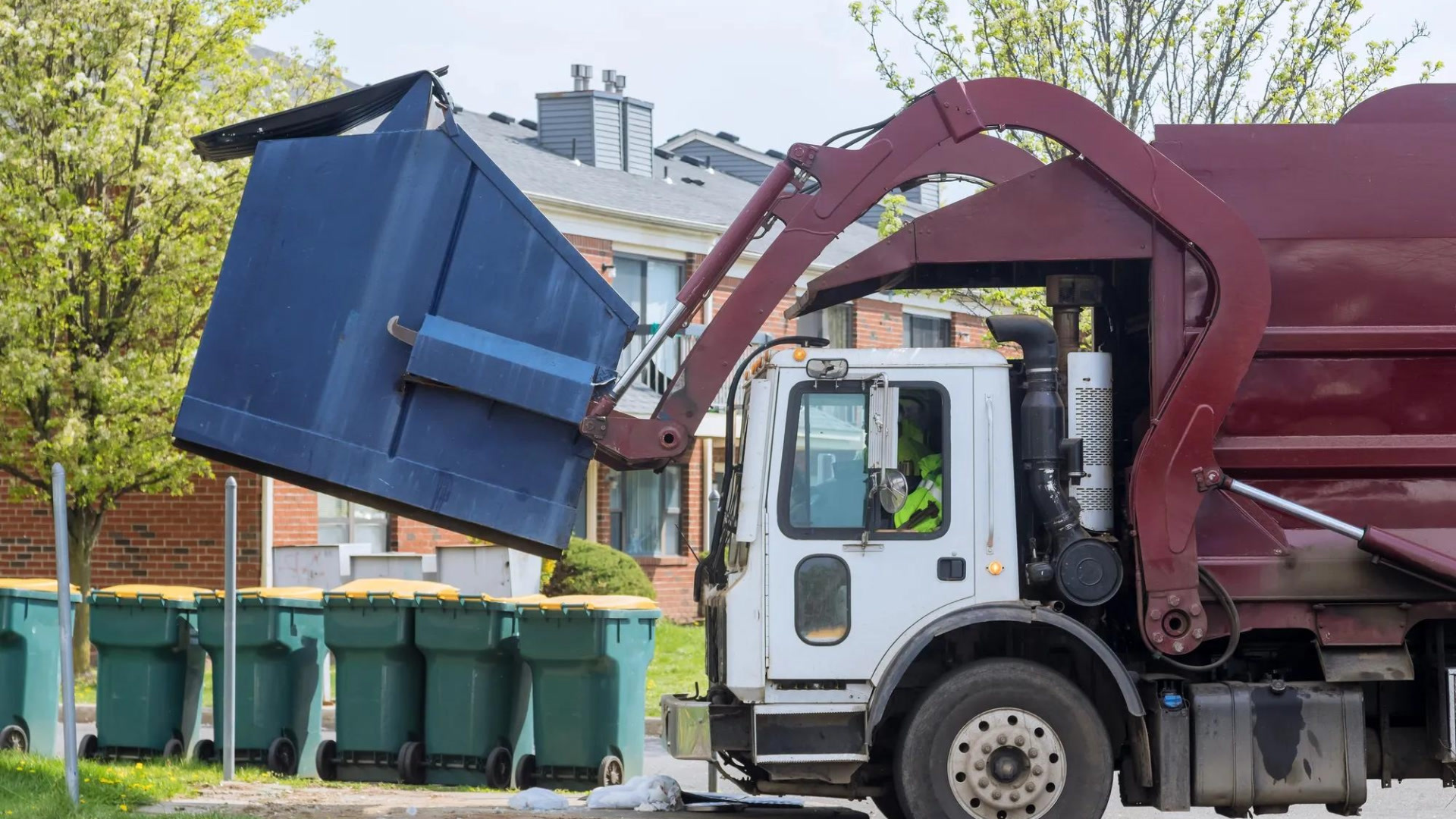
How sanitation fleets can prevent return trips and reduce solid waste collection costs
June 15, 2026
3 minute read
.jpg)
Trailer telematics: How fleets track and manage trailers in real time
June 2, 2026
4 minute read