Top 5 reasons to choose the Geotab GO9 RUGGED
Conquer any terrain with Geotab! Learn how the GO9 RUGGED can optimize performance, enhance safety and boost your bottom line – no matter how tough the conditions.

By Jason Widla
Mar 10, 2025
Updated: Mar 17, 2025

Key Insights
- The Geotab GO9 RUGGED is a durable telematics device designed to withstand harsh conditions like dust, dirt, water and vibrations. It provides advanced heavy equipment tracking and insights for various assets and equipment, making it ideal for industries like construction, mining and agriculture.
- Beyond typical vehicles, the GO9 RUGGED can track heavy machinery, trailers, and off-road vehicles, providing a unified platform for managing diverse fleets.
Any fleet that operates in harsh conditions will encounter challenges when trying to find technology that can withstand their jobsite. When it comes down to it, most technology isn’t built to withstand extreme weather conditions or unpredictable circumstances — and when it is, it usually comes at the cost of performance.
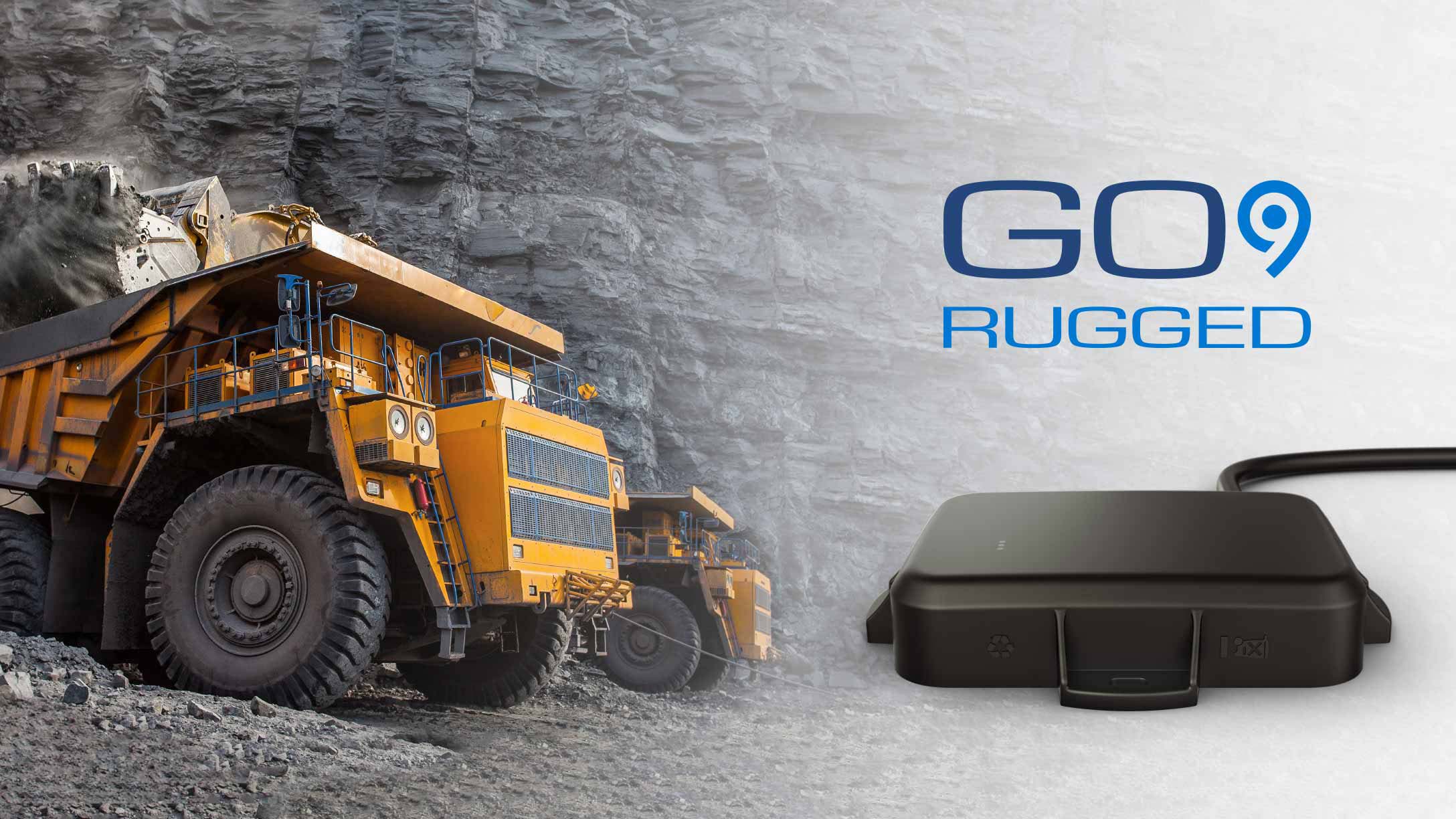
The Geotab GO9 RUGGED device is designed specifically for those who work in industries like construction, mining, oil and gas, agriculture and utilities. It provides all of the tracking technology and data that you need to optimize your fleet without shutting down or becoming unreliable when exposed to the elements. Here are the top five reasons why the GO9 RUGGED stands out as a must-have for your fleet.
1. Built for tough environments
The GO9 RUGGED is designed to thrive in challenging conditions. It has an IP67-rated enclosure, making it dustproof, waterproof and resistant to vibration. Whether your assets operate in muddy worksites, deserts, or areas prone to heavy rain, the GO9 RUGGED offers reliable performance. This rugged durability reduces downtime and, as an added bonus, means less costly device replacements.
2. Advanced asset tracking and insights
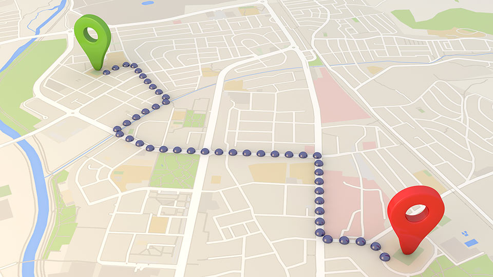
Despite its robust build, the GO9 RUGGED provides the same advanced telematics data as other Geotab GO devices. From GPS tracking for construction equipment and engine diagnostics to driver behavior monitoring, it delivers comprehensive insights to optimize fleet operations. With real-time updates and detailed reports, you can make data-driven decisions to improve efficiency and safety. Connecting your GO9 RUGGED to a telematics platform also helps you access other benefits like tracking idling and fuel use, plus access to engine data and diagnostic trouble codes for maintenance planning, and much more.
3. Versatility across asset types
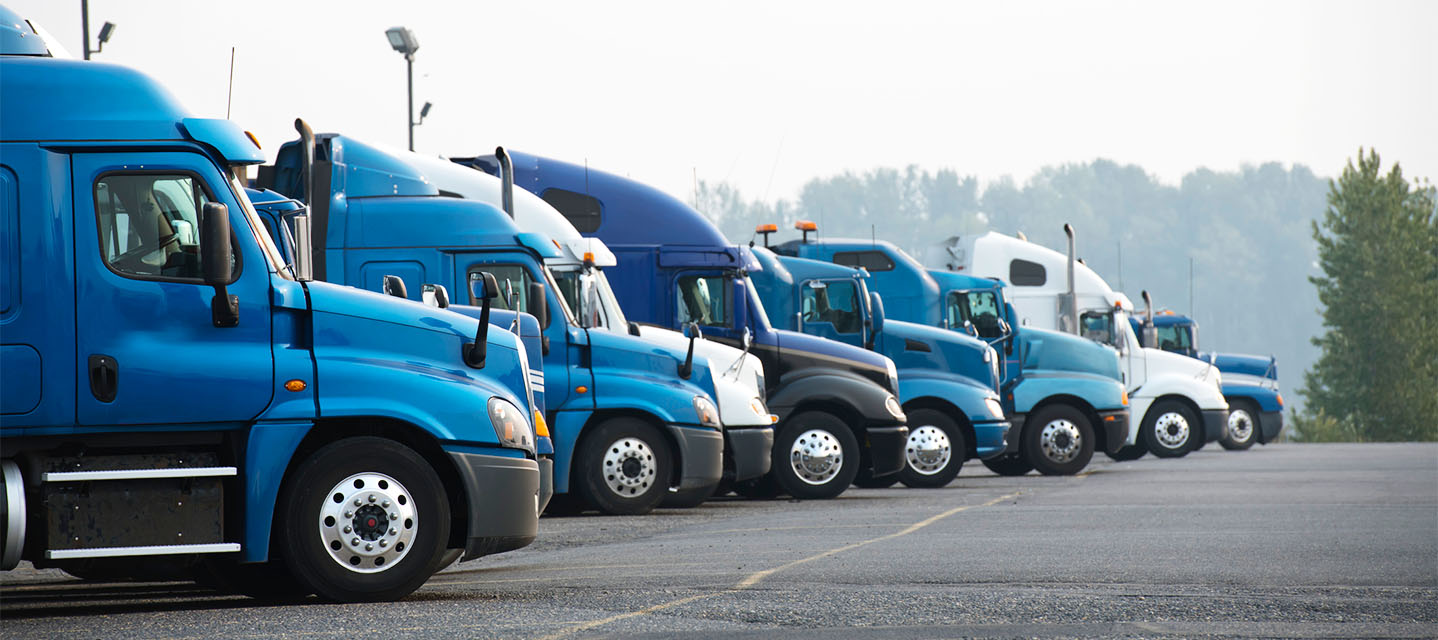
We know you’re dealing with more than just pick-ups on the jobsite — that’s why the GO9 RUGGED isn’t just designed with traditional vehicles in mind. Its durable design makes it perfect for construction equipment tracking as well as trailers and off-road vehicles. This flexibility allows businesses to track and manage diverse fleets with a single, integrated platform.
4. Seamless MyGeotab experience
The GO9 RUGGED works seamlessly with Geotab’s fleet management platform, MyGeotab. Users can access all of their data in one place, set up custom alerts and gain insights tailored to their unique needs. Additionally, it supports third-party integrations, so you can easily connect it to other systems and tools for a more holistic operational view.
5. Enhanced driver and asset safety
In rugged environments, safety is paramount. The GO9 RUGGED’s advanced features, such as real-time location tracking and maintenance reminders, help reduce risks. By monitoring driver behavior, such as harsh braking or speeding, fleet managers can promote safer driving habits and extend the life of their assets. The GO9 RUGGED device can also warn fleet managers in the event of a collision, providing in-depth information that helps with collision reconstruction.
Conclusion
For industries that demand durability, performance and actionable insights, the Geotab GO9 RUGGED is an unbeatable choice. Its robust design, advanced telematics capabilities and seamless experience within MyGeotab make it an essential tool for managing fleets in tough environments. Don’t let harsh conditions hold your operations back — equip your fleet with the Geotab GO9 RUGGED today!
Subscribe to get industry tips and insights

Jason Widla is a Solutions Engineering Manager for Geotab with a primary focus on technical project management and the implementation of external device hardware integrations.
Table of Contents
Subscribe to get industry tips and insights
Related posts


The impact of unproductive idling on police vehicle service life
June 10, 2025
3 minute read

Multi-stop route planners: A fleet manager's guide + best tools in 2025
June 5, 2025
5 minute read

Commercial truck insurance cost: Rates by state + how to save
June 5, 2025
5 minute read

