Data visualization – the new era of business intelligence
Published on January 22, 2016
Executives put new and unique expertise to work in the simplification of Big Data analysis
Toronto, Ontario — January 21, 2016 – Geotab, the go-to leader in telematics with more than 450,000 vehicles in 70 countries on its roster of users, today announced that as of December 31, 2015, the company has acquired one of its most innovative partners: Maps BI. Founded in 2013 under parent company Inovex Inc., Maps BI provides customers with an unparalleled level of enhanced visualization to better assist in the analysis of Big Data. Maps BI executives Mike Branch, CEO, Bob Bradley, CTO, and Bernard Cheng, Lead Developer, officially joined Geotab’s dynamic staff on Jan. 11, 2016.
“My colleagues and I are very excited to be a part of Geotab, with whom we’ve developed a strong and fruitful relationship,” said Branch. “This acquisition marks a new era of business intelligence, especially as Big Data plays a larger and larger role in both the telematics space and beyond. We look forward to providing our expertise in better serving both Geotab’s established and future resellers and customers.”
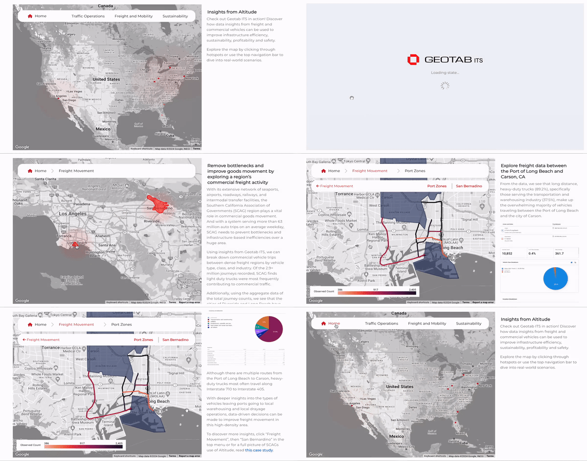
Geotab’s freshly gained expertise in data visualization is a valuable addition to the company’s already detailed and comprehensive telematics solution. With the opportunity to offer such innovations as interactive dashboards and geospatial data visualization, these visual capabilities paired with the MyGeotab software platform will provide customers with an easy spatial understanding of their aggregated data, allowing them to more simply assess resulting analytics and better achieve their respective fleet management goals.
“In order to continually provide our customers with the world’s most sophisticated portfolio of telematics solutions, we at Geotab consistently have our finger on the pulse of innovation,” said Geotab CEO, Neil Cawse. “The business intelligence and visualization expertise we’ve gained will further catapult Geotab into the position of global telematics leader, all the while providing our customers with new tools to further support their pursuit of superior fleet operations.”
About Maps BI
Maps BI is a product offering of Inovex Inc. – a Canadian software firm who for 10 years have developed powerful, salient enterprise web and mobile applications in the energy and healthcare sectors. Inovex brings to Maps BI a wealth of development prowess and deep understanding of reporting and analytics that it has brought to its clientele over the years. Inovex is a trusted vendor in the software realm whose professional services have been engaged to develop wide array of complex solutions ranging from municipal energy management systems to secure healthcare data collection and reporting systems. For more information about Maps BI, please visit www.mapsbi.com.
Post Tags
Media Contact
Nicole Riddle
Senior Specialist, Strategic Communications
pr@geotab.com
About Geotab
Geotab, the global leader in connected vehicle and asset solutions, leverages advanced data analytics and AI to enhance fleet performance, safety, and sustainability while optimizing costs. Backed by a team of industry leading data scientists, engineers and AI experts, we serve over 50,000 customers across 160 countries, processing billions of data points hourly from more than 4 million vehicles. Data security and privacy are at the forefront of all we do—trusted by Fortune 500 organizations and some of the largest public sector fleets in the world, we meet top cybersecurity standards. Geotab’s open platform and diverse Geotab Marketplace offers hundreds of fleet-ready third-party solutions. Learn more at www.geotab.com and follow us on LinkedIn or visit Geotab News and Views.
Related posts

Geotab Unveils Ace - The First Fully Integrated Trusted Generative AI Copilot in the Industry
February 15, 2024

Convenience vs Congestion: How Data is Transforming Last Mile Delivery
January 31, 2024

Vehicle Telematics Leaders Geotab and Webfleet Solutions Join Forces to Launch New Commercial Mobility Recovery Dashboard
May 27, 2020
Recent News

Geotab’s 2025 Predictions: AI Powers Efficient, Safer Fleets
December 12, 2024

Geotab integrates Volvo Cars in its extensive OEM partner network
December 10, 2024

Geotab Emissions Diagnostics Report Receives CARB Clean Truck Check Certification Eliminating Downtime for Compliance Regulations
December 3, 2024

Geotab Fuels Next Generation Workforce and Company Success Through Internships and Co-op Opportunities
November 12, 2024


