Google Cloud Next 2019 recap: Connected vehicles as air quality sensors
View Mike Branch’s presentation from Google Cloud Next ‘19.

By Mike Branch
Vice President, Data and Analytics at Geotab
Aug 21, 2024
Air pollution is a global problem that requires actionable, high-quality data to solve. Geotab addressed this challenge at the Google Cloud Next ’19 conference. We spoke about how connected vehicles, outfitted with Aclima’s environmental sensors and powered by the Google Cloud Platform (GCP), can become hyper-local air quality sensors that dramatically improve a city’s air monitoring power.
View the full presentation to learn more about how Geotab and Aclima use GCP and BigQuery in their solutions.
The limits of traditional air quality monitoring
Traditional air quality monitoring equipment is cumbersome, hard to move, and not always connected to the internet. The limits associated with moving a device means deployment is limited in both scale and scope. San Francisco, for instance, only has one monitoring device for the entire city.
This limitation creates significant gaps in information. Levels of air pollution can be up to eight times higher at opposing ends of a city block. Living in areas of elevated pollution raises the risk of serious medical conditions ranging from severe asthma to heart disease. Poor air quality also restricts workers and costs the global economy $225 billion each year. With these human and economic tolls, stationary instruments spaced miles apart simply do not have what it takes to deliver the data needed to enact change.
This current approach to air quality monitoring results in only generalized information. Pollution hotspots need to be identifiable in order for sources to be traced and treated. Recognizing which regions in a city are most impacted by pollution also allows for the development of targeted mitigation strategies. Accomplishing these goals requires access to hyper-local air quality data to deliver insights that are both meaningful and actionable.
See also: Using Telematics Big Data for Road Safety Analysis
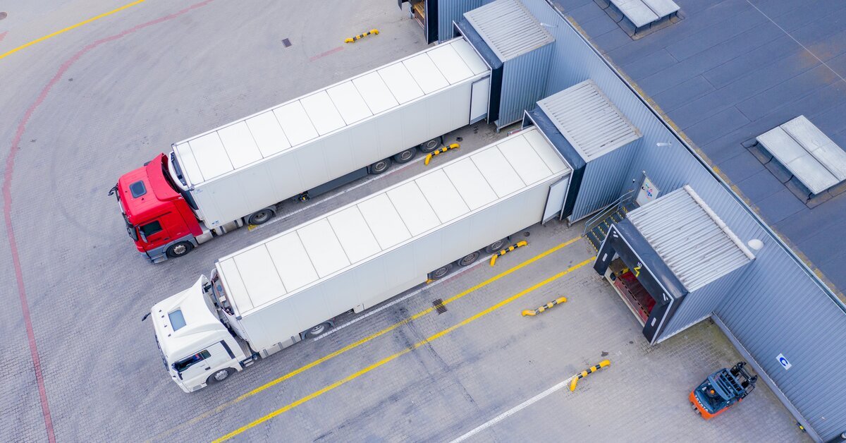
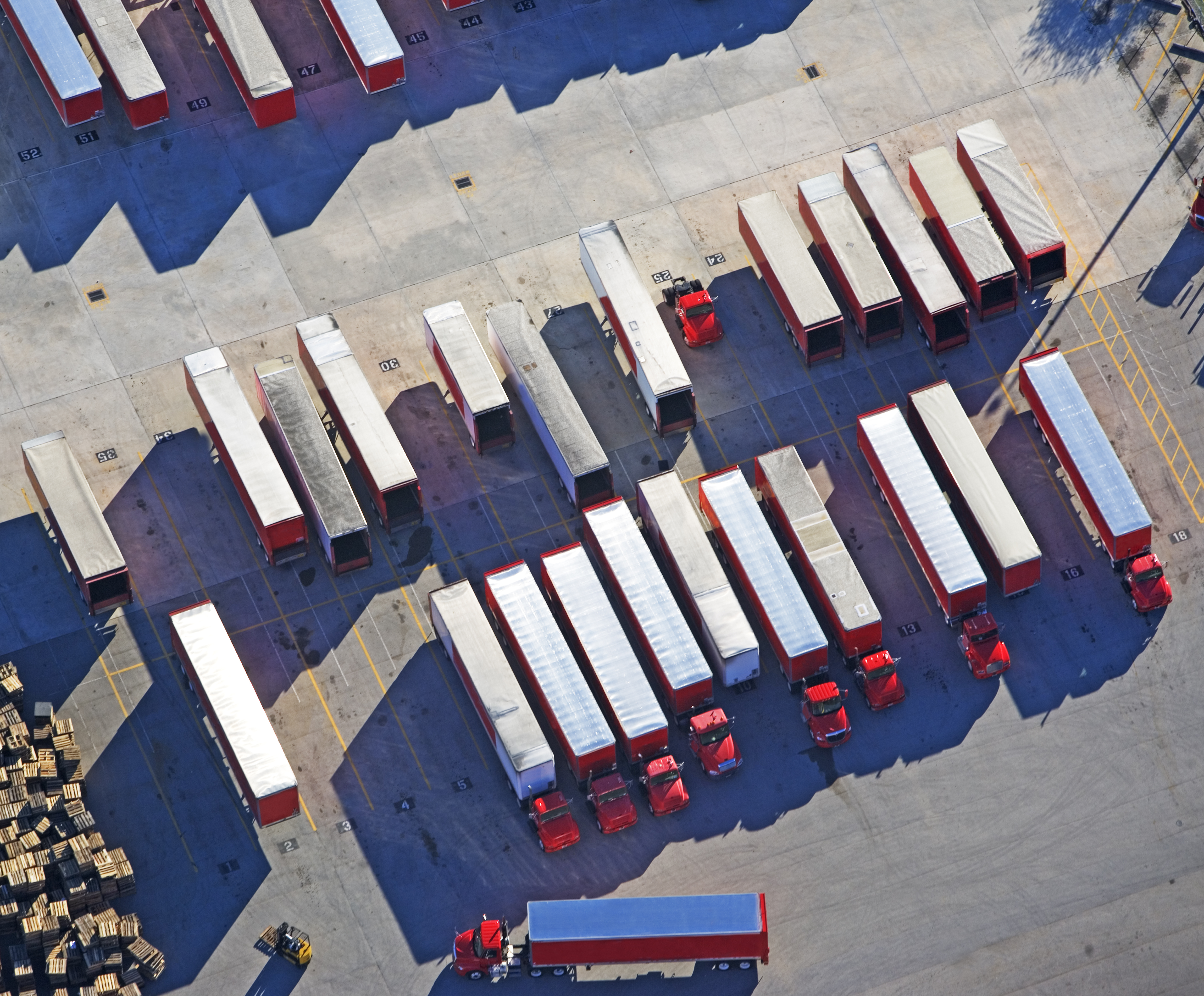
Using vehicles as air quality monitors
Aclima has spent ten years engineering a solution that can be integrated into connected vehicles and turn them into mobile pollution monitors. The challenge is finding out which types of fleets would be able to use the solution in a way that generates the best coverage. This is where Geotab can help.
Geotab has developed a series of machine-learning algorithms that analyze driving patterns and identifies types of fleets and how they move about a given city. Using Washington D.C as a test case, Geotab found that public fleets cover about 70% of the city’s roadways, compared to about 50% coverage from private fleets.
However, outfitting every civic vehicle with an air quality sensor would be cost-prohibitive. The next step is to identify the most efficient way to balance the number of equipped vehicles with quality of gathered data.
Creating a coverage map
Each day, Geotab collects over 10 billion data points from GPS alone. This data is processed and aggregated through Google BigQuery, where Geotab’s data science team can create actionable datasets.
These datasets power a tool that processes coverage on a per-vehicle basis. Cities can use this map to identify which 500 ft x 500 ft geohashes are covered by its fleets and how thorough each point of coverage is as well. The map can also be used to identify areas that lack coverage which city officials may want to monitor, such as near schools.
Vehicles can be turned into roving IoT hubs by leveraging the power of GCP and BigQuery. These insights allow fleet managers to make informed, data-driven decisions about how vehicles can be deployed, whether for air quality monitoring or other business purposes.
You can visit data.geotab.com to learn about more ways BigQuery and Geotab data can power municipal Smart City initiatives.
Related:
Geotab recap of Google Cloud Next 2018
Green fleets help fight the war against air pollution
Subscribe to get industry tips and insights
Vice President, Data and Analytics at Geotab
As Geotab’s Vice President of Data and Analytics Mike Branch leads the development for solutions that enable insight from over 5.8 million connected vehicles and 100 billion telematics records that Geotab processes daily.
Table of Contents
Subscribe to get industry tips and insights
Related posts

.jpg)

Driving Through the Deluge: How Rain Affects Traffic Speeds Across Major Cities
March 5, 2026
1 minute read