Boosting safety through big data: NETS 2020 Virtual Conference recap
Discover the top takeaways from a recent fleet safety conference.
By Geotab Team
Jul 26, 2022

Geotab recently participated in the 2020 NETS Virtual Strength In Numbers Conference, an annual event that convenes commercial, government and nonprofit organizations from diverse industries. The purpose of the conference is to share new case studies, research and emerging issues among top fleets today.
NETS Virtual Strength In Numbers Benchmark Conference
Road safety was the conference theme, which was organized by the Network of Employers for Traffic Safety (NETS). Some of the presenters at the conference included Geotab experts who, in partnership with NETS, showed attendees how big data can be used to improve road safety.
Attendance at the virtual event was higher than ever. Joseph McKillips, Executive Director for NETS, said:
“The NETS annual Strength In Numbers ® Benchmark Conference remains a cornerstone component for NETS and an opportunity to directly interface with NETS members, sponsors and road safety advocates of all shapes and sizes. This year’s conference on October 13-15 was held virtually due to challenges posed by the COVID-19 pandemic, yet the event was a tremendous success, thanks to record-setting attendance and engagement from many. The passion and creativity displayed by many during the conference was inspiring, to say the least, and look forward to building on this year’s momentum in the year ahead.”
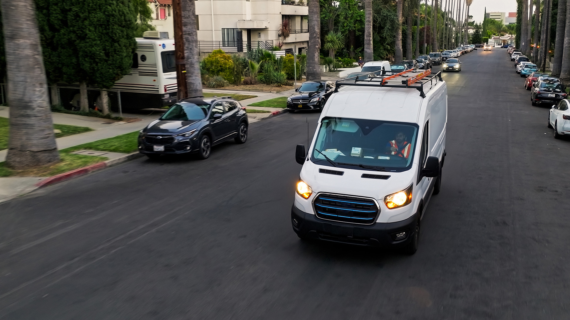
Geotab works with partners to find safety solutions
While the three-day conference has come to a close, the work to improve road safety never stops. Geotab helped organize an educational session to provide fleet managers with solutions for using big data to improve road safety and implement best practices for North American fleets.
Promoting safety through big data analysis
Incorporating telematics into a fleet safety program can help organizations target and reduce risks associated with specific driving behaviors, like speeding or harsh braking. In their presentation at the NETS conference, experts from Geotab and other organizations shared insights on how big data can be used to improve road safety.
Hazardous driving area datasets support safer routing
There are a wide range of datasets that contain pertinent information for on-road safety.
These datasets are the most helpful in terms of mapping out hazardous driving areas in the following cases:
- Non-perpendicular road crossings
- Areas under construction
- Distance from a highway merge to the next highway exit
- Entry points to busy roads without the requisite traffic control mechanisms
- Number of lanes
- Unmarked crossings
- Left-hand turns
Hazardous driving hotspots in California
Using Python and the Folium library, an interactive map was created to highlight all of the hazardous driving areas in the U.S. (in order of severity). Continuing from that sample, an additional code was used to extract the areas in the top 10% of severity scores within a specific area. Here, we looked at the top 10% of hazardous driving areas in the state of California.
.png)
Understand and solve traffic challenges with intersection data
Geotab’s insights on intersections aggregate data are produced by millions of connected vehicles, as well as additional third-party data sets, to characterize traffic flow and corridor performance in signalized intersections.
Data includes:
- Average dwell or stop times / intersection / time of day / turning movement
- Traffic queue lengths / intersection / time of day / turning movement
- Signal cycles for every queue (e.g., the number of green lights to clear a queue)
- Corridor travel time
- Corridor stop propensity
This data, which shows driver behavior at intersections, is used in combination with contextual data, such as weather, roadway information (e.g., highway, intersection, on/off ramp), time of day, or zone type (e.g., residential, industrial, rural.) These external influences can affect driver behavior in a number of ways, as adverse conditions might require maneuvers that should otherwise be avoided.
Safety scoring, therefore, takes this contextual data into account — driving on a sunny day in Chicago, for instance, will look different from winter in Baltimore — to provide an accurate picture of driver behavior. Such information can be used to implement individualized driver coaching programs, discussed later in this article.
To learn more about using big data to monitor hazardous intersections, read our white paper: Geotab smart intersection insights.
Smart city programs
To address challenges of mobility, efficiency and citizen engagement within urbanized areas, city leaders have turned to IoT and big data to help analyze their collective data. A “smart city” is defined as “an urban development vision to integrate information and communication technology (ICT) and Internet of Things (IoT) technology in a secure fashion to manage a city’s assets.” There can be many different ways to approach a smart city concept, however, almost every smart city program has one of or a combination of the following objectives:
- Safety: Minimizing accidents, injuries and emergency response times
- Sustainability: Reducing emissions and improving air quality
- Efficiency: Streamlining city operations to reduce costs
- Equality: Improving services in under-served and underprivileged areas
- Engagement: Encouraging citizen engagement
Driver behavior in big data
Driver behavior is key to improving on road safety. When attempting to analyze data, here are some examples of measurable driving behavior:
- Speeding (harsh accelerating, speeding or frequent accelerating)
- Stopping (harsh braking, frequent stopping or braking)
- Turning (harsh, accelerating before a turn, overbraking)
- Other (fatigued turning)
.png)
If you would like to learn more about Geotab’s solutions for fleet safety management, please visit our Fleet Safety page.
Safe driving!
See also: Global Fleet Conference recap 2021
Subscribe to get industry tips and insights
The Geotab Team write about company news.
Table of Contents
Subscribe to get industry tips and insights
Related posts

Crafting a fleet incident management plan that helps your municipality get ahead of claims
July 16, 2026
5 minute read
.jpg)
Marketplace Spotlight: Redefining Fleet Security with Matrix iQ
July 15, 2026
2 minute read
AI readiness checklist for field service fleets: Is your data ready for AI?
July 6, 2026
1 minute read

How sanitation fleets can prevent return trips and reduce solid waste collection costs
June 15, 2026
3 minute read
.png)
Elevating the Ecosystem: The BlueArrow Approach to Integrated Telematics
May 27, 2026
2 minute read