What is geofencing? How it works and why it matters for your fleet
Learn how geofencing works, what it’s used for and why it matters. This guide explains how geofence trackers and virtual boundaries can help improve visibility, boost security and ease operations.

By Derek Spik
Jul 28, 2025
Key Insights
- Geofencing creates boundaries that send alerts or actions when vehicles enter or exit defined areas.
- This helps fleets improve productivity, security and compliance by automating location tracking and reporting.
- You can customize geofence trackers for any location, including customer sites, job zones or restricted areas.
- Clear policies and thoughtful setup are essential to maximize benefits and avoid common challenges like alert fatigue or privacy concerns.
If you manage a fleet of vehicles or equipment, having real-time visibility into their location is critical for efficiency, safety and customer service.
Geofencing makes this possible by defining custom perimeters around physical locations. When a vehicle crosses one of these boundaries, the system can automatically send alerts, record activity or generate other actions.
In this guide, you’ll discover what geofencing is in fleet management, how it works, who uses it and the benefits it can bring to your operations. We’ll also cover common examples, considerations and steps to set up geofencing effectively.
What is a geofence?
A geofence is a defined area in a digital setting that corresponds to a real-world geographic area. When a vehicle equipped with a GPS vehicle tracking device or geofencing tracker crosses this boundary, the system automatically logs the event or sends an alert, depending on how you configure the geofence.
Whether you need to protect valuable assets, improve routing or track driver behavior, geofencing provides a reliable way to connect virtual controls with real-world activity.
How does geofencing work?
Geofencing combines GPS technology with fleet management software to create and monitor virtual boundaries. Each geofence is defined by a set of geographic coordinates that outline the perimeter of the area you want to track.
Setting up a geofence typically involves three steps:
- Select a location you want to oversee, such as a customer site, yard or restricted area.
- Draw the virtual boundary in your fleet management platform, using a map-based interface.
- Choose the triggers and notifications you want to enable, like email alerts, in-app messages or reports.
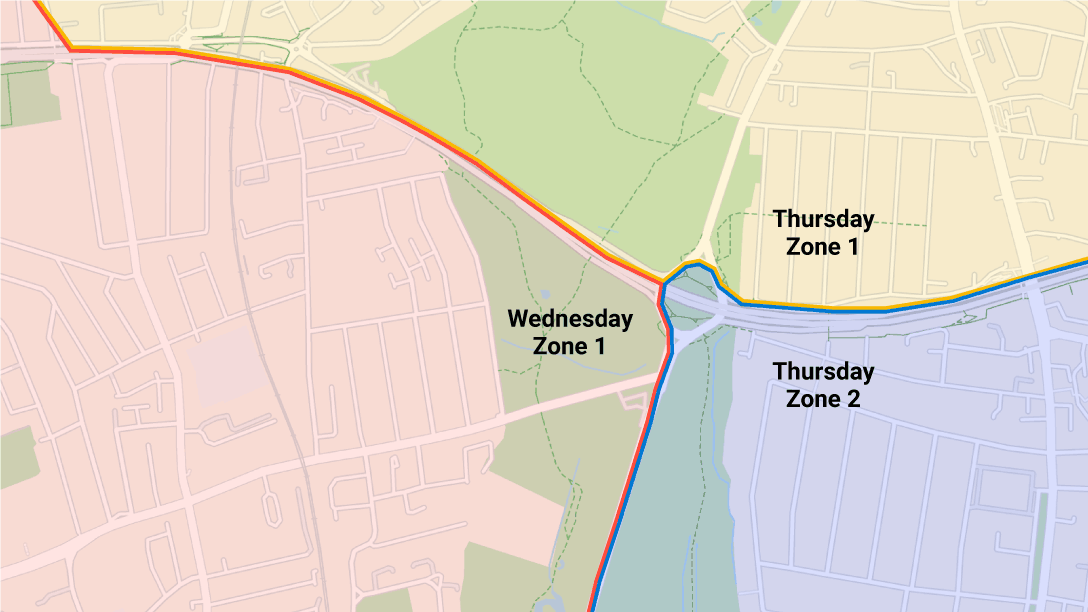
You can set up geofencing zones for a wider variety of places. Some common types of zones include:
- Airports
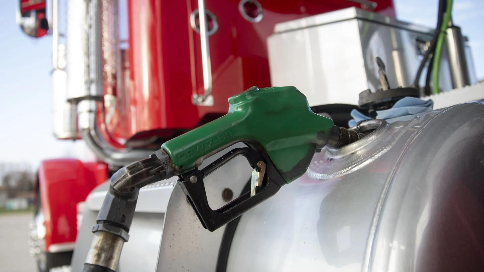
- Gas stations
- States or provinces
- Regions or countries
- Parking lots or yards
- Schools
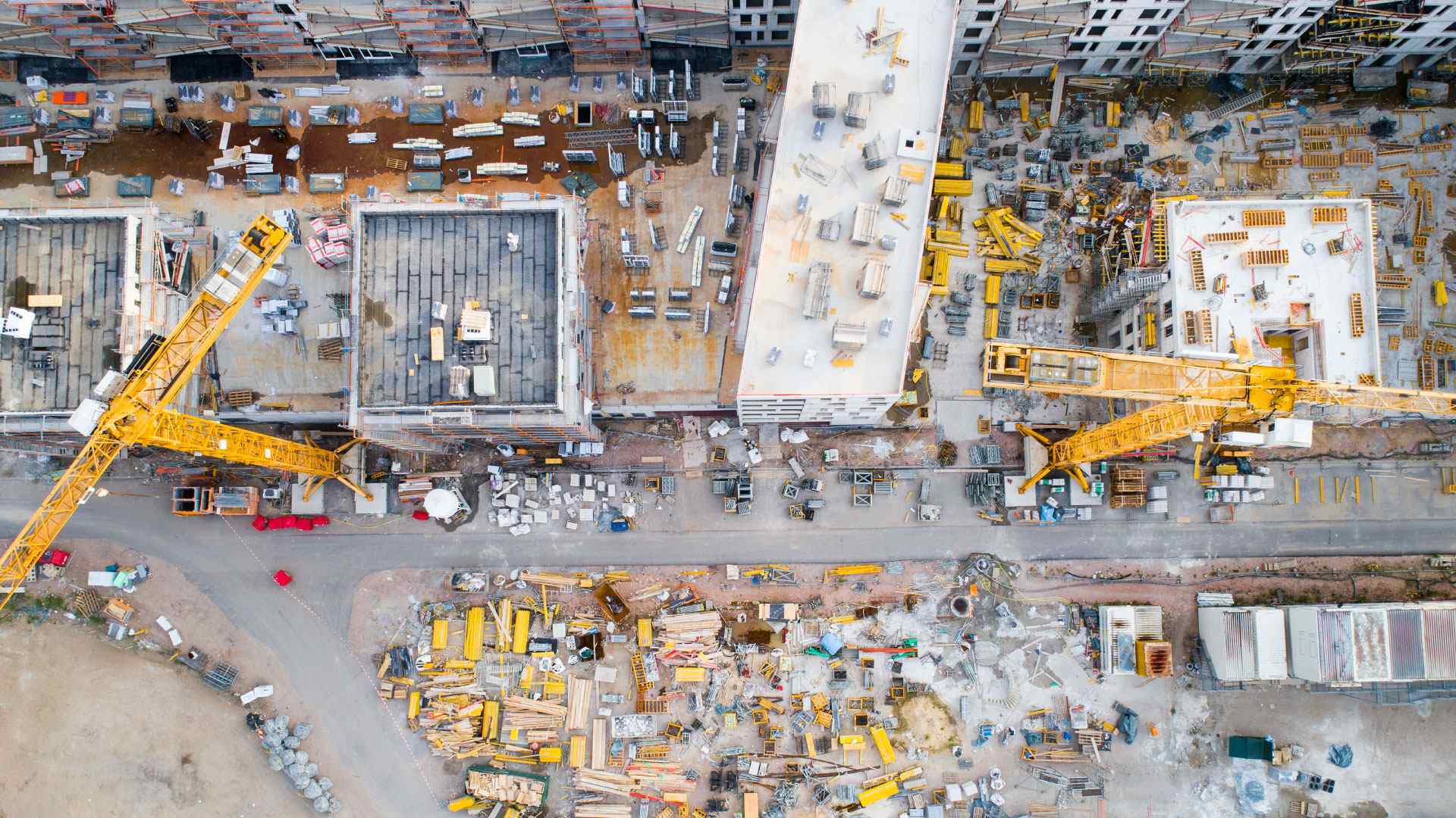
- Construction areas
Geofencing examples
Geofences can represent any type of area you need. Here are some quick geofencing use cases:
User | Example |
|---|---|
| Internet service providers (ISPs) | Create a geofence around the office to track how often technicians stop by. |
| Service or transportation companies | Draw perimeters around customer locations to confirm arrivals and unloading times. |
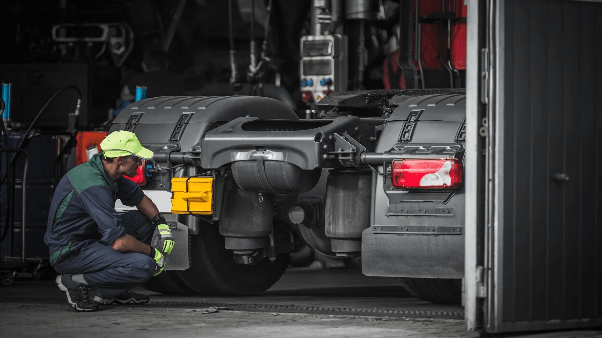
| Construction companies | Detect if equipment leaving a job site is stolen or moved without approval. |
Public sector or municipal fleets
| Create geofences around restricted zones to control vehicle access. |
| Waste management companies | Confirm when collection trucks arrive at disposal sites and complete routes. |
Car rental companies
| Spot when rental vehicles leave approved regions. |
Benefits of geofencing
Geofencing offers several advantages in fleet management, including:
- Improving fleet productivity by tracking arrival and departure times automatically.
- Enhancing efficiency through better route optimization and reduced idle time.
- Supporting customer service with real-time notifications and accurate ETAs.
- Increasing security by detecting unauthorized vehicle movement or theft.
- Enforcing policies like restricted zones or curfews to support compliance.
- Reducing fleet costs related to fuel waste, overtime and asset misuse.
- Simplifying reporting with automated logs of driver activity and location history.
- Supporting proactive fleet maintenance.
- Strengthening accountability by providing clear records of where and when vehicles operate.
By combining these benefits, geofencing helps fleets operate more safely, transparently and cost-effectively.
Geofencing considerations
Before implementing geofencing, it’s important to understand a few key considerations and potential drawbacks:
- GPS accuracy: Signal interference in tunnels, urban areas or remote regions can impact location precision.
- Privacy concerns: Tracking vehicle location may raise questions about driver privacy, so it’s essential to communicate policies clearly and comply with local regulations.
- Data usage: Continuous location tracking can increase data consumption and may require reliable cellular coverage.
- Driver acceptance: Some employees may be hesitant about increased oversight and need training or reassurance.
- Alert fatigue: Too many notifications or poorly configured alerts can overwhelm managers or lead to ignored messages.
- Setup time: Defining zones and configuring rules takes planning to avoid errors and ensure accuracy.
- Ongoing maintenance: You may need to update geofences when routes, customer sites or operational areas change.
By considering these factors early, you can design a geofencing program that supports your goals without creating unnecessary challenges.
How do you set up geofencing?
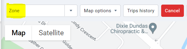
In MyGeotab, setting up geofences, or zones as we call them, is easy. All you need to do is log into MyGeotab and follow these steps:
- Navigate to Map in the menu.
- Click Add Zone.
- Search for the address in the text box or zoom in on the map.
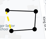
4. Click on the map to create the zone's perimeter.
5. Close the zone by clicking back on the first point added.
6. In the Zone Edit page, enter a desired name and other information as necessary to help you define the zone.
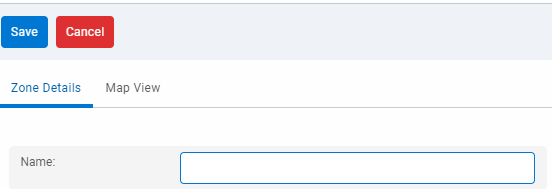
7. Click Save.
To see this process in action, you can also watch the below YouTube video:
Enhance your fleet's visibility with geofencing
Geofencing capabilities are transforming how fleets monitor, manage and protect their vehicles. By combining GPS tracking with defined zones, this technology helps you keep an eye on vehicle activity in real time, enforce policies and improve customer service.
With the right geofencing capabilities in place, your fleet can maintain compliance and operate more efficiently.
If you’d like to learn more about implementing geofencing or see how it works in action, explore Geotab’s solutions and start a free demo today.
Subscribe to get industry tips and insights
Frequently Asked Questions
Yes, geofencing uses GPS data to track when a vehicle enters, exits or remains within a defined area. You can use this information for alerts, reports or automated workflows.
User-defined geofencing means you create and customize boundaries based on your specific needs, such as customer sites, job locations or restricted zones.
Geofencing accuracy depends on GPS signal quality and device settings, but is typically precise up to 10 meters under normal conditions.
Derek Spik is a Senior Engineering Support Specialist for Geotab.
Table of Contents
Subscribe to get industry tips and insights
Related posts
Why maintenance scheduling for fleet assets requires more than a calendar
May 7, 2026
5 minute read
How fuel transaction controls help fleets manage costs in a volatile market
April 28, 2026
3 minute read

The 'ghost fleet' crisis: Why idle rental cars are your biggest liability
April 27, 2026
4 minute read

The plug-and-play rental fleet: Upgrade your technology without missing a single booking
April 27, 2026
5 minute read
The asset black hole: Why your equipment disappears the moment it leaves your facility
April 23, 2026
4 minute read