Driver Safety
Featured
.jpg)
.png)
AI dash cams vs. traditional: Which delivers better fleet safety?
December 8, 2025
5 minute read
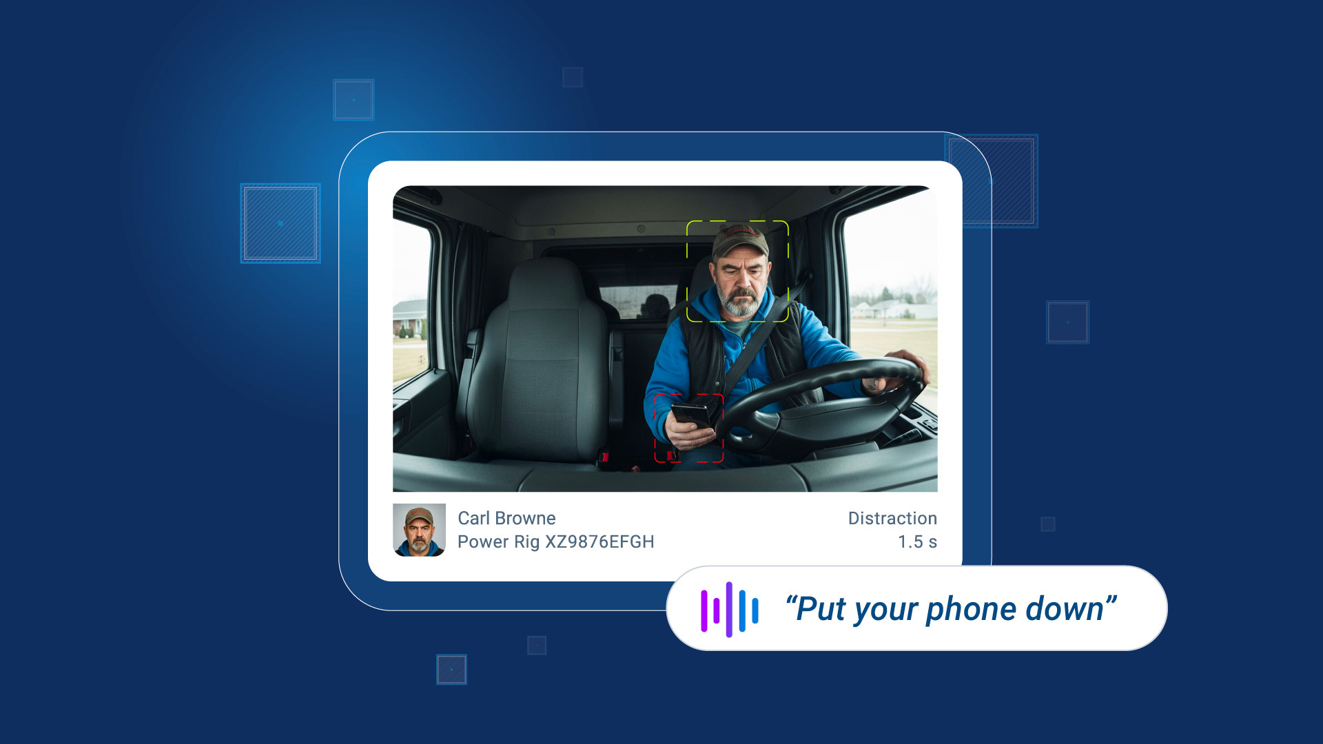
How AI dash cams help fleets tackle distracted driving and reduce collisions
October 23, 2025
4 minute read
Newest Posts

Collision avoidance systems: How fleets prevent incidents and improve safety
December 23, 2025
5 minute read
.png)
From the North Pole to the Highway: How AI and Predictive Insights Get Drivers Home for the Holidays
December 16, 2025
2 minute read
.jpg)
Subscribe to get industry tips and insights

How distracted driving cameras can help boost safety
Learn about the dangers of distracted driving, and how to avoid it.
March 24, 2021
1 minute read

Overcoming privacy hurdles in driver risk management
Data security and privacy compliance are among the most important considerations for many businesses.
March 22, 2021
2 minute read

Elevated risks of driving during the winter season
Discover the key risk factors associated with winter driving in all climates.
March 18, 2021
2 minute read
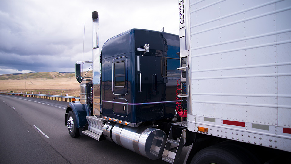
Everything you need to know about bypass programs
In this article we dispel common myths about bypass programs.
January 21, 2021
3 minute read

Halt harsh braking to improve fleet safety
Reduce risk, liability and collisions by targeting harsh braking.
January 13, 2021
1 minute read

9 ways to winterize your vehicle
Adapting to winter weather is a critical step when looking to improve fleet performance.
January 4, 2021
5 minute read

3 tips for coaching drivers from the world of management
Learn ways to build your coaching skills.
January 1, 2021
1 minute read
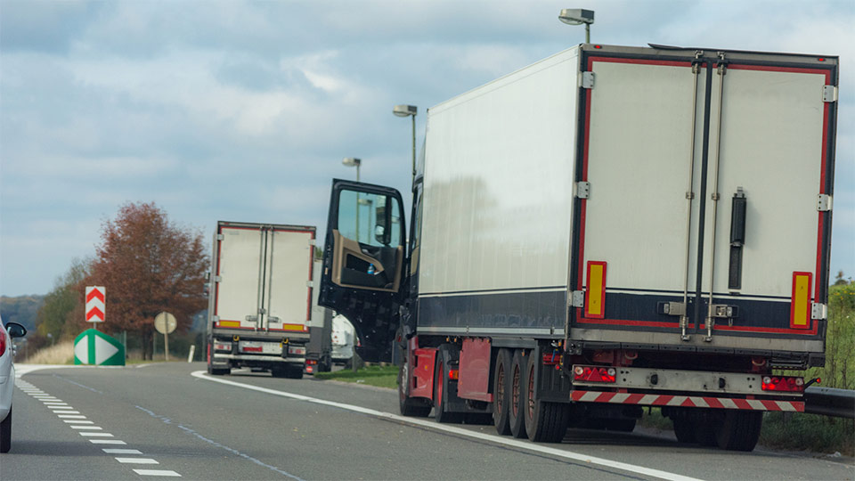
7 essentials for your truck emergency kit
You never know when you might find yourself in an emergency situation while on the road. Get tips on what to include in your survival kit.
December 29, 2020
2 minute read
Going from reactive to proactive fleet safety
UPS is a success story in proactive fleet safety. Read how the global leader in transportation and logistics services uses telematics for Health & Safety.
December 7, 2020
5 minute read

Phones Down, Eyes Up Benefit Concert
The third annual Phones Down, Eyes Up Benefit Concert was broadcast online for the first time.
November 25, 2020
3 minute read

Four best practices for fleet safety leaders
Simplify fleet safety management by layering in technology
October 27, 2020
2 minute read

How cities are using telematics to achieve their Vision Zero safety objectives
See how large cities like NYC are using telematics data to boost road safety.
June 29, 2020
2 minute read