Beyond consumer apps: 5 ways integrated navigation protects your fleet
Bridge strikes, HOS violations, hazardous routes — consumer apps don't prevent any of them. See how commercial truck routing built into your telematics changes the equation.

Jul 23, 2026
Key Insights
- Consumer GPS creates compounding liability: Routing apps built for passenger vehicles have no data for truck height, weight limits or bridge clearances.
- The two-app workflow is a safety gap, not a workaround: Running an ELD alongside a consumer navigation app means split attention on every turn, hundreds of times per shift — at 9x the baseline crash risk.
- Integrated navigation closes five gaps at once: Truck-safe routing, one device for navigation and compliance, trip logging, toll and hazard routing and navigation and compliance on one platform are only possible when navigation and fleet management share the same platform.
Whether your drivers are running a consumer navigation app alongside their electronic logging device (ELD) or working with a basic commercial truck routing solution, the question is the same: does your navigation actually know your trucks?
Not just the destination — the vehicle dimensions, the hours-of-service clock and more. Consumer apps keep costs low, and that trade-off makes sense on the surface, but it comes with real risks.
Here are five ways that a navigation system built specifically for commercial fleets changes the equation.
1. Routes built for your truck — not a passenger car
Consumer navigation apps are designed for passenger vehicles — not commercial truck routing. They have no data for vehicle height, posted weight limits, bridge clearances, hazmat routing designations or oversize permit corridors. The developers have acknowledged this publicly, and the Federal Motor Carrier Safety Administration (FMCSA) addresses this exact issue in their FAQs, warning that consumer GPS "may take [drivers] down roads they're not supposed to be on."
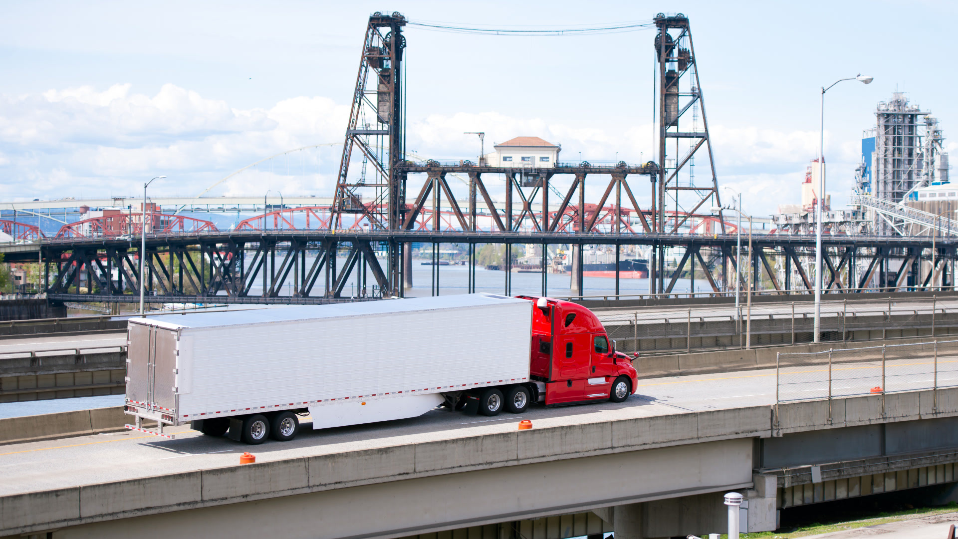
The consequences are well documented. There are approximately 15,000 truck bridge strikes per year in the United States. In one county in New York State, it was found that 92.3% of drivers who struck a bridge were following a consumer navigation app at the time.
When the cause is that consistent, it stops being an anomaly and starts being a problem.
Some fleets have addressed the routing gap with dedicated commercial truck GPS hardware — standalone devices that do account for vehicle height, weight and road restrictions. That is a meaningful improvement over a consumer app. But the problem those devices solve is narrower than the problem commercial fleets actually face.
A dedicated GPS unit is separate hardware: mounted, updated, and managed alongside whatever compliance app the driver already has open. It generates no fleet data — no record of the route driven, no visibility for the back office, no audit trail if a citation or incident surfaces later. And it has no connection to hours of service. A driver running dedicated truck GPS for routing and a separate ELD for compliance is still toggling between two systems that have no knowledge of each other. The two-screen distraction problem does not go away — it just has a different cause.
The fix starts with navigation that actually knows the truck. That means a system built around the vehicle's specific attributes — height, weight, axle configuration and hazmat classification — not just the destination. When those parameters are part of the route calculation from the start, drivers are never directed under a bridge their trailer can't clear, onto a road their load isn't permitted on, or through a corridor that requires routing they haven't been credentialed for. The route is built for that truck, on that load, before the driver ever pulls out of the yard.
2. One app, zero split-attention
Running an ELD for compliance and a consumer app for directions means two screens and a split-attention moment on every turn. For a driver on a full shift, that moment repeats hundreds of times a day.
Drivers have made it work with two apps because keeping costs low matters, but that choice has consequences. FMCSA research found that using a dispatching device while driving increases the risk of a safety-critical event 9x compared to baseline. Their study on Large Truck Crash Causation also found that 80% of crashes and near-crashes involve driver inattention in the three seconds before the event.
When navigation is built into the same platform as ELD and driver vehicle inspection report (DVIR), drivers go from managing two separate devices to one — eliminating the hardware split.
3. A complete record of every trip
Consumer GPS generates no data for your fleet. When a driver completes a delivery, the navigation app closes and nothing is reported back. There is no trip history, no record of the route actually taken and no way to verify what happened if a citation or dispute surfaces later.
If a citation, incident or customer dispute surfaces later, there is nothing to review.
An integrated system logs every trip automatically. Fleet managers can see actual routes driven versus planned routes assigned, flag deviations as they happen, and pull a complete record for any trip in the system. That audit trail helps when it comes to regulatory reviews, insurance disputes and customer SLA conversations — none of which a consumer app can support.
4. Routes that account for risk and cost — not just distance
Consumer navigation routes by distance and traffic. For a loaded commercial truck, that misses two categories of exposure that compound across every long-haul run.
The first is road risk. Consumer apps have no data on where loaded commercial trucks consistently brake hard, which descents generate brake fade events, or which corridors carry elevated crash risk for vehicles of a specific weight class. What looks unremarkable on a map can look very different from the cab of a loaded flatbed or tanker partway into a steep grade. A data-driven navigation system built on real commercial driving behavior data — not just topographic elevation maps — can send an alert directly to drivers to warn them of steep descent grades and high-risk zones before they arrive, not after they are already committed to the road. For flatbed carriers, tanker operators, and long-haul truckload drivers on terrain-heavy corridors, that advance warning is the difference between a safe delivery and a roadside incident.
The second is cost. Toll rates for commercial trucks are assessed by axle count, vehicle class or gross weight — often several times the posted passenger rate on major corridors. Consumer apps have no awareness of a truck's configuration and no mechanism for fleet-level preferences, leaving drivers to make toll calls individually in the cab. When toll preferences are part of the route calculation from the start, the fleet gets consistent, predictable cost exposure, not a different decision at every on-ramp.
5. One platform for navigation and compliance
When navigation and compliance run on separate platforms — an ELD app on one device, a consumer navigation app on another — drivers are managing two systems at highway speed under delivery pressure. Every time a driver needs to check their route and their remaining hours together, they are switching between applications, splitting their attention in the moments that matter most.
The stakes of that friction are real. Hours of service regulations exist because fatigued driving is a documented safety risk, and the FMCSA enforces them accordingly — with civil penalties for violations and out-of-service orders for drivers who exceed their limits. A driver placed out-of-service mid-route means a stranded load, a missed delivery window and a compliance record that follows the carrier. When the tools a driver needs are scattered across multiple devices and apps, the conditions for a compliance failure are already in place.
Geotab Navigation: all five solutions in one place
Geotab Navigation runs inside Geotab Drive — the same app drivers already have open for ELD logging, DVIR inspections and dispatch messaging — and is available as a standalone add-in on the Geotab Marketplace. What makes it different is not just integration — it is that it is built specifically for commercial truck routing, around how trucks actually operate.
Here is what that means in practice:
- Truck-safe routing: Vehicle dimensions, weight limits, bridge clearances and hazmat designations are factored into every route before the driver pulls out of the yard, not discovered mid-trip.
- One device, not two: Navigation, hours of service and vehicle inspection all live inside Geotab Drive — one application, one device, no second screen to mount or manage.
- Automatic trip logging: Every route feeds back into MyGeotab automatically, giving fleet managers real-time visibility into route adherence and a complete record for every trip driven.
- Hazard alerts: Advance warnings about steep descent grades and high-risk road segments reach drivers before they arrive — powered by real commercial driving behavior data, not just topographic maps.
- Toll and cost management: Toll preferences are factored into every route alongside vehicle dimensions and road restrictions, so the fleet gets consistent, predictable cost exposure — not a different decision made at every on-ramp.
- Single platform for navigation and compliance: Geotab Navigation runs inside Geotab Drive — the same app drivers already use for ELD logging and hours of service tracking — eliminating the need for a second device or separate navigation app.
The status quo has a cost. Here's the fix.
Consumer GPS is not a neutral choice for commercial fleets. It is five separate gaps — in routing safety, driver attention, fleet visibility, road risk and compliance workflow — each carrying its own exposure. Together, they represent a trade-off that made sense when the alternative felt out of reach.
The ROI compounds across every gap closed: every bridge strike avoided, every HOS violation prevented, every hazardous route flagged before a driver is committed to it. The stakes are that dire — in 2020, a Texas jury awarded $7.4 million against a carrier that deviated from an approved permit route and struck a bridge. The carrier had rejected a $750,000 settlement and subsequently ceased operations.
That is what navigation built specifically for commercial fleets actually delivers — and what the status quo has been costing you all along.
Explore Geotab Navigation on the Geotab Marketplace to learn more.
Subscribe to get industry tips and insights
Frequently Asked Questions
Commercial truck routing is the process of planning vehicle routes that account for the specific requirements of large commercial vehicles — including height restrictions, posted weight limits, bridge clearances, hazardous materials designations, and oversize permit corridors. Unlike consumer navigation, commercial truck routing factors in these constraints before a route is generated, so drivers are never directed onto roads their vehicle cannot legally or safely travel.
Consumer GPS apps are designed for standard passenger vehicles and do not include data for truck height, weight limits, bridge clearances or hazmat routing requirements. Developers have publicly acknowledged this limitation, and the FMCSA has warned that consumer GPS may route commercial drivers onto roads they are not permitted to travel. The consequences are well documented: bridge strikes, regulatory violations and significant legal liability — all of which fall on the carrier, not the app.
The costs compound quickly. FMCSA civil penalties for non-recordkeeping violations can reach $19,246 per incident for carriers and $4,812 per driver. For hazmat loads, civil penalties reach up to $102,348 per violation — and each day of a continuing violation constitutes a separate offense. Legal liability can also compound well beyond regulatory penalties: in a 2020 Texas case, a jury awarded $7.4 million against a carrier whose driver deviated from an approved permit route and struck a bridge — a carrier that had rejected a $750,000 settlement and subsequently ceased operations.
Commercial truck routing software incorporates vehicle-specific data — height, weight, axle configuration, hazmat classification — into every route calculation, and integrates with fleet management systems to log trips, provide fleet visibility, and keep navigation and compliance within a single unified platform. Consumer apps route based on distance and traffic for standard vehicles, generate no fleet data, and have no awareness of fleet status or hazardous routes. The gap is not a feature difference — it is structural.
Christine is the Content Manager for the Commercial sector
Table of Contents
- 1. Routes built for your truck — not a passenger car
- 2. One app, zero split-attention
- 3. A complete record of every trip
- 4. Routes that account for risk and cost — not just distance
- 5. One platform for navigation and compliance
- Geotab Navigation: all five solutions in one place
- The status quo has a cost. Here's the fix.
Subscribe to get industry tips and insights
Related posts

Top seven best fleet fuel cards: How to choose the right one for your business?
October 1, 2026
7 minute read

Fleet maintenance software for small business: 8 top tools and guide
September 29, 2026
7 minute read
Four ways to transform garbage fleet efficiency with data and video tools
September 28, 2026
4 minute read